Intramuros in Manila, Metro Manila, Philippines — Southeast Asia
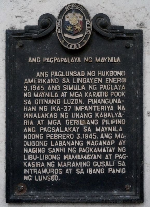
Ang Pagpapalaya ng Maynila / The Liberation of Manila
(English translation:)
Erected 1989 by National Historical Institute (now National Historical Commission of the Philippines).
Topics. This historical marker is listed in this topic list: War, World II. A significant historical date for this entry is February 3, 1945.
Location. 14° 35.461′ N, 120° 58.349′ E. Marker is in Manila, Metro Manila. It is in Intramuros. Marker is on Postigo Lucia Street, on the right when traveling east. Besided Plaza Willard and Chancery of the Roman Catholic Archdiocese of Manila. Touch for map. Marker is in this post office area: Manila, Metro Manila 1002, Philippines. Touch for directions.
Other nearby markers. At least 8 other markers are within walking distance of this marker. Former Palace of the Governors General (about 90 meters away, measured in a direct line); Palacio Arzobispal (about 90 meters away); Manila Cathedral (about 120 meters away); Plaza de Roma (about 150 meters away); San Ignacio Church (about 150 meters away); Ateneo de Manila (about 180 meters away); Padre Jose A. Burgos (about 180 meters away); Colegio de Santa Isabel (about 180 meters away). Touch for a list and map of all markers in Manila.
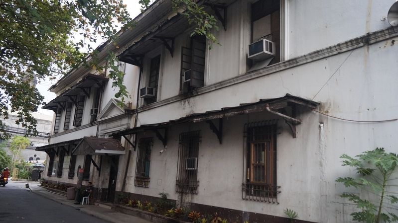
More about this marker. The marker is located on the Facade of Araullo Building (Comelec Annex), a survivor of the Battle of Manila.
Additional keywords. Battle of Manila
Credits. This page was last revised on January 10, 2024. It was originally submitted on February 5, 2023, by John Marion M. Capunitan of Calamba City, Laguna, Region IV A, Philippines. This page has been viewed 200 times since then and 61 times this year. Photos: 1, 2. submitted on February 5, 2023, by John Marion M. Capunitan of Calamba City, Laguna, Region IV A, Philippines. • Andrew Ruppenstein was the editor who published this page.

