Lipscomb in Jefferson County, Alabama — The American South (East South Central)
City of Lipscomb, Alabama
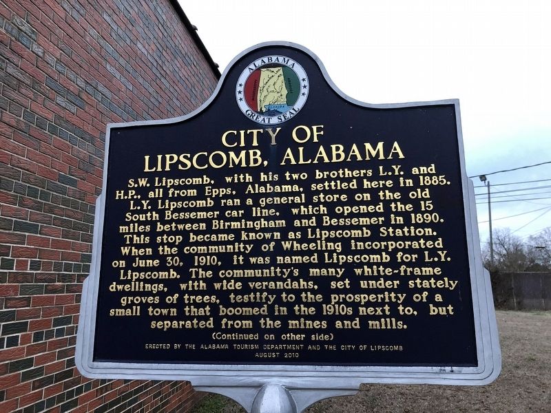
Photographed by Duane and Tracy Marsteller, February 4, 2023
1. City of Lipscomb, Alabama Marker, Side One
Wheeling was located at the intersection of Woodward's spur track with the Birmingham Mineral Railroad, which connected Woodward's ore mines and blast furnaces. The town was called Wheeling for West Virginia's late 19th-century rolling mill district, where the Woodward family owned ironworks and a nail plant. Residents, supplied with water from a big spring, framed or worked in brickyards, furnaces or businesses in Bessemer or in the Woodward mines. Wheeling was incorporated into Lipscomb in the 1940s. Situated on the southern branch
this page online
Erected 2010 by Alabama Tourism Department • City of Lipscomb.
Topics and series. This historical marker is listed in these topic lists: Political Subdivisions • Settlements & Settlers. In addition, it is included in the Alabama Tourism Department series list. A significant historical date for this entry is June 30, 1910.
Location. 33° 25.461′ N, 86° 55.53′ W. Marker is in Lipscomb, Alabama, in Jefferson County. It is at the intersection of Avenue H and 6th Street, on the right when traveling south on Avenue H. Marker is at Lipscomb City Hall. Touch for map. Marker is at or near this postal address: 5512 Avenue H, Bessemer AL 35020, United States of America.
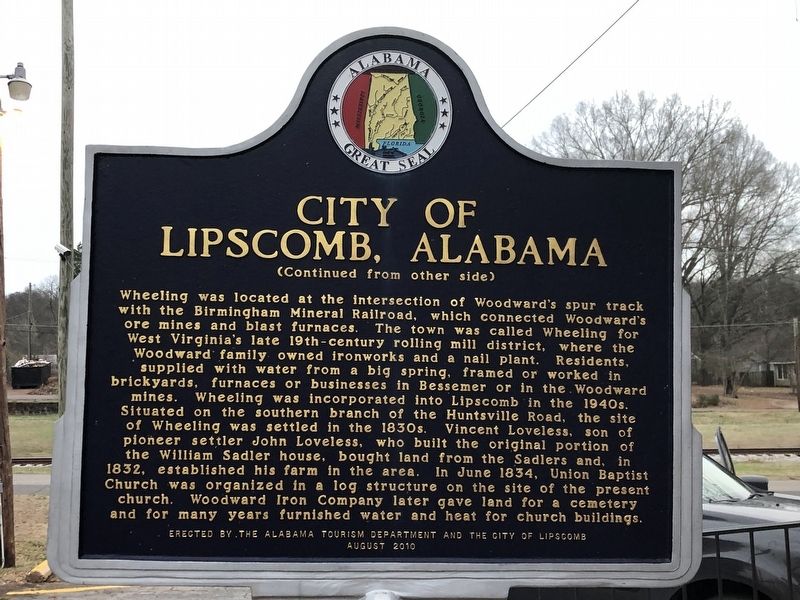
Photographed by Duane and Tracy Marsteller, February 4, 2023
2. City of Lipscomb, Alabama Marker, Side Two

Regionally, this marker is in the Birmingham Metropolitan Area. It is also in the American South and specifically in the Deep South. Globally, it is in North America, a Gulf of Mexico state, the Western Hemisphere, the Western World, and the Anglosphere. Historically, it finds itself in what was once the territory of the Mississippian Culture, one of the Confederate States of America, and the Antebellum South.
Other nearby markers. At least 8 other markers are within 3 miles of this marker, measured as the crow flies: Union Baptist Church And Cemetery (approx. 0.4 miles away); Lynching In America / The Lynching of William Miller (approx. 1½ miles away); The Bessemer Site (approx. 2.1 miles away); Sweet Home / Henry W. Sweet (approx. 2.2 miles away); Bright Star / Koikos Restaurant (approx. 2.2 miles away); “Spirit of the American Doughboy” (approx. 2.4 miles away); Hosea Holcombe (approx. 2.7 miles away); Bethlehem United Methodist Church (approx. 2.8 miles away).
Also see . . . Lipscomb. Encyclopedia of Alabama entry on the small town of roughly 2,500 people. (Submitted on February 9, 2023, by Duane and Tracy Marsteller of Murfreesboro, Tennessee.)
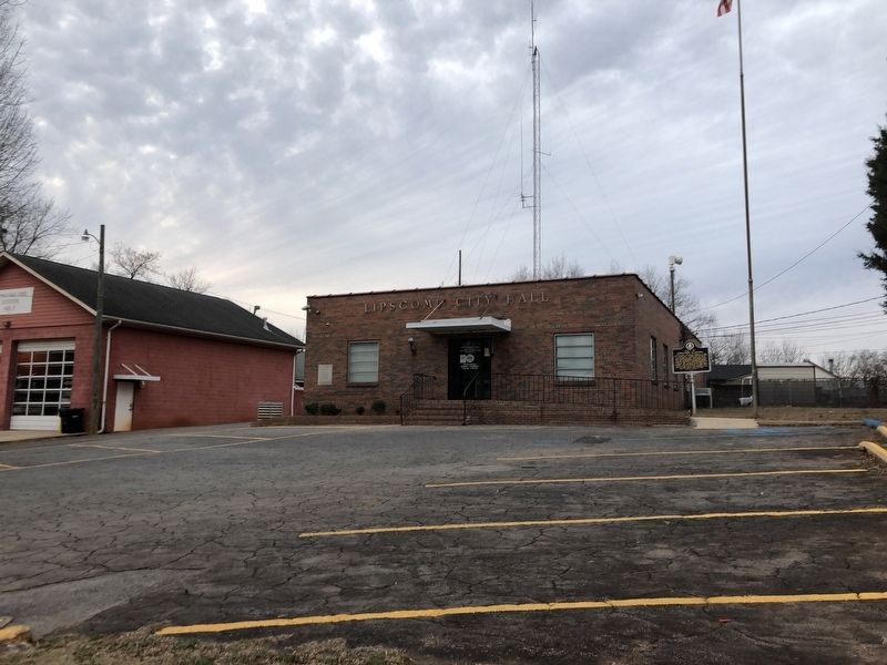
Photographed by Duane and Tracy Marsteller, February 4, 2023
3. City of Lipscomb, Alabama Marker
Credits. This page was last revised on February 9, 2023. It was originally submitted on February 9, 2023, by Duane and Tracy Marsteller of Murfreesboro, Tennessee. This page has been viewed 896 times since then and 70 times this year. Photos: 1, 2, 3. submitted on February 9, 2023, by Duane and Tracy Marsteller of Murfreesboro, Tennessee.
