Clawson in Oakland County, Michigan — The American Midwest (Great Lakes)
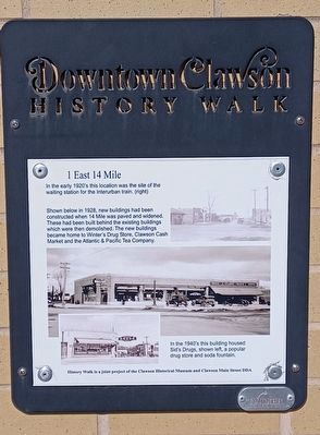
1 East 14 Mile
Downtown Clawson History Walk
In the early 1920's this location was the site of the waiting station for the Interurban train. (right)
Shown below in 1928, new buildings had been constructed when 14 Mile was paved and widened. These had been built behind the existing buildings which were then demolished. The new buildings became home to Winter's Drug Store, Clawson Cash Market and the Atlantic & Pacific Tea Company.
In the 1940's this building housed Sid's Drugs, shown left, a popular drug store and soda fountain.
History Walk is a joint project of the Clawson Historical Museum and Clawson Main Street DDA
Erected by Clawson Historical Museum and Clawson Main Street DDA.
Topics. This historical marker is listed in these topic lists: Industry & Commerce • Railroads & Streetcars. A significant historical year for this entry is 1928.
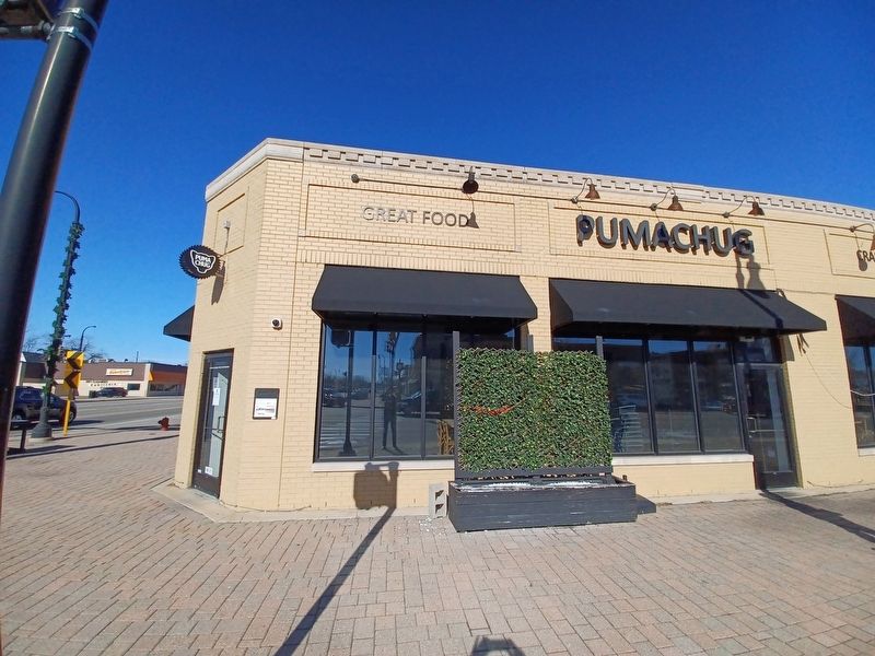
Location. 42° 32.018′ N, 83° 8.766′ W. Marker is in Clawson, Michigan, in Oakland County. Marker is at the intersection of 14 Mile Road and Main Street, on the right when traveling west on 14 Mile Road. Touch for map. Marker is at or near this postal address: 1 East 14 Mile Road, Clawson MI 48017, United States of America. Touch for directions.
Other nearby markers. At least 8 other markers are within walking distance of this marker. 20th Century Progress (within shouting distance of this marker); The Interurban 1899-1931 (within shouting distance of this marker); Clawson State Savings Bank (within shouting distance of this marker); Interurban Railroads in Michigan 1899-1931 (within shouting distance of this marker); Evolution of a Corner, 1900-1940 (within shouting distance of this marker); The Evolution of a Corner, 1860-1940 (within shouting distance of this marker); Clawson's Oldest Commercial Building (within shouting distance of this marker); East 14 Mile — the Clawson Road (within shouting distance of this marker). Touch for a list and map of all markers in Clawson.
Credits. This page was last revised on February 14, 2023. It was originally submitted on February 14, 2023, by Joel Seewald of Madison Heights, Michigan. This page has been viewed 91 times since then and 18 times this year. Photos: 1, 2. submitted on February 14, 2023, by Joel Seewald of Madison Heights, Michigan.

