16th Street Heights in Northwest Washington in Washington, District of Columbia — The American Northeast (Mid-Atlantic)
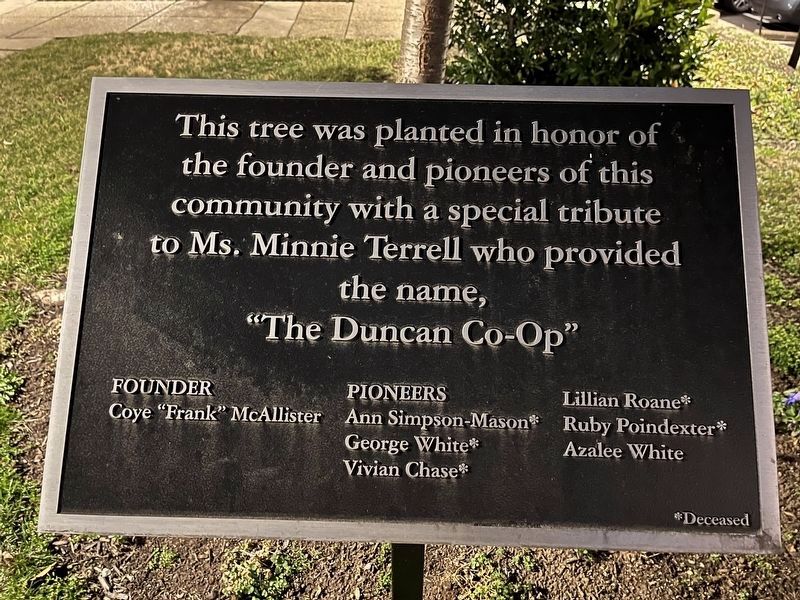
"The Duncan Co-Op"
This tree was planted in honor of the founder and pioneers of this community with a special tribute to Ms. Minnie Terrell who provided the name,
Founder
Coye "Frank" McAllister
Pioneers
Ann Simpson-Mason* • George White* • Vivian Chase* • Lillian Roane* • Ruby Poindexter* • Azalee White
*Deceased
Erected by The Duncan Cooperative.
Topics. This historical marker is listed in these topic lists: Industry & Commerce • Notable Buildings. A significant historical month for this entry is October 2006.
Location. 38° 56.809′ N, 77° 1.772′ W. Marker is in Northwest Washington in Washington, District of Columbia. It is in 16th Street Heights. Marker is on 13th Street Northwest south of Crittenden Street Northwest, on the right when traveling north. Touch for map. Marker is at or near this postal address: 4627 13th St NW, Washington DC 20011, United States of America. Touch for directions.
Other nearby markers. At least 8 other markers are within walking distance of this marker. Jones-Haywood School of Ballet (approx. 0.2 miles away); 14th Street Graffiti Museum (approx. 0.2 miles away); Faith Assembly of Christ, Inc. (approx. 0.2 miles away); St. Charles Baptist Church (approx. ¼ mile away); World War II Memorial (approx. ¼ mile away); St. Paul African Methodist Episcopal Church (approx. 0.3 miles away); Nineteenth Street Baptist Church Stormwater Features (approx. 0.4 miles away); New St. Paul Baptist Church (approx. half a mile away). Touch for a list and map of all markers in Northwest Washington.
Also see . . . Duncan Cooperative. Profile about the housing co-op on Organizing Neighborhood Equity (ONE) DC's site. (Submitted on February 21, 2023, by Devry Becker Jones of Washington, District of Columbia.)

Photographed By Devry Becker Jones (CC0), February 21, 2023
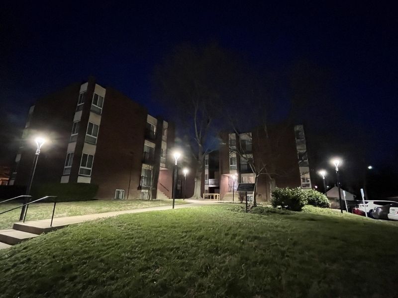
2. The Duncan Co-Op with the memorial tree in front
Credits. This page was last revised on February 21, 2023. It was originally submitted on February 21, 2023, by Devry Becker Jones of Washington, District of Columbia. This page has been viewed 121 times since then and 45 times this year. Photos: 1, 2. submitted on February 21, 2023, by Devry Becker Jones of Washington, District of Columbia.
Editor’s want-list for this marker. Clear, daylight photos of the marker and its context. • Can you help?
