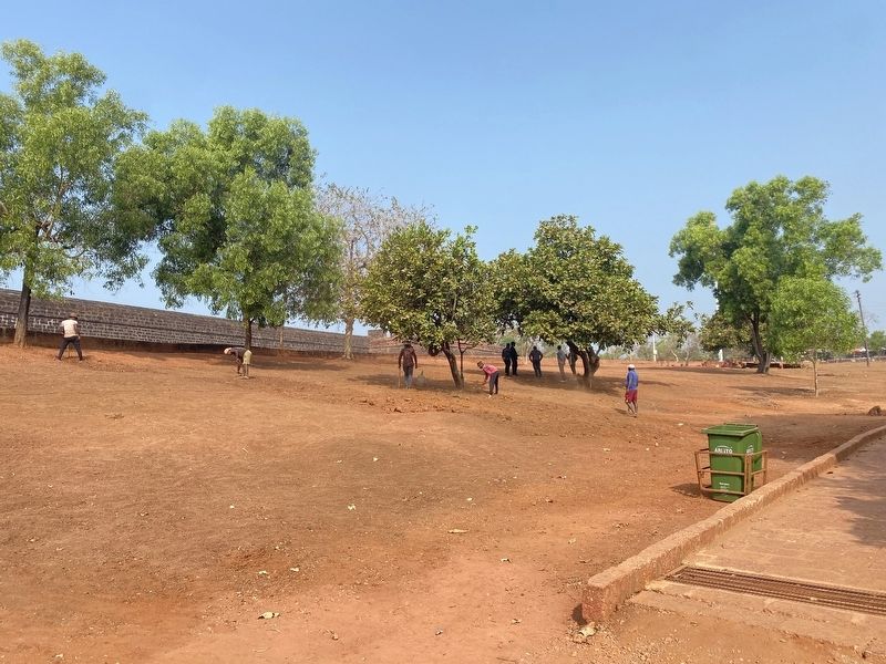
Aguada Fort Area in Candolim, Goa, India — भारत (South Asia)
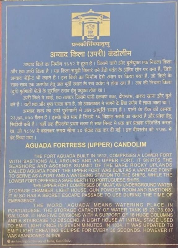
Aguada Fortress (Upper) Candolim
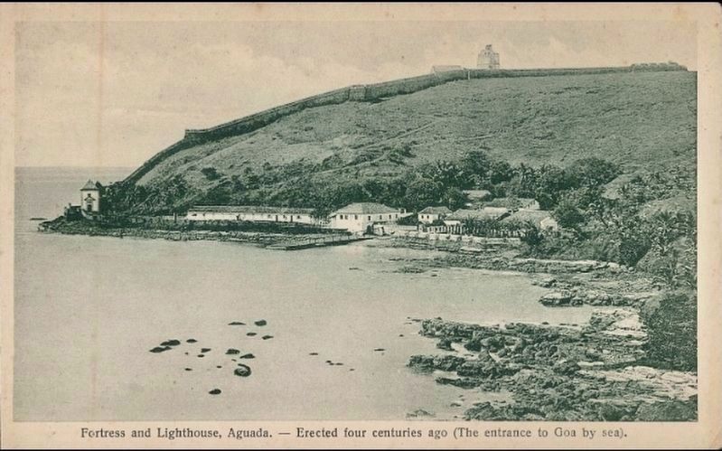
The Fort Aguada built in 1612, comprises a lower fort with bastions all around and an upper fort. it skirts the seashore and ascends summit of the bare rocky uplands called Aguada Point. The upper fort was built as a vantage point to serve as a fort and a watering station to the ships, while the lower fort offered a safe berth to Portuguese ships.
The upper fort comprises of moat, an underground water storage chamber, light house, gun powder room and bastions. It also has a secret escape passage to use during the time of emergency.
The word “aguada” means watering place in Portuguese. The storage capacity of water tank is 2,376,000 gallons. It has five divisions with a support of 16 huge columns and a staircase to descend. A light house at initial stage used to emit light once in seven minutes. In 1834, it was updated to emit light creating eclipse for every 30 seconds. However it was abandoned in 1976.
Archaeological Survey of India, Goa Circle.
Devanagari script not transcribed
Erected by Archaeological Survey of India, Goa Circle.
Topics. This historical marker is listed in this topic list: Forts and Castles. A significant historical year for this entry is 1612.
Location. 15° 29.525′ N, 73° 46.478′ E. Marker is in Candolim, Goa. It is in the Aguada Fort Area. Marker can be reached from Fort Aguada Road. Touch for map. Marker is in this post office area: Candolim, Goa 40351-5, India. Touch for directions.
Other nearby markers. At least 3 other markers are within 18 kilometers of this marker, measured as the crow flies. Upper Fort, Aguada (a few steps from this marker); The Tower of the Church of St. Augustine (approx. 14.2 kilometers away); Site of the Temple of Saptakoteshwar (approx. 16.8 kilometers away).
Also see . . . Fort Aguada. (Submitted on February 22, 2023, by Steve Stoessel of Niskayuna, New York.)
Credits. This page was last revised on February 23, 2023. It was originally submitted on February 22, 2023, by Steve Stoessel of Niskayuna, New York. This page has been viewed 45 times since then and 7 times this year. Photos: 1, 2. submitted on February 22, 2023, by Steve Stoessel of Niskayuna, New York. 3. submitted on February 23, 2023. • Andrew Ruppenstein was the editor who published this page.


