Equality Township in Tuscumbia in Miller County, Missouri — The American Midwest (Upper Plains)
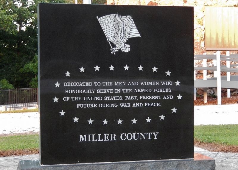
Miller County Veterans Memorial
honorably serve in the Armed Forces
of the United States, past, present and
future during War and Peace.
Miller County
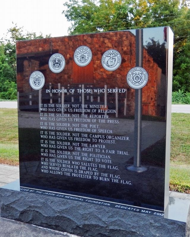
It is the soldier, not the minister,
who has given us freedom of religion.
It is the soldier, not the reporter,
who has given us freedom of the press.
It is the soldier, not the poet,
who has given us freedom of speech.
It is the soldier, not the campus organizer,
who has given us freedom to protest.
It is the soldier, not the lawyer,
who has given us the right to a fair trial.
It is the soldier, not the politician,
who has given us the right to vote.
It is the soldier who salutes the flag,
who serves beneath the flag
and whose coffin is draped by the flag,
who allows the protester to burn the flag.
Erected 2012 by Jason Ash Memorial Foundation.
Topics. This memorial is listed in this topic list: Military.
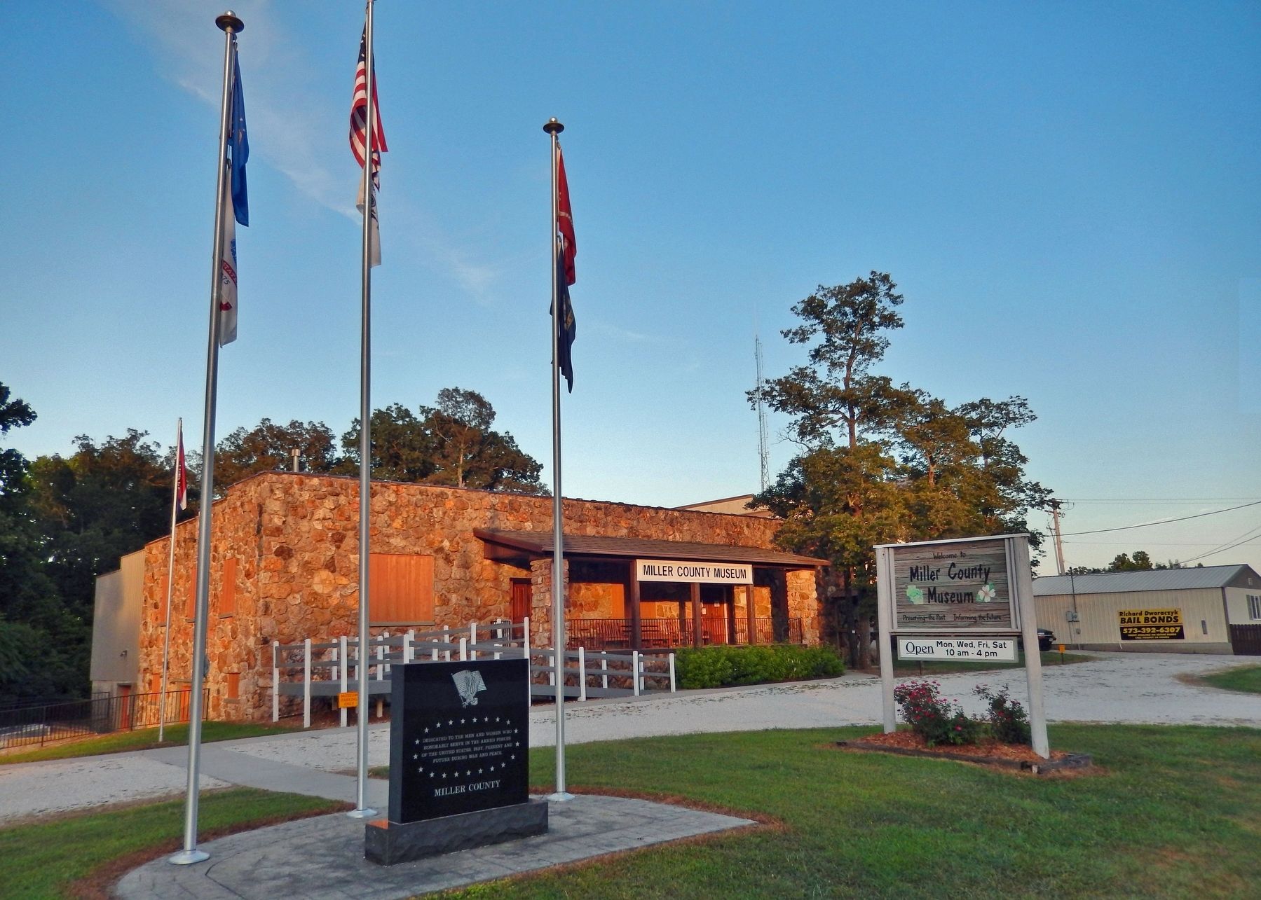
Location. 38° 14.478′ N, 92° 27.848′ W. Marker is in Tuscumbia, Missouri, in Miller County. It is in Equality Township. Memorial is on State Highway 52, 0.2 miles north of Myrtle Drive, on the right when traveling north. Memorial is located in front of the Miller County Museum. Touch for map. Marker is at or near this postal address: 2005 Missouri Highway 52, Tuscumbia MO 65082, United States of America. Touch for directions.
Other nearby markers. At least 2 other markers are within 10 miles of this marker, measured as the crow flies. Miller County (approx. 0.9 miles away); Bagnell Dam (approx. 9.4 miles away).
Credits. This page was last revised on February 27, 2023. It was originally submitted on February 26, 2023, by Cosmos Mariner of Cape Canaveral, Florida. This page has been viewed 81 times since then and 10 times this year. Photos: 1, 2, 3. submitted on February 27, 2023, by Cosmos Mariner of Cape Canaveral, Florida.


