Fort Trumbull in New London in Southeastern Region, Connecticut — The American Northeast (New England)
Officers’ Quarters
Photographed by Michael Herrick, February 16, 2023
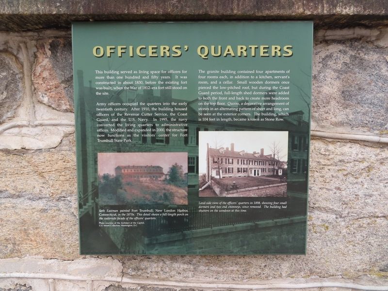
1. Officers’ Quarters Marker
This building served as living space for officers for more than one hundred and fifty years. It was constructed in about 1830, before the existing fort was built, when the War of 1812-era fort still stood on the site.
Army officers occupied the quarters into the early twentieth century. After 1910, the building housed officers of the Revenue Cutter Service, the Coast Guard, and the U.S. Navy. In 1995, the navy converted the living quarters to administrative offices. Modified and expanded in 2000, the structure now functions as the visitors' center for Fort Trumbull State Park.
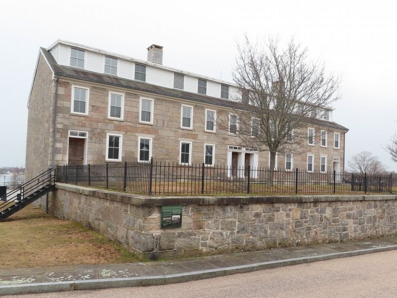
The granite building contained four apartments of four rooms each, in addition to a kitchen, servant's room, and a cellar. Small wooden dormers once pierced the low-pitched roof, but during the Coast Guard period, full-length shed dormers were added to both the front and back to create more headroom on the top floor. Quoins, a decorative arrangement of stones in an alternating pattern of short and long, can be seen at the exterior corners. The building, which is 104 feet in length, became known as Stone Row.
( photo captions )
— Seth Eastman painted
this page online
— Land-side view of the officers' quarters in 1898, showing four small dormers and two end chimneys, since removed. The building had shutters on the windows at this time.
Erected by Fort Trumbull State Park.
Topics. This historical marker is listed in this topic list: Forts and Castles.
Location. 41° 20.646′ N, 72° 5.662′ W. Marker is in New London in Southeastern Region, Connecticut. It is in Fort Trumbull. It can be reached from East Street, on the left when traveling south. Located in Fort Trumbull State Park. Touch for map. Marker is in this post office area: New London CT 06320, United States of America. Touch for directions.

Regionally, this marker is on the Connecticut Shoreline and in the Thames River Valley. It is also in the American Northeast, in New England, and on the Eastern Seaboard. Globally, it is in the North Atlantic
Photographed by Michael Herrick, February 16, 2023
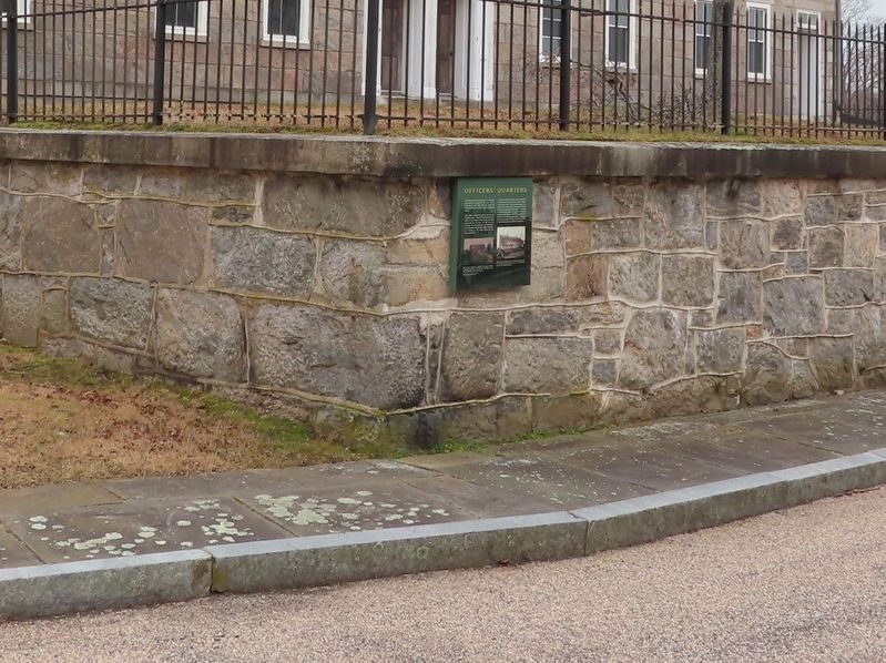
2. Officers’ Quarters Marker
Other nearby markers. At least 8 other markers are within walking distance of this marker: The Barracks (a few steps from this marker); Parade Ground (within shouting distance of this marker); Site Orientation (within shouting distance of this marker); Fort Trumbull (within shouting distance of this marker); Blockhouse (about 300 feet away, measured in a direct line); North Battery (about 300 feet away); Bottom Reflected Active Sonar System (BRASS) (about 300 feet away); Cold War (about 300 feet away). Touch for a list and map of all markers in New London.
Also see . . .
1. History of Fort Trumbull. Friends of Fort Trumbull website. (Submitted on February 27, 2023, by Michael Herrick of Southbury, Connecticut.)
2. Fort Trumbull (Wikipedia). (Submitted on February 27, 2023, by Michael Herrick of Southbury, Connecticut.)
Photographed by Michael Herrick, February 16, 2023
3. Fort Trumbull Officers’ Quarters
Credits. This page was last revised on September 27, 2026. It was originally submitted on February 27, 2023, by Michael Herrick of Southbury, Connecticut. This page has been viewed 175 times since then and 29 times this year. Photos: 1, 2, 3. submitted on February 27, 2023, by Michael Herrick of Southbury, Connecticut.
