
Middlesex Township near Carlisle in Cumberland County, Pennsylvania — The American Northeast (Mid-Atlantic)
Gold Beach
Liberation Pointe
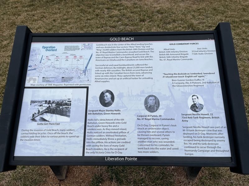
Gold Beach was in the center of the Allied landing beaches and was divided into four sectors: "How," "Item," "Jig," and "King." 25,000 soldiers from the British 50th Division and the No. 47 Royal Marine Commandoes assaulted Gold Beach. The objective was to establish a beachhead, and secure the town of Bayeux and the Caen-Bayeux Road to link with the Americans on Omaha and the Canadians on Juno Beaches.
Successful air and naval bombardments softened the German defenses. By midnight, about 25,000 men landed with nearly 400 casualties. The British secured Bayeux and linked up with the Canadian forces from Juno, advancing some six miles inland. They captured the town of Arromanches and set up an artificial harbor for unloading Allied supplies.
Gold Combatant Forces British 50th Infantry Division • British 8th Armoured Brigade • British 56th Infantry Brigade • No. 47, Royal Marine Commando
Allied Units
Axis Units 352nd Infantry Division • 716th Static Division
"Touching the dockside as I embarked, I wondered if I should ever touch 'English soil' again."
Bren Gunner Gordon Duffin, 19
A Company, (No. 8 Platoon), 2nd Battalion of the Gloucestershire Regiment
Sergeant Major Stanley Hollis
6th Battalion, Green Howards
Hollis
this page online
Corporal Al Pymm, 39
No. 47 Royal Marine Commandos
On D-Day, Corporal Al Pymm's boat struck an underwater object, causing him and several others to be thrown overboard. Pymm managed to recover, saving another man who was wounded. Concerned for his comrades, he went back into the water and saved two more soldiers.
Sergeant Neville Howell, 22
73rd Anti-Tank Regiment, British Army
Sergeant Neville Howell was part of an M-10 tank destroyer crew that was deployed on D-Day. Moments after landing, his tank destroyer narrowly escaped being destroyed by enemy fire. He and his tank destroyer continued to serve through the Normandy Campaign and throughout Europe.
[Caption:]
The greatest invasion in history relied on an intricate multipart attack. A prolonged aerial bombardment in the weeks leading up to D-day was followed by further air attacks on German positions in the early hours of June 6. Beginning around 0500 hours, Navy guns again hammered the Germans; the amphibious landings followed. In addition, some 24,000 men made airborne landings in Normandy, either by parachuting or landing in gliders.
Topics and series.
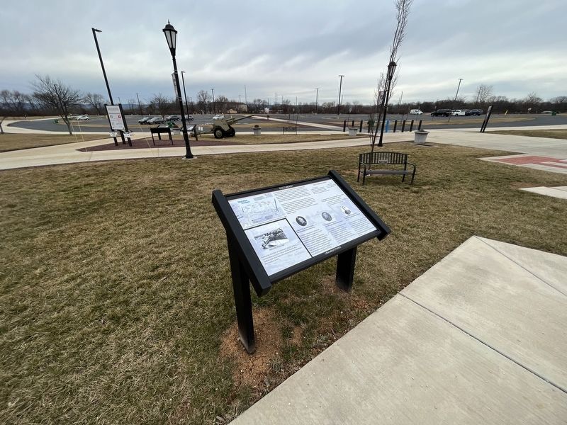
Location. 40° 12.44′ N, 77° 9.606′ W. Marker is near Carlisle, Pennsylvania, in Cumberland County. It is in Middlesex Township. It is on Soldiers Drive south of Army Heritage Drive, on the right when traveling east. Touch for map. Marker is at or near this postal address: 950 Soldiers Dr, Carlisle PA 17013, United States of America. Touch for directions.

Regionally, this marker is in South-Central Pennsylvania and in Greater Harrisburg. It is also in the American Northeast, in the Mid-Atlantic, in Appalachia, and specifically in Northern Appalachia. Globally, it is in North America, the Western Hemisphere, the Western World, and the Anglosphere. Historically, it finds itself in what was once the Haudenosaunee (Iroquois) Confederacy and also one of the original Thirteen Colonies.
Other nearby markers. At least 8 other markers are within walking distance of this marker: Utah Beach (here, next to this marker); Ranger and Airborne Operations (here, next to this marker); Operation Overlord (here, next to this marker); Omaha Beach (here, next to this marker); Sword Beach (here, next to this marker); Juno Beach (here, next to this marker); Private First Class Willard Dominick (a few steps from this marker); Corporal John D. LaWall (a few steps from this marker). Touch for a list and map of all markers in Carlisle.
Another marker is no longer nearby. Sergeant First Class Randall D. Shughart (was a few steps from this marker but has been confirmed missing).
Credits. This page was last revised on February 27, 2023. It was originally submitted on February 27, 2023, by Devry Becker Jones of Washington, District of Columbia. This page has been viewed 208 times since then and 13 times this year. Photos: 1, 2. submitted on February 27, 2023, by Devry Becker Jones of Washington, District of Columbia.
