Woolcott near Brooksville in Bracken County, Kentucky — The American South (East South Central)
Walcott Covered Bridge / Covered Bridges
Inscription.
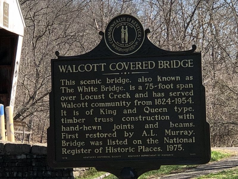
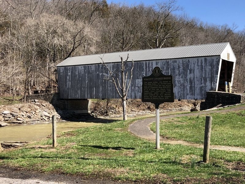
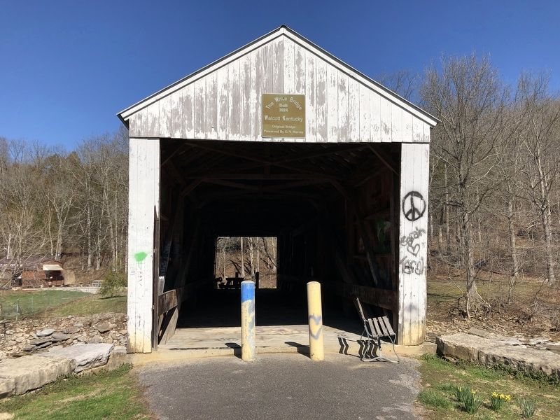
Walcott Covered Bridge This scenic bridge, also known as The White Bridge, is a 75-foot span over Locust Creek and has served Walcott community from 1824-1954. It is of King and Queen type, timber truss construction with hand-hewn joints and beams. First restored by A. L. Murray. Bridge was listed on the National Register of Historic Places, 1975.
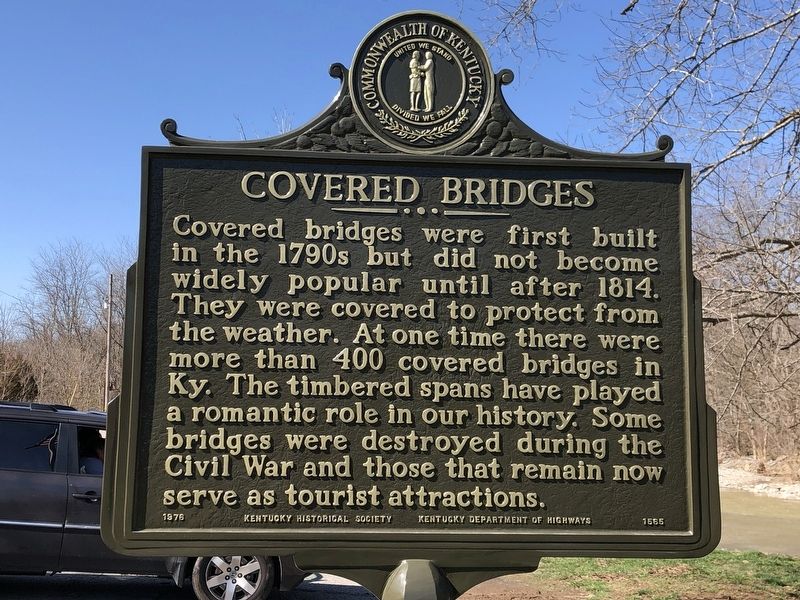
Covered Bridges Covered bridges were first built in the 1790s but did not become widely popular until after 1814. They were covered to protect them from the weather. At one time there were more than 400 covered bridges in Ky. The timbered spans have played a romantic role in our history. Some were destroyed during the Civil War and those that remain now serve as tourist attractions.
Erected 1976 by Kentucky Historical Society • Kentucky Department of Highways. (Marker Number 1565.)
Topics and series. This historical marker is listed in this topic list: Bridges & Viaducts. In addition, it is included in the Covered Bridges, and the Kentucky Historical Society series lists. A significant historical year for this entry is 1824.
Location. 38° 43.976′ N, 84° 5.91′ W. Marker is near Brooksville, Kentucky, in Bracken County. It is in Woolcott. Marker is on Woolcott Road, 0.1 miles east of Wellsburg Walcott Road (Kentucky Route 1159) when traveling east. Touch for map. Marker is at or near this postal address: 25 Wellsburg Walcott Road, Brooksville KY 41004, United States of America. Touch for directions.
Other nearby markers. At least 8 other markers are within 5 miles of this marker, measured as the crow flies. Mordecai Chalfant House (approx. 2˝ miles away); Utopia (approx. 3.8 miles away in Ohio); Bradford Schoolhouse (approx. 4 miles away); Locking Through (approx. 4.3 miles away in Ohio); Replacing Chilo (approx. 4.3 miles away in Ohio); The Flood of 1937 (approx. 4.3 miles away in Ohio); Search Lights (approx. 4.3 miles away in Ohio); The Chilo Lock and Dam #34 Walking Tour (approx. 4.3 miles away in Ohio).
Also see . . . Walcott Covered Bridge. National Register nomination (PDF) and photographs (separate PDF) submitted for the bridge. (National Park Service) (Submitted on March 8, 2023, by Duane and Tracy Marsteller of Murfreesboro, Tennessee.)
Credits. This page was last revised on March 8, 2023. It was originally submitted on March 8, 2023, by Duane and Tracy Marsteller of Murfreesboro, Tennessee. This page has been viewed 117 times since then and 35 times this year. Photos: 1, 2, 3, 4. submitted on March 8, 2023, by Duane and Tracy Marsteller of Murfreesboro, Tennessee.


