Washington Township in Loyalton in Dauphin County, Pennsylvania — The American Northeast (Mid-Atlantic)
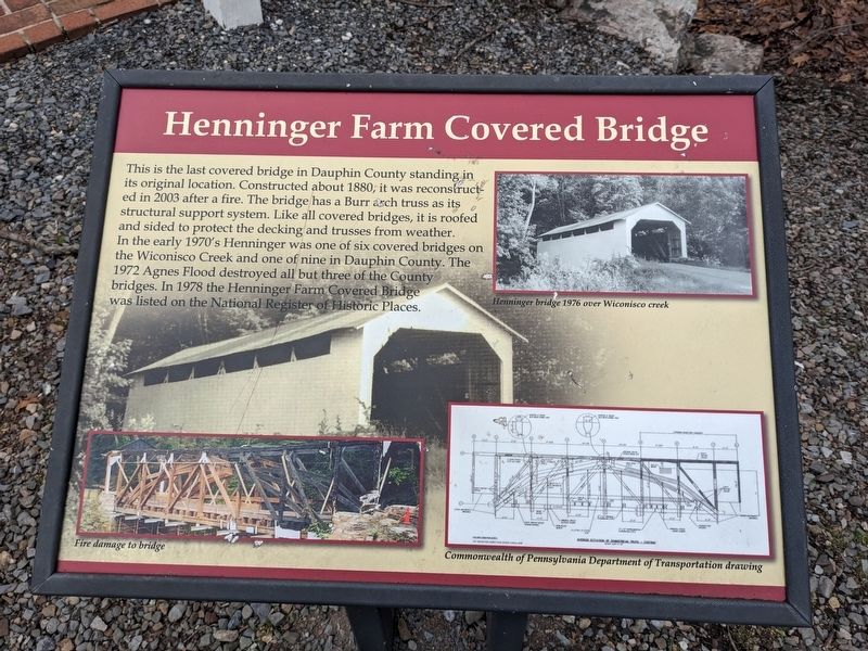
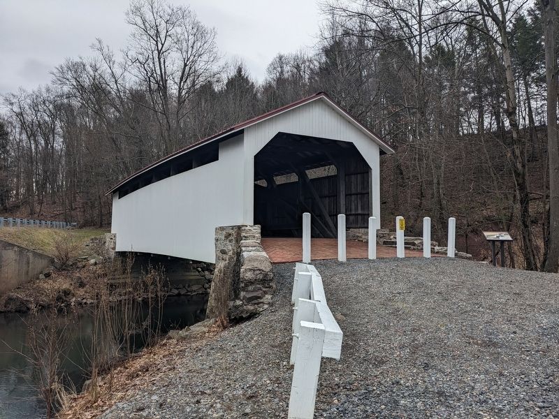
Henninger Farm Covered Bridge
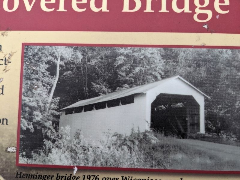
In the early 1970's Henninger was one of six covered bridges on the Wiconisco Creek and one of nine in Dauphin County. The 1972 Agnes Flood destroyed all but three of the County bridges. In 1978 the Henninger Farm Covered Bridge was listed on the National Register of Historic Places.
Topics and series. This historical marker is listed in these topic lists: Architecture • Bridges & Viaducts. In addition, it is included in the Covered Bridges series list. A significant historical year for this entry is 1880.
Location. 40° 34.639′ N, 76° 47.035′ W. Marker is in Loyalton, Pennsylvania, in Dauphin County. It is in Washington Township. Marker is on Henninger Road, 0.1 miles north of Matter Road, on the right when traveling south. This bridge is closed to vehicular traffic. Touch for map. Marker is at or near this postal address: Henninger Road, Elizabethville PA 17023, United States of America. Touch for directions.
Other nearby markers. At least 8 other markers are within 5 miles of this marker, measured as the crow flies. The Romberger-Stover House (approx. 2.2 miles away); Elizabethville Veterans Memorial (approx. 2˝ miles away); Eisenhower Ancestral Home (approx. 3.1 miles away); Gratz (approx. 3.3 miles away); Lykens (approx. 4 miles away); Leonard Reedy (approx. 4.2 miles away); GAR Building (approx. 4˝ miles away); War Memorial (approx. 5.1 miles away).
Credits. This page was last revised on March 14, 2023. It was originally submitted on March 12, 2023, by William Pope of Marietta, Pennsylvania. This page has been viewed 131 times since then and 35 times this year. Photos: 1, 2, 3, 4, 5. submitted on March 12, 2023, by William Pope of Marietta, Pennsylvania. • Bill Pfingsten was the editor who published this page.
