Near Paris in Bourbon County, Kentucky — The American South (East South Central)
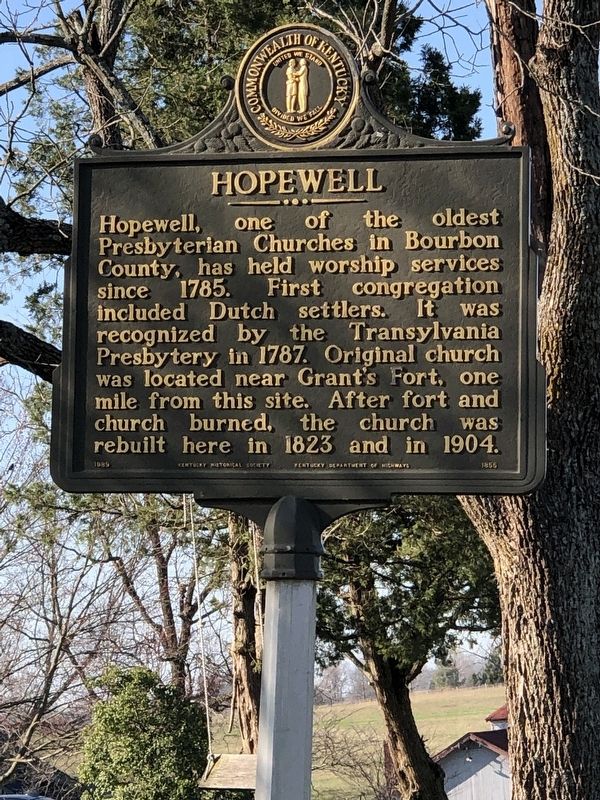
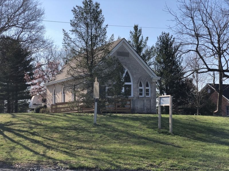
Hopewell
Erected 1989 by Kentucky Historical Society • Kentucky Department of Highways. (Marker Number 1855.)
Topics and series. This historical marker is listed in this topic list: Churches & Religion. In addition, it is included in the Kentucky Historical Society series list. A significant historical year for this entry is 1785.
Location. 38° 8.625′ N, 84° 21.155′ W. Marker is near Paris, Kentucky, in Bourbon County. Marker is at the intersection of U.S. 27 and Hutchison Station Road (Kentucky Route 1939), on the right when traveling north on U.S. 27. Touch for map. Marker is at or near this postal address: 102 Hutchison Station Rd, Paris KY 40361, United States of America. Touch for directions.
Other nearby markers. At least 8 other markers are within 7 miles of this marker, measured as the crow flies. Major P.P. Johnston, CSA (approx. 4.8 miles away); Johnston's Inn (approx. 5.4 miles away); Frankfort & Cincinnati Railroad / The Depot Centreville - Stop 32 (approx. 5.4 miles away); Maddoxtown (approx. 5.4 miles away); Centerville Baptist Church (approx. 5.6 miles away); Bryan Station Memorial (approx. 5.8 miles away); Bryan's Station (approx. 5.8 miles away); Bourbon County Confederate Memorial (approx. 6.2 miles away). Touch for a list and map of all markers in Paris.
Also see . . . Hopewell Church. According to Collins History of Kentucky, a group of people from Cumberland County, Pennsylvania settled and founded the Associate Reformed Presbyterian Church at the south end of Bourbon County near the Fayette County line. (Hopewell Museum) (Submitted on March 14, 2023, by Duane and Tracy Marsteller of Murfreesboro, Tennessee.)
Credits. This page was last revised on March 14, 2023. It was originally submitted on March 14, 2023, by Duane and Tracy Marsteller of Murfreesboro, Tennessee. This page has been viewed 98 times since then and 29 times this year. Photos: 1, 2, 3. submitted on March 14, 2023, by Duane and Tracy Marsteller of Murfreesboro, Tennessee.


