Near Wilmore in Jessamine County, Kentucky — The American South (East South Central)
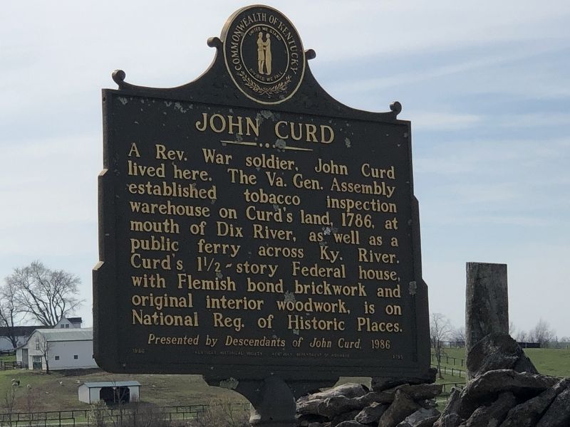
John Curd
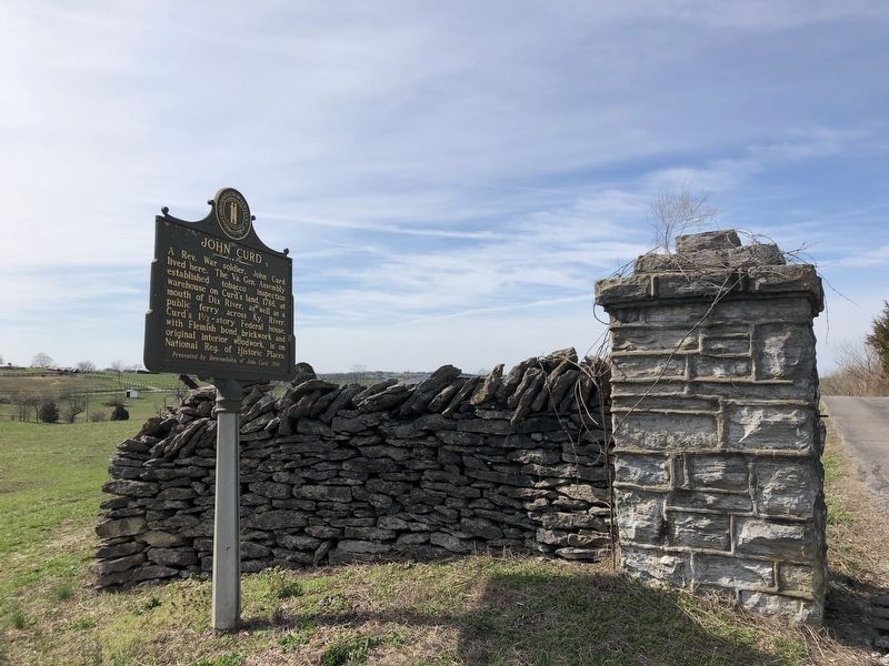
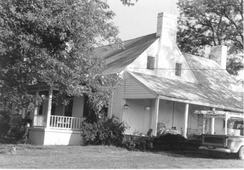
A Rev. War soldier, John Curd lived here. The Va. Gen. Assembly established tobacco inspection warehouse on Curd's land, 1786, at mouth of Dix River, as well as a public ferry across Ky. River. Curd's l1/2-story Federal house, with Flemish bond brickwork and original interior woodwork, is on National Reg. of Historic Places.
Erected 1986 by Kentucky Historical Society • Kentucky Department of Highways. (Marker Number 1795.)
Topics and series. This historical marker is listed in these topic lists: Architecture • Settlements & Settlers. In addition, it is included in the Kentucky Historical Society series list. A significant historical year for this entry is 1786.
Location. 37° 49.769′ N, 84° 41.864′ W. Marker is near Wilmore, Kentucky, in Jessamine County. Marker is on High Bridge Road (Kentucky Route 29) 1.1 miles west of Handys Bend Road, on the right when traveling west. Touch for map. Marker is at or near this postal address: 3145 High Bridge Rd, Wilmore KY 40390, United States of America. Touch for directions.
Other nearby markers. At least 8 other markers are within 3 miles of this marker, measured as the crow flies. Kentucky River Palisades (approx. 1.3 miles away); An Engineering Landmark (approx. 1.3 miles away); High Bridge (approx. 1.4 miles away); John McMurtry’s Station (approx. 2 miles away); Shaker Landing / Shaker Landing Road (approx. 2.2 miles away); Old Mail Stage Route (approx. 2½ miles away); "Morgan's Men" Here (approx. 2½ miles away); Shakertown at Pleasant Hill (approx. 2½ miles away). Touch for a list and map of all markers in Wilmore.
Also see . . .
1. Patriot Ancestor: John Curd, Jr. During the 1780s, John Curd (1726-1797) was sent into Kentucky, then the westernmost part of Virginia, on official missions by the administration of Governor Patrick Henry. (Daniel S. Curd, George Mason Chapter, Virginia Society, Sons of the American Revolution, posted Aug. 5, 2013) (Submitted on March 15, 2023, by Duane and Tracy Marsteller of Murfreesboro, Tennessee.)
2. Curd House. Kentucky Historic Resources Inventory form (PDF) and photographs (separate PDF) submitted for the site's inclusion in the National Register. (National Park Service) (Submitted on March 15, 2023, by Duane and Tracy Marsteller of Murfreesboro, Tennessee.)
Credits. This page was last revised on April 28, 2024. It was originally submitted on March 15, 2023, by Duane and Tracy Marsteller of Murfreesboro, Tennessee. This page has been viewed 177 times since then and 59 times this year. Photos: 1, 2, 3. submitted on March 15, 2023, by Duane and Tracy Marsteller of Murfreesboro, Tennessee.


