Near Wilmore in Jessamine County, Kentucky — The American South (East South Central)
An Engineering Landmark
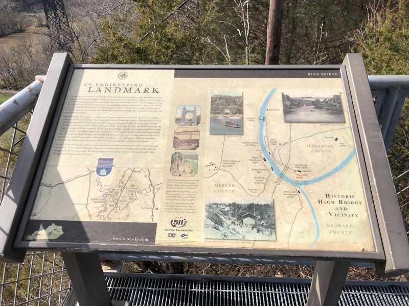
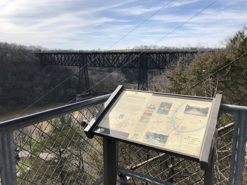
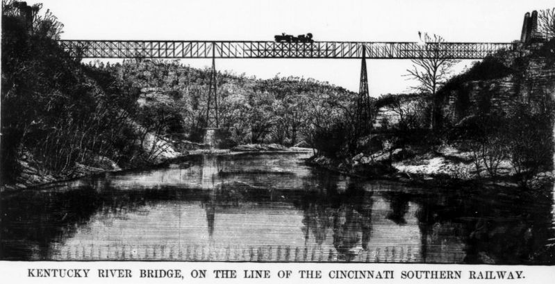
Almost twenty years later, the Cincinnati Southern Railroad initiated another, successful, effort to construct a bridge. This bridge did not use Roebling's towers. Charles Shaler Smith, chief engineer for the Baltimore Bridge Company, designed and built a cantilever bridge – the first in North America. When opened in 1877, the bridge 275 feet above the river was the highest bridge in North America. The 1,125-foot bridge was also the longest cantilever bridge and the highest railroad bridge in the world. Scores of people traveled to see the engineering marvel known as High Bridge. Special excursion trains ran to the bridge overlook. By 1879, promotors had built a pavilion, restaurant, picnic grounds and riding stable on this site. High Bridge Park became the center of social and cultural life in Jessamine County.
In 1911, High Bridge was rebuilt and strengthened to withstand a dead load of seven tons per linear foot. The American Bridge Company built the improved bridge around the existing bridge with no loss of service. Roebling's beautifully crafted stone towers stood until High Bridge was double tracked in 1929.
[Captions (counterclockwise from top right)]
• High Bridge as it appeared in 1906.
• The ferry at High Bridge.
• Top: The bases of Roebling's towers are still visible. Roebling later built New York's Brooklyn Bridge and the suspension bridge that spans the Ohio River at Cincinnati.
• Middle: Rebuilding High Bridge, ca. 1910. The American Society of Civil Engineers declared High Bridge a National Historic Civil Engineering Landmark in 1986.
• Bottom: 271 steps once led from High Bridge Park to the river below. They were destroyed in 1948 when railroad workers clearing brush accidentally set them on fire.
• Passengers disembark from an excursion train at High Bridge.
Topics. This historical marker is listed in these topic lists: Bridges & Viaducts • Railroads & Streetcars. A significant historical year for this entry is 1877.
Location. 37° 49.053′ N, 84° 42.985′ W. Marker is near Wilmore, Kentucky, in Jessamine County
. Marker can be reached from Old Park Road, 0.1 miles east of Lock 7 Road, on the right when traveling east. Marker is on the overlook at High Bridge Park. Touch for map. Marker is in this post office area: Wilmore KY 40390, United States of America. Touch for directions.
Other nearby markers. At least 8 other markers are within 2 miles of this marker, measured as the crow flies. Kentucky River Palisades (within shouting distance of this marker); High Bridge (approx. 0.2 miles away); Shaker Landing / Shaker Landing Road (approx. one mile away); John Curd (approx. 1.3 miles away); Old Mail Stage Route (approx. 1.3 miles away); Shakertown at Pleasant Hill (approx. 1.3 miles away); "Morgan's Men" Here (approx. 1.3 miles away); John McMurtry’s Station (approx. 1.6 miles away). Touch for a list and map of all markers in Wilmore.
Also see . . . Scientific American Supplement No. 95. This Oct. 27, 1877 magazine supplement focuses on the High Bridge, with images and details of its construction. (Internet Archive) (Submitted on March 15, 2023, by Duane and Tracy Marsteller of Murfreesboro, Tennessee.)
Credits. This page was last revised on March 15, 2023. It was originally submitted on March 15, 2023, by Duane and Tracy Marsteller of Murfreesboro, Tennessee. This page has been viewed 85 times since then and 14 times this year. Photos: 1, 2, 3. submitted on March 15, 2023, by Duane and Tracy Marsteller of Murfreesboro, Tennessee.


