Near Currie in Pender County, North Carolina — The American South (South Atlantic)
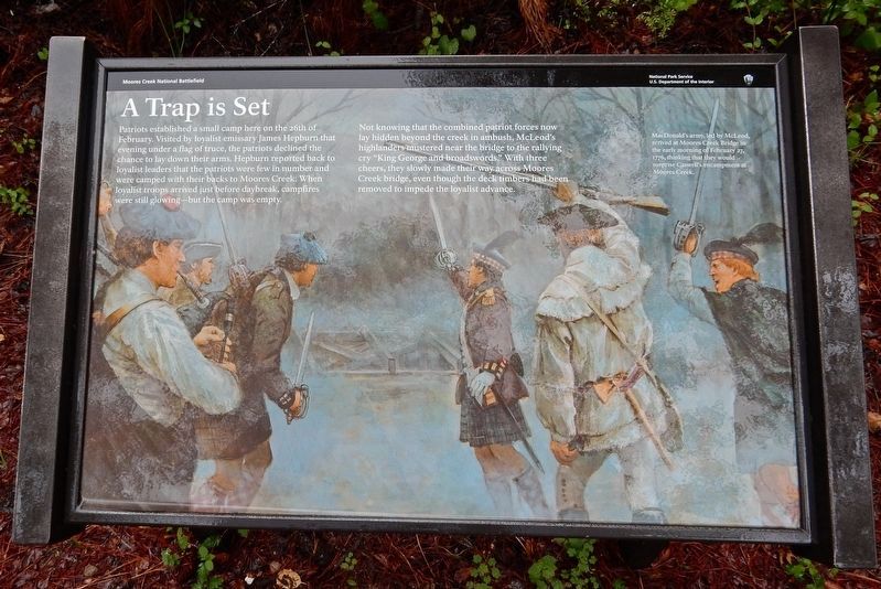
A Trap is Set
— Moores Creek National Battlefield —
Not knowing that the combined patriot forces now lay hidden beyond the creek in ambush, McLead's highlanders mustered near the bridge to the rallying cry “King George and broadswords.” With three cheers, they slowly made their way across Moores Creek bridge, even though the deck timbers had been removed to impede the loyalist advance.
[Caption] MacDonald's army, led by McLeod, arrived at Moores Creek Bridge in the early morning of February 27, 1776, thinking that they would surprise Caswell's encampment at Moores Creek.
Erected by National Park Service.
Topics. This historical marker is listed in these topic lists: Bridges & Viaducts • War, US Revolutionary. A significant historical date for this entry is February 27, 1776.
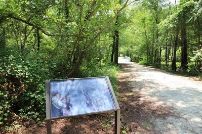
Location. 34° 27.555′ N, 78° 6.847′ W. Marker is near Currie, North Carolina , in Pender County. Marker can be reached from Moores Creek Drive, 0.2 miles west of North Carolina Route 210. Marker is on the Moores Creek National Battlefield History Trail. Touch for map. Marker is in this post office area: Currie NC 28435, United States of America. Touch for directions.
Other nearby markers. At least 8 other markers are within walking distance of this marker. Widow Moores' Bridge (within shouting distance of this marker); Stunning Defeat (about 400 feet away, measured in a direct line); Old Wilmington and Fayetteville Stage Road (about 600 feet away); Decisive Victory (about 600 feet away); Wisely Chosen Ground (about 600 feet away); Aftermath of Moores Creek (about 600 feet away); A Very Bad Swamp ... (about 700 feet away); John Grady Memorial (about 800 feet away). Touch for a list and map of all markers in Currie.
Credits. This page was last revised on June 24, 2023. It was originally submitted on March 19, 2023, by Duane and Tracy Marsteller of Murfreesboro, Tennessee. This page has been viewed 94 times since then and 10 times this year. Photos: 1. submitted on March 19, 2023, by Duane and Tracy Marsteller of Murfreesboro, Tennessee. 2. submitted on June 23, 2023, by Dave W of Co, Colorado.

