Near Currie in Pender County, North Carolina — The American South (South Atlantic)
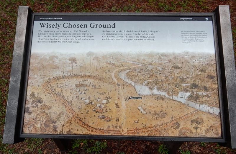
Wisely Chosen Ground
— Moores Creek National Battlefield —
Shallow earthworks blocked the road. Inside, Lillington's 150 minutemen were reinforced by 850 militia under Col. Richard Caswell. Just across the bridge, Caswell established a small encampment to serve as a decoy.
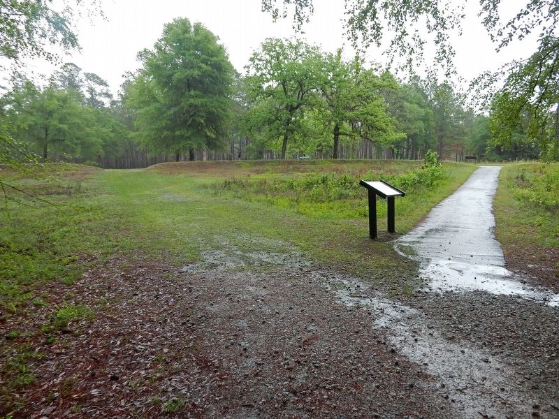
[Caption] On the eve of battle, patriot forces labored to complete shoulder-height earthworks surrounding the road on this side of the creek. Archaeological research indicates the present earthworks lie atop the original fortifications.
Erected by National Park Service.
Topics. This historical marker is listed in this topic list: War, US Revolutionary. A significant historical date for this entry is February 26, 1776.
Location. 34° 27.537′ N, 78° 6.724′ W. Marker is near Currie, North Carolina, in Pender County. Marker can be reached from Moores Creek Drive, 0.2 miles west of North Carolina Route 210. Marker is on the Moores Creek National Battlefield History Trail. Touch for map. Marker is in this post office area: Currie NC 28435, United States of America. Touch for directions.
Other nearby markers. At least 8 other markers are within walking distance of this marker. A Very Bad Swamp ... (a few steps from this marker); Road to the Sea (within shouting distance of this marker); Decisive Victory (within shouting distance of this marker); Old Wilmington and Fayetteville Stage Road (about 300 feet away, measured in a direct line); Stunning Defeat (about 300 feet away); Aftermath of Moores Creek (about 400 feet away); Widow Moores' Bridge (about 500 feet away); Commemorating the Battle (about 500 feet away). Touch for a list and map of all markers in Currie.
Credits. This page was last revised on March 20, 2023. It was originally submitted on March 20, 2023, by Duane and Tracy Marsteller of Murfreesboro, Tennessee. This page has been viewed 55 times since then and 10 times this year. Photos: 1, 2. submitted on March 20, 2023, by Duane and Tracy Marsteller of Murfreesboro, Tennessee.

