Thompson Falls in Sanders County, Montana — The American West (Mountains)
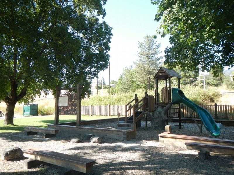
Fort Thompson Playground
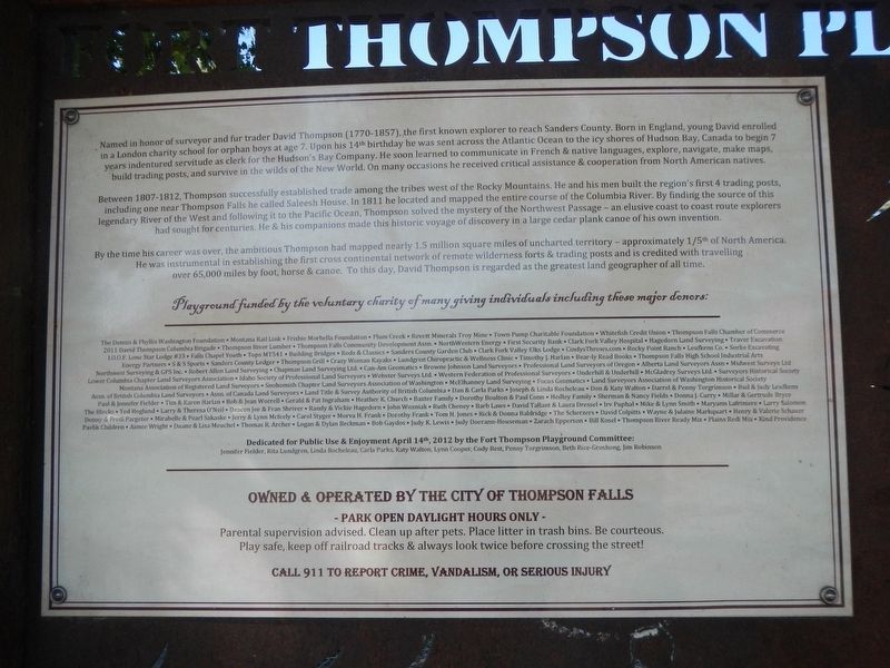
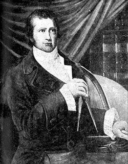
Named in honor of surveyor and fur trader David Thompson (1770-1857), the first known explorer to reach Sanders County. Born in England, young David enrolled in a London charity school for orphan boys at age 7. Upon his 14th birthday he was sent across the Atlantic Ocean to the icy shores of Hudson Bay, Canada to begin 7 years indentured servitude as clerk for the Hudson's Bay Company. He soon learned to communicate in French & native languages, explore, navigate, make maps, build trading posts, and survive in the wilds of the New World. On many occasions he received critical assistance & cooperation from North American natives.
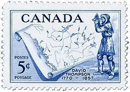
Between 1807-1812, Thompson successfully established trade among the tribes west of the Rocky Mountains. He and his men built the region's first 4 trading posts, including one near Thompson Falls he called Saleesh House. In 1811 he located and mapped the entire course of the Columbia River. By finding the source of this legendary River of the West and following it to the Pacific Ocean, Thompson solved the mystery of the Northwest Passage - an elusive coast to coast route explorers had sought for centuries. He & his companions made this historic voyage of discovery in a large cedar plank canoe of his own invention.
By the time his career was over, the ambitious Thompson had mapped nearly 1.5 million square miles of uncharted territory of approximately 1/5th of North America. He was instrumental in establishing the first cross continental network of remote wilderness forts & trading posts and is credited with traveling over 65,000 miles by foot, horse & canoe. To this day, David Thompson is regarded as the greatest land geographer of all times.
Erected by Numerous donors listed on the marker.
Topics. This historical marker is listed in these topic lists: Exploration • Forts and Castles. A significant historical year for this entry is 1811.
Location. 47° 35.625′ N, 115° 20.606′ W. Marker is in Thompson Falls, Montana, in Sanders County. Marker is on West Main Street (State Highway 200) near Mill Street, on the right when traveling west. Touch for map. Marker is at or near this postal address: 504 West Main Street, Thompson Falls MT 59873, United States of America. Touch for directions.
Other nearby markers. At least 8 other markers are within walking distance of this marker. Weber's Store (within shouting distance of this marker); Ward Hotel (approx. ¼ mile away); Bedard House (approx. ¼ mile away); Ainsworth House (approx. 0.3 miles away); Sanders County Jail (approx. 0.4 miles away); Randolph Hoyt House (approx. half a mile away); 102 Park Street (approx. half a mile away); Thompson Falls Hydroelectric Dam District (approx. 0.7 miles away). Touch for a list and map of all markers in Thompson Falls.
Credits. This page was last revised on May 28, 2023. It was originally submitted on April 2, 2023, by Barry Swackhamer of Brentwood, California. This page has been viewed 64 times since then and 16 times this year. Photos: 1, 2, 3, 4. submitted on April 2, 2023, by Barry Swackhamer of Brentwood, California.


