Waterloo in Monroe County, Illinois — The American Midwest (Great Lakes)
Early Government
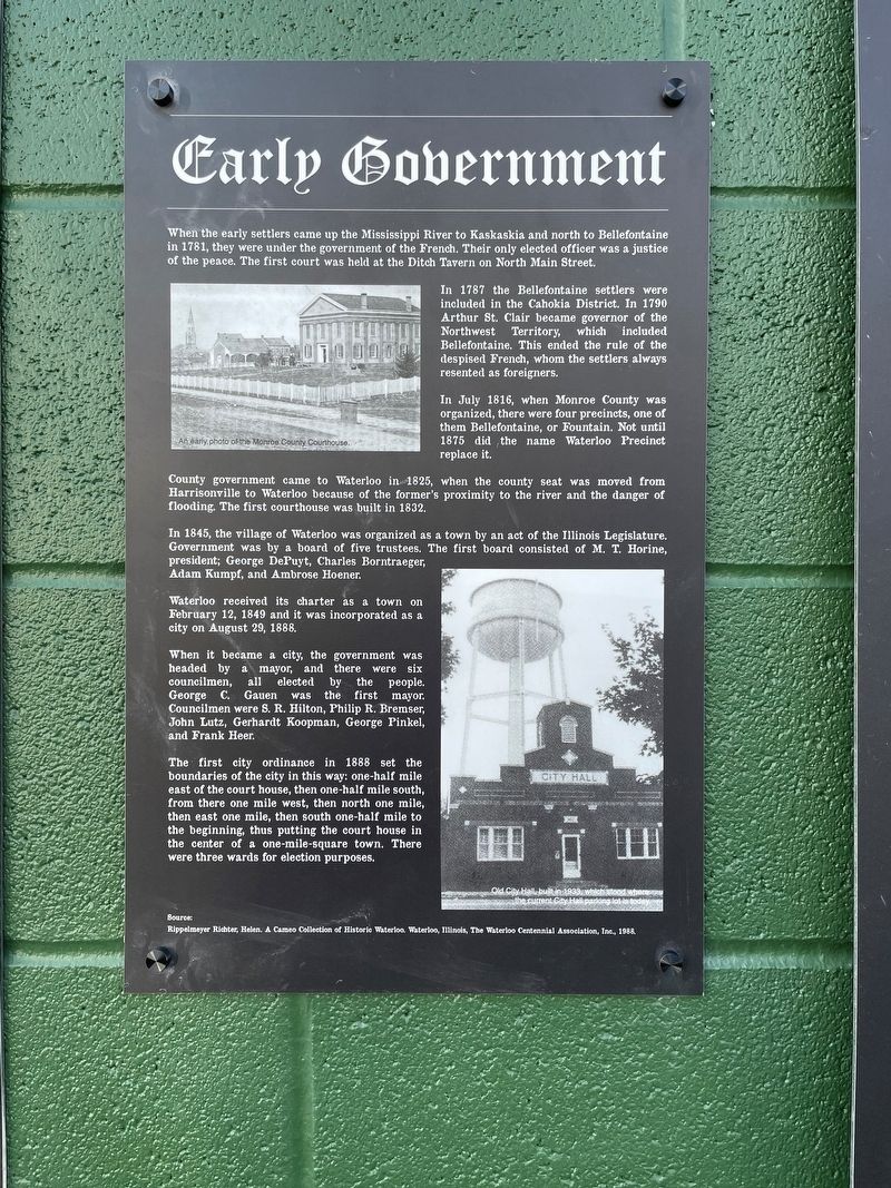
When the early settlers came up the Mississippi River to Kaskaskia and north to Bellefontaine in 1781, they were under the government of the French. Their only elected officer was a justice of the peace. The first court was held at the Ditch Tavern on North Main Street.
In 1787 the Bellefontaine settlers were included in the Cahokia District. In 1790 Arthur St. Clair became governor of the Northwest Territory, which included Bellefontaine. This ended the rule of the despised French, whom the settlers always resented as foreigners.
In July 1816, when Monroe County was organized, there were four precincts, one of them Bellefontaine, or Fountain. Not until 1875 did the name Waterloo Precinct replace it.
County government came to Waterloo in 1825, when the county seat was moved from Harrisonville to Waterloo because of the former's proximity to the river and the danger of flooding. The first courthouse was built in 1832. In 1845, the village of Waterloo was organized as a town by an act of the Illinois Legislature. Government was by a board of five trustees. The first board consisted of M. T. Horine, president; George DePuyt, Charles Borntraeger, Adam Kumpf, and Ambrose Hoener.
Waterloo received its charter as a town on February 12, 1849 and it was incorporated as a city on August 29, 1888.
When it became a city, the government was headed by a mayor, and there were six councilmen, all elected by the people. George C. Gauen was was the first mayor. Councilmen were S. R. Hilton, Philip R. Bremser, John Lutz, Gerhardt Koopman, George Pinkel, and Frank Heer.
The first city ordinance in 1888 set the boundaries of the city in this way: one-half mile east of the court house, then one-half mile south, from there one mile west, then north one mile, then east one mile, then south one-half mile to the beginning, thus putting the court house in the center of a one-mile-square town. There were three wards for election purposes.
Topics. This historical marker is listed in these topic lists: Government & Politics • Settlements & Settlers. A significant historical year for this entry is 1787.
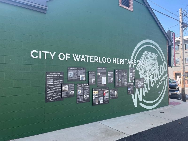
Location. 38° 20.202′ N, 90° 9.021′ W. Marker is in Waterloo, Illinois, in Monroe County. Marker is on North Main Street south of First Street, on the left when traveling south. The marker hangs on the north side of Frederico's Restaurant. Touch for map. Marker is at or near this postal address: 114 N Main St, Waterloo IL 62298, United States of America. Touch for directions.
Other nearby markers. At least 8 other markers are within walking distance of this marker. Mill Street Gas Explosions (here, next to this marker); Early Waterloo Churches (here, next to this marker); The Founding of Waterloo (here, next to this marker); Porta Westfalica (here, next to this marker); The Bellefontaine Spring & House (here, next to this marker); Legend Tells How Waterloo Got Its Name (here, next to this marker); The Peterstown House (here, next to this marker); Early Politicians (here, next to this marker). Touch for a list and map of all markers in Waterloo.
Credits. This page was last revised on April 8, 2023. It was originally submitted on April 4, 2023, by Thomas Smith of Waterloo, Ill. This page has been viewed 63 times since then and 15 times this year. Photos: 1, 2. submitted on April 4, 2023, by Thomas Smith of Waterloo, Ill. • Devry Becker Jones was the editor who published this page.

