Rochester in Oakland County, Michigan — The American Midwest (Great Lakes)
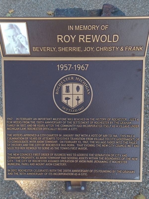
1957-1967
1967 In February an important milestone was reached in the history of Rochester. Just a few weeks from the 150th anniversary of the settlement of Rochester by the Graham family in 1817, and 98 years after the community had incorporated itself as a village under Michigan law, Rochester officially became a city.
The voters approved a city charter in January 1967 with a vote of 689 to 166. This was a culmination of years of attempts to either transition from village to city government, or to consolidate with Avon Township. On February 13, 1967, the village faded into the pages of history and the City of Rochester was born. That evening the new city council met and selected Roy Rewold to serve as the town's first mayor.
The council's first order of business was to address the separation of city and township property, as Avon Township had several assets within the boundaries of the new city. The City of Rochester assumed operation of Avon Park (renaming it Rochester Municipal Park) and Mount Avon Cemetery.
In 2017, Rochester celebrates both the 200th anniversary of its founding by the Grahams and the 50th anniversary of its incorporation as a city.
Roy Rewold
Beverly, Sherrie, Joy, Christy & Frank
Erected 2017.
Topics. This historical marker is listed in this topic list: Government & Politics. A significant historical month for this entry is January 1967.
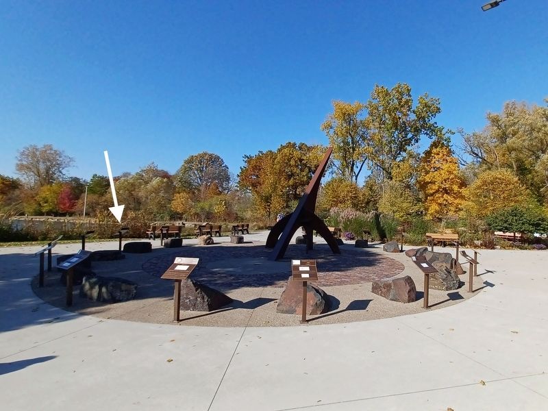
Location. 42° 41.032′ N, 83° 8.216′ W. Marker is in Rochester, Michigan, in Oakland County. Marker can be reached from Sixth Street. Marker is in Rochester Municipal Park at the southeast end near Pine Street — between the parking lot and the pond. Touch for map. Marker is at or near this postal address: 400 Sixth Street, Rochester MI 48307, United States of America. Touch for directions.
Other nearby markers. At least 8 other markers are within walking distance of this marker. 1947-1957 (here, next to this marker); 1967-1977 (here, next to this marker); 1937-1947 (here, next to this marker); 1977-1987 (here, next to this marker); 1987-1997 (here, next to this marker); 1927-1937 (here, next to this marker); 1917-1927 (a few steps from this marker); 1997-2007 (a few steps from this marker). Touch for a list and map of all markers in Rochester.
Credits. This page was last revised on April 6, 2023. It was originally submitted on April 6, 2023, by Joel Seewald of Madison Heights, Michigan. This page has been viewed 51 times since then and 6 times this year. Photos: 1, 2, 3. submitted on April 6, 2023, by Joel Seewald of Madison Heights, Michigan.


