Dupuyer in Pondera County, Montana — The American West (Mountains)
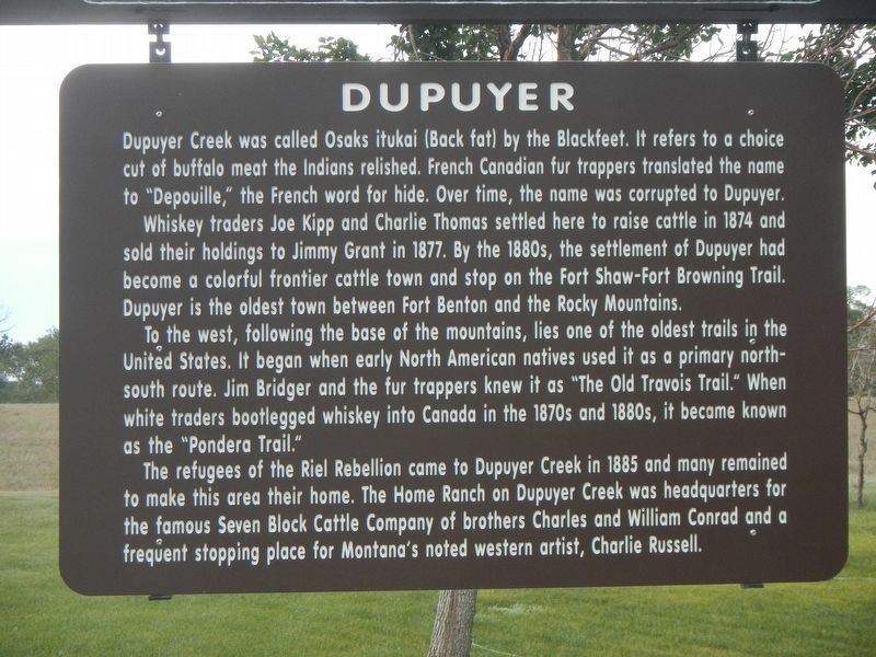
Dupuyer
Whiskey traders Joe Kipp and Charlie Thomas settled here to raise cattle in 1874 and sold their holdings to Jimmy Grant in 1877. By the 1880s, the settlement of Dupuyer had become a colorful frontier cattle town and stop on the Fort Shaw-Fort Browning Trail. Dupuyer is the oldest town between Fort Benton and the Rocky Mountains.
To the west, following the base of the mountains, lies one of the oldest trails in the United States. It began when early North American natives used it as a primary north-south route. Jim Bridger and the fur trappers knew it as "The Old Travois Trail." When white traders bootlegged whiskey into Canada in the 1870s and 1880s, it became known as the "Pondera Trail."
The refugees of the Riel Rebellion came to Dupuyer Creek in 1885 and many remained to make this area their home. The Home Ranch of Dupuyer Creek was headquarters for the famous Seven Block Cattle Company of brothers Charles and William Conrad and a frequent stopping place for Montana's noted western artist, Charlie Russell.
Erected by Montana Department of Transportation.
Topics. This historical marker is listed in this topic list: Settlements & Settlers.
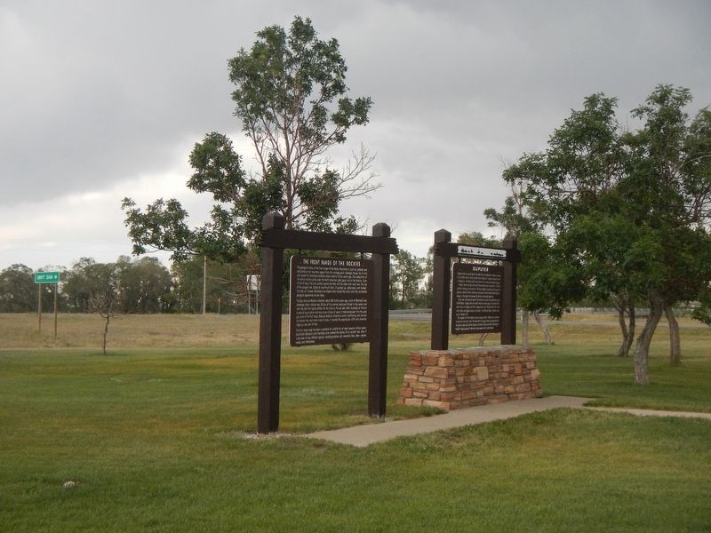
Location. 48° 11.908′ N, 112° 30.414′ W. Marker is in Dupuyer, Montana, in Pondera County. Marker can be reached from the intersection of U.S. 89 and Swift Dam Road, on the left when traveling north. The marker is at the Dupuyer Rest Area, just north of town. Touch for map. Marker is in this post office area: Dupuyer MT 59432, United States of America. Touch for directions.
Other nearby markers. At least 3 other markers are within 9 miles of this marker, measured as the crow flies. The Front Range of the Rockies (here, next to this marker); The 546th Missile Squadron (approx. 8.7 miles away); Captain Meriwether Lewis (approx. 8.7 miles away).
Credits. This page was last revised on April 10, 2023. It was originally submitted on April 10, 2023, by Barry Swackhamer of Brentwood, California. This page has been viewed 140 times since then and 55 times this year. Photos: 1, 2. submitted on April 10, 2023, by Barry Swackhamer of Brentwood, California.

