Bridgeport in Wise County, Texas — The American South (West South Central)
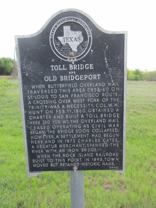
Toll Bridge & Old Bridgeport
Erected 1972 by Texas Historical Commission. (Marker Number 5499.)
Topics. This historical marker is listed in these topic lists: Industry & Commerce • Settlements & Settlers.
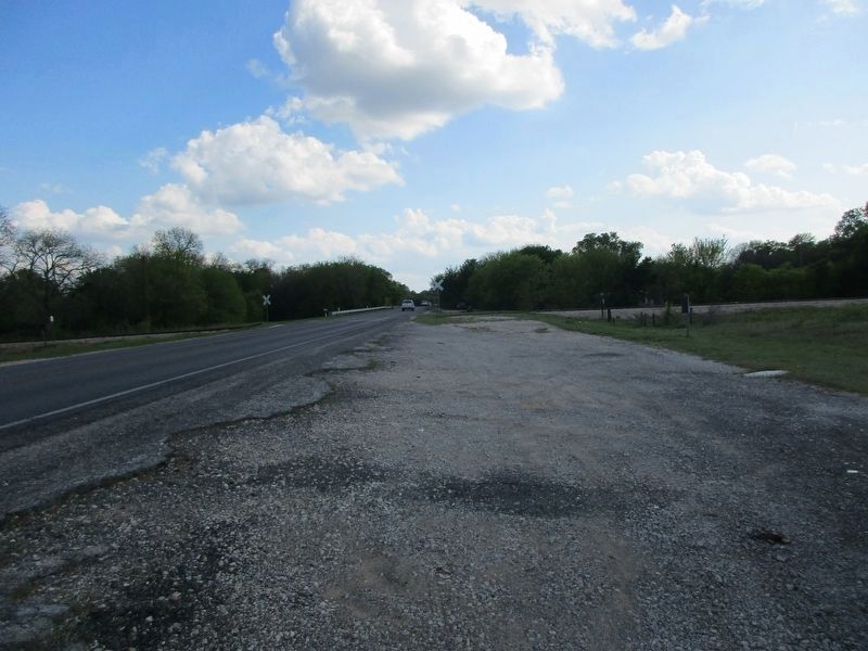
Location. 33° 11.718′ N, 97° 47.059′ W. Marker is in Bridgeport, Texas, in Wise County. Marker is on Farm to Market Road 920, 0.4 miles north of County Road 3424, on the right when traveling south. FM 920 and Trinity River Bridge, just west of Bridgeport. Touch for map. Marker is in this post office area: Bridgeport TX 76426, United States of America. Touch for directions.
Other nearby markers. At least 8 other markers are within 6 miles of this marker, measured as the crow flies. Bridgeport Coal Mines (approx. 1.7 miles away); Bridgeport Lodge No. 587, A.F. & A.M. (approx. 1.9 miles away); First Baptist Church Bridgeport (approx. 2 miles away); First Presbyterian Church of Bridgeport (approx. 2.4 miles away); St. John the Baptizer Catholic Church (approx. 2˝ miles away); Republic of Texas' Santa Fe Expedition in Wise County (approx. 3 miles away); Lake Bridgeport World War II Training Site (approx. 4.7 miles away); George Lafayette Ramsdale (approx. 5.9 miles away). Touch for a list and map of all markers in Bridgeport.
Credits. This page was last revised on April 12, 2023. It was originally submitted on April 11, 2023, by Jeff Leichsenring of Garland, Texas. This page has been viewed 152 times since then and 50 times this year. Photos: 1, 2. submitted on April 11, 2023, by Jeff Leichsenring of Garland, Texas. • James Hulse was the editor who published this page.

