Peoria in Peoria County, Illinois — The American Midwest (Great Lakes)
Pulsifer's Grove/John C. Wynd Residence
Inscription.
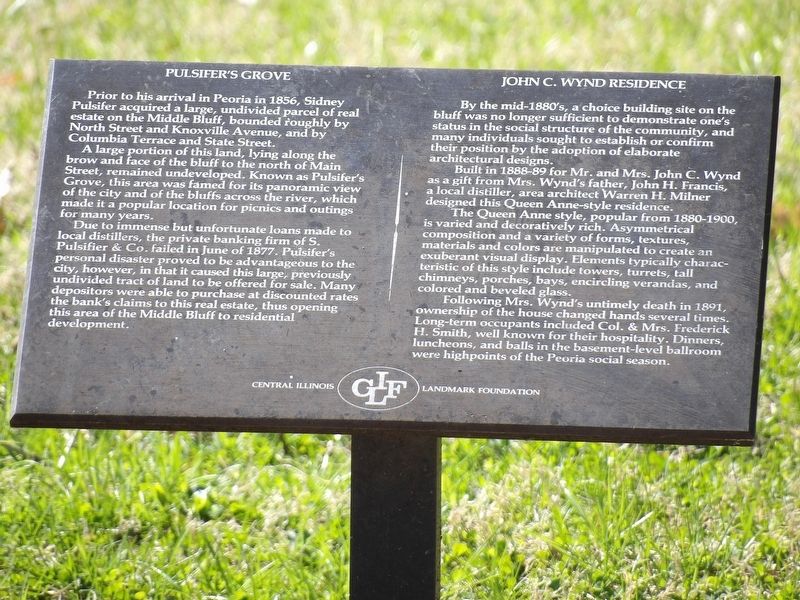
Pulsifer's Grove Prior to his arrival in Peoria in 1856, Sidney
Pulsifer acquired a large, undivided parcel of real
estate on the Middle Bluff, bounded roughly by
North Street and Knoxville Avenue, and by
Columbia Terrace and State Street.
A large portion of this land, lying along the brow and face of the bluff to the north of Main Street, remained undeveloped. Known as Pulsifer's Grove, this area was famed for its panoramic view of the city and of the bluffs across the river, which made it a popular location for picnics and outings for many years.
Due to immense but unfortunate loans made to local distillers, the private banking firm of S. Pulsifier & Co. failed in June of 1877. Pulsifer's personal disaster proved to be advantageous to the city, however, in that it caused this large, previously undivided tract of land to be offered for sale. Many depositors were able to purchase at discounted rates the bank's claims to this real estate, thus opening this area of the Middle Bluff to residential development.
John C. Wynd Residence By the mid-1880's, a choice building site on the bluff was no longer sufficient to demonstrate one's status in the social structure of the community, and many individuals sought to establish or confirm their position by the adoption of elaborate architectural designs.
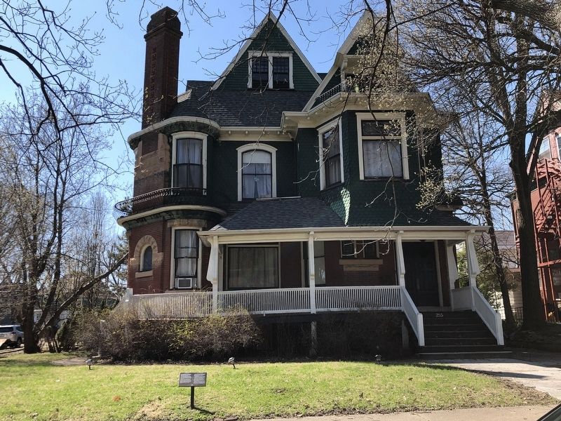
Built in 1888-89 for Mr. and Mrs. John C. Wynd as a gift from Mrs. Wynd's father, John H. Francis, a local distiller, area architect Warren H. Milner designed this Queen Anne-style residence.
The Queen Anne style, popular from 1880-1900, is varied and decoratively rich. Asymmetrical composition and a variety of forms, textures, materials and colors are manipulated to create an exuberant visual display. Elements typically characteristic of this style include towers, turrets, tall chimneys, porches, bays, encircling verandas, and colored and beveled glass.
Following Mrs. Wynd's untimely death in 1891, ownership of the house changed hands several times. Long-term occupants included Col. & Mrs. Frederick H. Smith, well known for their hospitality. Dinners, luncheons, and balls in the basement-level ballroom were highpoints of the Peoria social season.
Erected by Central Illinois Landmark Foundation.
Topics. This historical marker is listed in these topic lists: Architecture • Industry & Commerce • Landmarks. A significant historical year for this entry is 1856.
Location. 40° 42.15′ N, 89° 35.784′ W. Marker is in Peoria, Illinois, in Peoria County. Marker is on Northeast Randolph Avenue south of West Columbia Terrace, on the right when traveling
south. Touch for map. Marker is at or near this postal address: 226 NE Randolph Ave, Peoria IL 61606, United States of America. Touch for directions.
Other nearby markers. At least 8 other markers are within walking distance of this marker. The Gipps Brewing Co./The Ballance-Herschel House (a few steps from this marker); Julia Ballance House/Roanoke-Randolph Historic District (within shouting distance of this marker); Armstrong Homestead (approx. 0.2 miles away); The Peoria Grain Trade / The Charles H. Feltman House (approx. 0.2 miles away); Sentinel on the Bluff (approx. 0.3 miles away); The Easton Fountain (approx. 0.3 miles away); Peoria's Historic Brick Boulevard (approx. 0.4 miles away); Erastus D. Hardin House (approx. 0.4 miles away). Touch for a list and map of all markers in Peoria.
Credits. This page was last revised on April 11, 2023. It was originally submitted on April 11, 2023, by Duane and Tracy Marsteller of Murfreesboro, Tennessee. This page has been viewed 123 times since then and 25 times this year. Photos: 1, 2. submitted on April 11, 2023, by Duane and Tracy Marsteller of Murfreesboro, Tennessee.

