Lone Star in Calhoun County, South Carolina — The American South (South Atlantic)
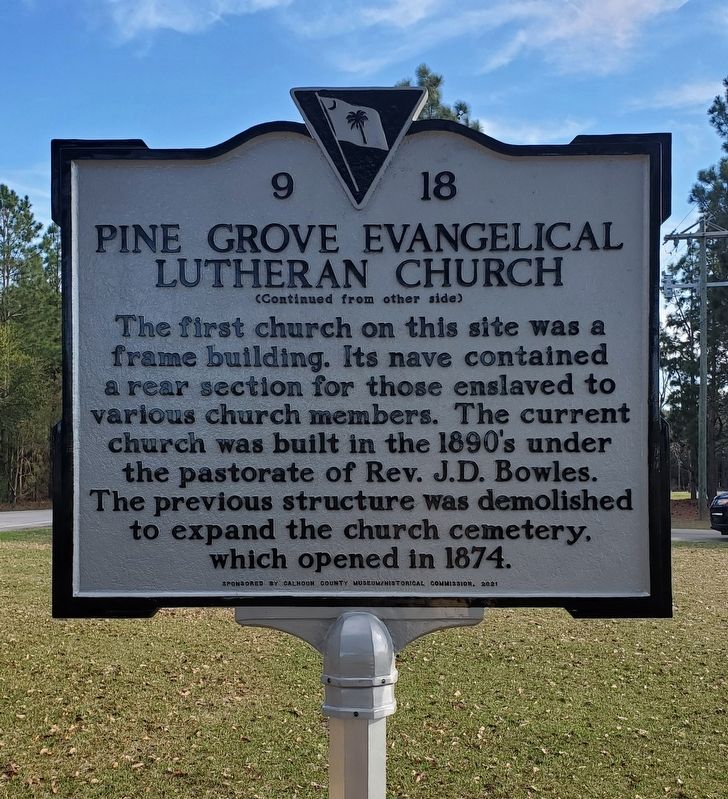
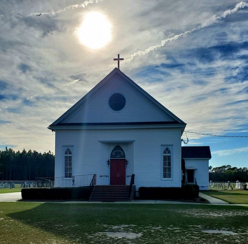
Pine Grove Evangelical Lutheran Church
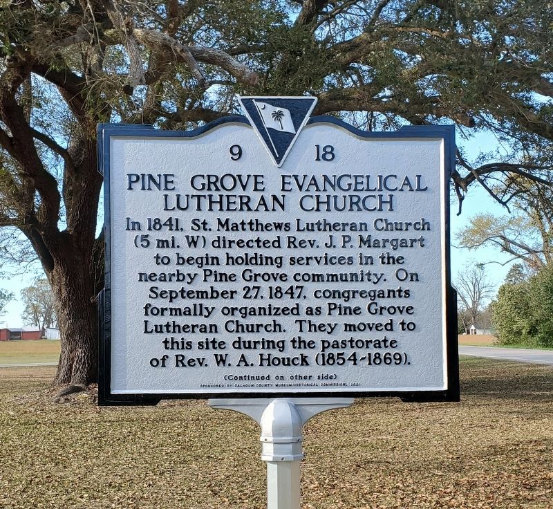
In 1841, St. Matthews Lutheran Church (5 mi. W) directed Rev. J.P. Margart to begin holding services in the nearby Pine Grove community. On September 27, 1847, congregants formally organized as Pine Grove Lutheran Church. They moved to this site during the pastorate of Rev. W. A. Houck (1854-1869).
Erected 2021 by Calhoun County Museum/Historical Commission. (Marker Number 9-18.)
Topics. This historical marker is listed in this topic list: Churches & Religion. A significant historical date for this entry is September 27, 1847.
Location. 33° 38.11′ N, 80° 36.027′ W. Marker is in Lone Star, South Carolina, in Calhoun County. Marker is at the intersection of McCords Ferry Road (South Carolina Route 267) and Dusty Lane, on the right when traveling south on McCords Ferry Road. Touch for map. Marker is at or near this postal address: 2688 McCords Ferry Road, Cameron SC 29030, United States of America. Touch for directions.
Other nearby markers. At least 8 other markers are within 7 miles of this marker, measured as the crow flies. Good Hope Picnic (approx. 2.2 miles away); St. Matthew's Lutheran Church (approx. 4.3 miles away); Mount Pleasant Baptist Church (approx. 5 miles away); Shady Grove Church (approx. 5.4 miles away); Santee~Cemetery (approx. 5˝ miles away); Honoring a Pioneer Woman (approx. 6.1 miles away); First Land Granted in Calhoun County Area (approx. 6.1 miles away); Halfway Swamp: (approx. 6.1 miles away).
Credits. This page was last revised on April 12, 2023. It was originally submitted on April 11, 2023, by Yvonne Vaughn of Elgin, South Carolina. This page has been viewed 96 times since then and 33 times this year. Photos: 1, 2, 3. submitted on April 11, 2023, by Yvonne Vaughn of Elgin, South Carolina. • Bernard Fisher was the editor who published this page.


