Acampo in San Joaquin County, California — The American West (Pacific Coastal)
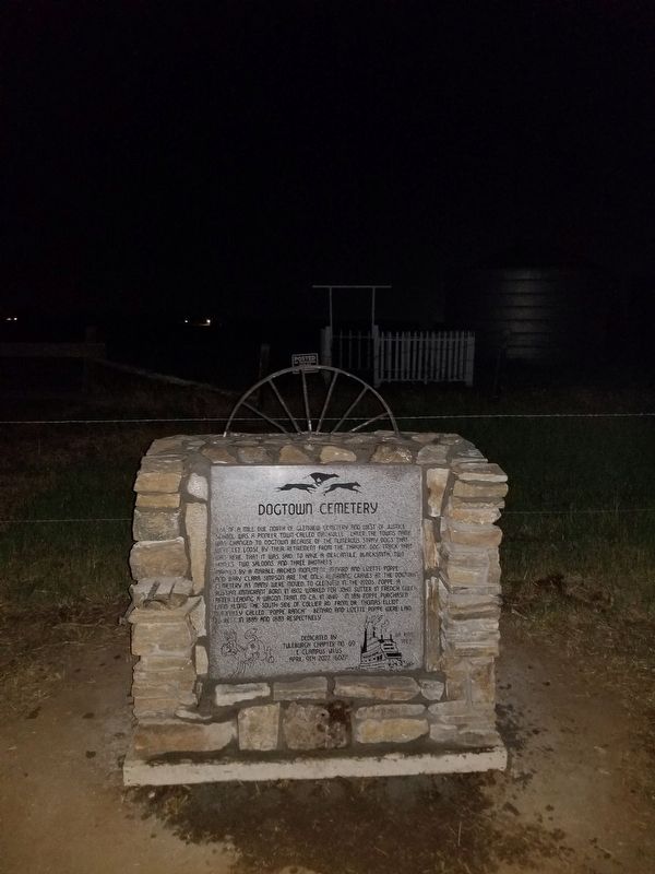
Dogtown Cemetery
Quarter of a mile due north of Glenview Cemetery and west of Justice School was a pioneer town called Mackville. Later the town's name was changed to Dogtown because of the numerous stray dogs that were let loose by their retirement from the thriving dog track that was here, that it was said, to have a mercantile, blacksmith, two hotels, two saloons and three brothels.
Marked by a marble arched monument Bernard and Lizette Poppe and baby Clara Simpson are the only remaining graves at the Dogtown Cemetery as many were moved to Glenview in the 1920s. Poppe, a Russian immigrant born in 1802 worked for John Sutter at French Gulch after leading a wagon train to California in 1849. In 1851 Poppe purchased land along the south side of Collier Road from Dr. Thomas Elliott, normally called "Poppe Ranch". Bernard and Lizzete Poppe were laid to rest 1885 and 1883 respectively.
Erected 2022 by Tuleburgh Chapter No. 69, E Clampus Vitus.
Topics and series. This historical marker is listed in this topic list: Settlements & Settlers. In addition, it is included in the E Clampus Vitus series list. A significant historical year for this entry is 1849.
Location. 38° 12.865′ N, 121° 5.805′ W. Marker is in Acampo, California, in San Joaquin County. Marker is on Collier Road East west of Mackville Road, on the left when traveling west. Touch for map. Marker is at or near this postal address: 18019 Collier Rd E, Acampo CA 95220, United States of America. Touch for directions.
Other nearby markers. At least 8 other markers are within 2 miles of this marker, measured as the crow flies. Mackville Road Bridge (approx. 0.6 miles away); Lone Star Mill (approx. ¾ mile away); Glenview Cemetery (approx. 0.9 miles away); James B. Anderson (approx. 0.9 miles away); David S. Terry (approx. 1.7 miles away); Athearn School Bell (approx. 1.7 miles away); Clements Elementary School (approx. 1.7 miles away); History of Clements Buckaroos (approx. 1.7 miles away).
Credits. This page was last revised on April 20, 2023. It was originally submitted on April 12, 2023, by Brock Wiley of Modesto, California. This page has been viewed 117 times since then and 55 times this year. Photo 1. submitted on April 12, 2023, by Brock Wiley of Modesto, California. • J. Makali Bruton was the editor who published this page.
Editor’s want-list for this marker. A clear, close-up photo of the marker. • A daylight photo of the marker and the surrounding area together in context. • Can you help?
