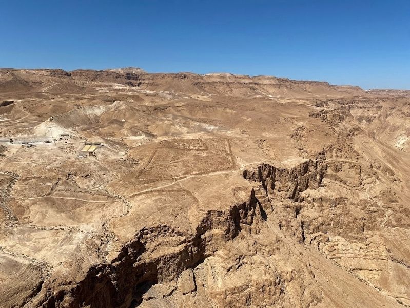
Metsada in Be'er Sheva, Southern District, Israel — West Asia (the Levant in the Middle East)
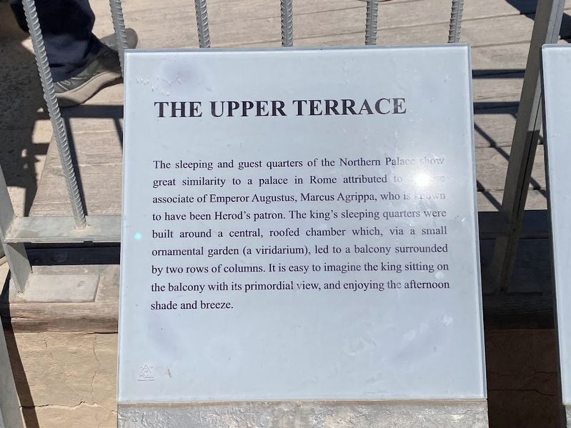
The Upper Terrace
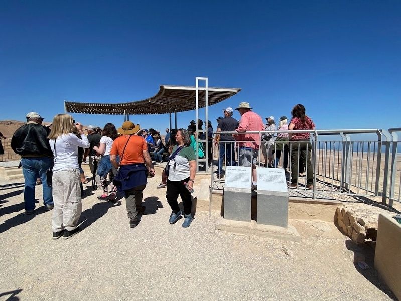
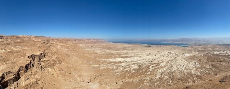
The sleeping and guest quarters of the Northern Palace show great similarity to a palace in Rome attributed to a close associate of Emperor Augustus, Marcus Agrippa, who is known to have been Herod's patron. The king's sleeping quarters were built around a central, roofed chamber which, via a small ornamental garden (a viridarium), led to a balcony surrounded by two rows of columns. It is easy to imagine the king sitting on the balcony with its primordial view, and enjoying the afternoon shade and breeze.
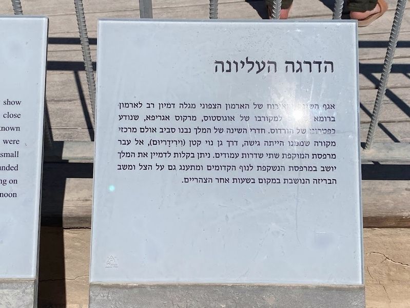
(Hebrew text not transcribed)
Topics. This historical marker is listed in this topic list: Architecture.
Location. 31° 19.079′ N, 35° 21.242′ E. Marker is in Metsada, Southern District, in Be'er Sheva. Touch for map. Touch for directions.
Other nearby markers. At least 8 other markers are within walking distance of this marker. The Northern Palace (a few steps from this marker); The Discovery Location of the "Lots" (within shouting distance of this marker); Bathing in Roman Style (within shouting distance of this marker); The Rebel's Community Life (within shouting distance of this marker); The Water Gate (within shouting distance of this marker); How can one survive here? (within shouting distance of this marker); Life in a fortified palace (about 90 meters away, measured in a direct line); The Synagogue (about 90 meters away). Touch for a list and map of all markers in Metsada.
Credits. This page was last revised on April 19, 2023. It was originally submitted on April 12, 2023, by Darren Jefferson Clay of Duluth, Georgia. This page has been viewed 37 times since then and 2 times this year. Photos: 1, 2, 3, 4, 5. submitted on April 12, 2023, by Darren Jefferson Clay of Duluth, Georgia. • Andrew Ruppenstein was the editor who published this page.
