Allen in Collin County, Texas — The American South (West South Central)
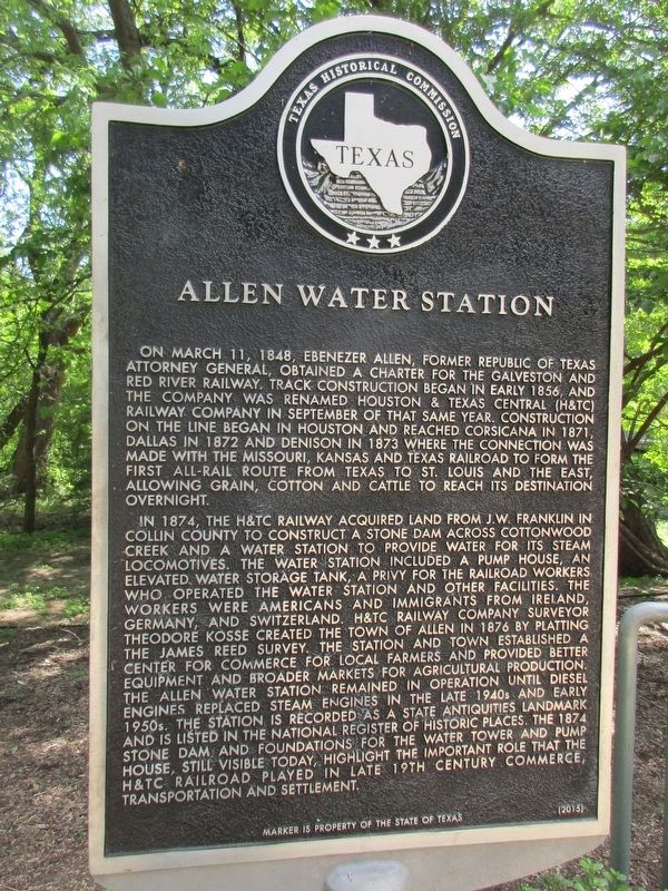
Allen Water Station
Photographed by Jeff Leichsenring, April 11, 2023
1. Allen Water Station Marker
In 1874, the H&TC Railway acquired land from J.W. Franklin in Collin County to construct a stone dam across Cottonwood Creek and a water station to provide water for its steam locomotives. The water station included a pump house, an elevated water storage tank, a privy for the railroad workers who operated the water station and other facilities. The workers were Americans and immigrants from Ireland, Germany, and Switzerland. H&TC Railway Company Surveyor Theodore Kosse created the town of Allen in 1876 by platting the
this page online
Erected 2015 by Texas Historical Commission. (Marker Number 18112.)
Topics. This historical marker is listed in this topic list: Railroads & Streetcars.
Location. 33° 7.018′ N, 96° 39.896′ W. Marker is in Allen, Texas, in Collin County. It can be reached from East Exchange Parkway. The Old Stone Dam is located in the upper reach of Cottonwood Creek about 1,000 feet North of Exchange Parkway. Touch for map. Marker is in this post office area: Allen TX 75002, United
Photographed by Jeff Leichsenring, April 11, 2023
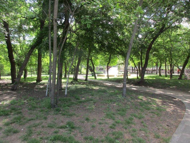
2. Allen Water Station Marker

Regionally, this marker is in the Prairies & Lakes Region and in the Dallas-Fort Worth Metropolitan Area. Globally, it is in North America, a Gulf of Mexico state, the Western Hemisphere, the Western World, and the Anglosphere. Historically, it finds itself in what was once New Spain, the Republic of Texas, one of the Confederate States of America, and the Antebellum South.
Other nearby markers. At least 8 other markers are within walking distance of this marker: Stone Dam at Allen Station (within shouting distance of this marker); Allen (approx. ¼ mile away); Allen Colored School (approx. 0.8 miles away); Greater Moore’s Chapel (approx. 0.8 miles away); Lynge House (approx. 0.8 miles away); Bolin House (approx. 0.8 miles away); Westel or I-House (approx. 0.8 miles away); Allen Christian Church (approx. 0.8 miles away). Touch for a list and map of all markers in Allen.
Photographed by Jeff Leichsenring, April 11, 2023
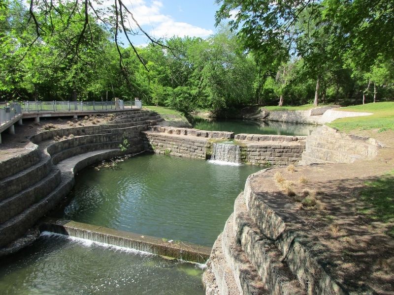
3. 1874 Stone Dam
Photographed by Jeff Leichsenring, April 11, 2023
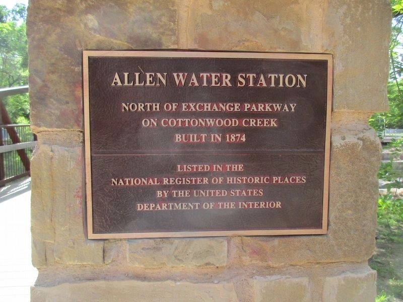
4. Allen Water Station National Register of Historic Places Marker
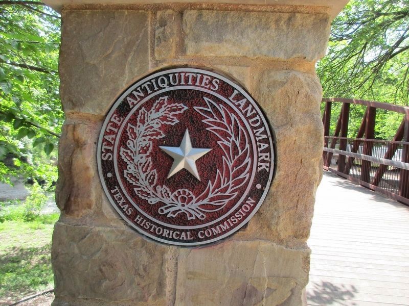
Photographed by Jeff Leichsenring, April 11, 2023
5. State Antiquities Landmark medallion
Credits. This page was last revised on May 4, 2024. It was originally submitted on April 13, 2023, by Jeff Leichsenring of Garland, Texas. This page has been viewed 580 times since then and 79 times this year. Photos: 1, 2, 3, 4, 5. submitted on April 13, 2023, by Jeff Leichsenring of Garland, Texas. • James Hulse was the editor who published this page.
