Near Schuylerville in Saratoga County, New York — The American Northeast (Mid-Atlantic)
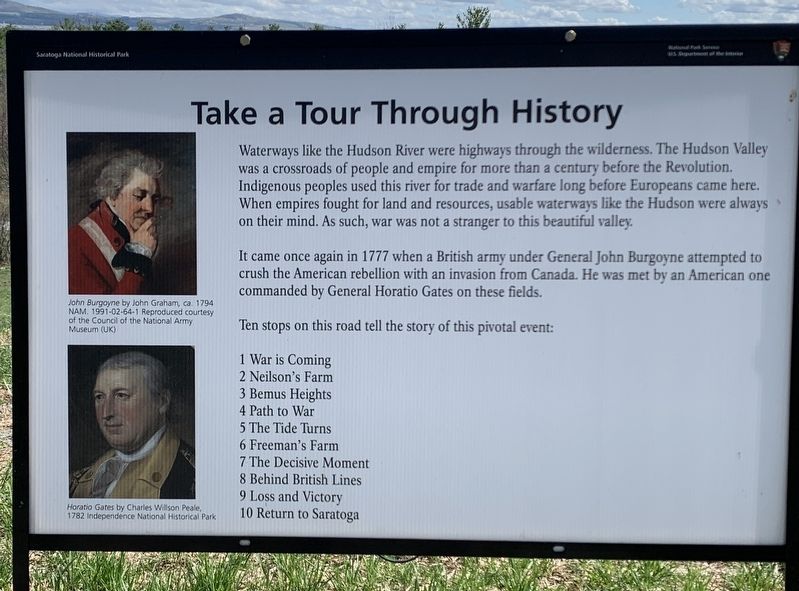
Take A Tour Through History
Waterways like the Hudson River were highways through the wilderness. The Hudson Valley was a crossroads of people and empire for more than a century before the Revolution. Indigenous peoples used this river for trade and warfare long before Europeans came here. When empires fought for land and resources, usable waterways like the Hudson were always on their mind. As such, war was not a stranger to this beautiful valley.
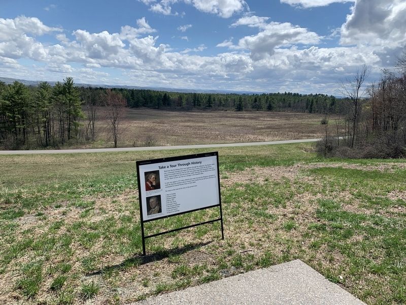
It came once again in 1777 when a British army under General John Burgoyne attempted to crush the American rebellion with an invasion from Canada. He was met by an American one commanded by General Horatio Gates on these fields.
Ten stops on this road tell the story of this pivotal event:
1 War is Coming
2 Neilson's Farm
3 Bemus Heights
4 Path to War
5 The Tide Turns
6 Freeman's Farm
7 The Decisive Moment
8 Behind British Lines
9 Loss and Victory
10 Return to Saratoga
(illustration captions:)
John Burgoyne by John Graham, ca. 1794 NAM. 1991-02-64-1 Reproduced courtesy of the Council of the National Army Museum (UK)
Horatio Gates by Charles Willson Peale, 1782 Independence National Historical Park
Erected by National Park Service.
Topics. This historical marker is listed in this topic list: War, US Revolutionary. A significant historical year for this entry is 1777.
Location. 43° 0.348′ N, 73° 38.806′ W. Marker is near Schuylerville, New York, in Saratoga County. Marker can be reached from Battlefield Tour Road. Marker is several yards from parking area at tour stop #1. Touch for map. Marker is at or near this postal address: Battlefield Tour Rd, Stillwater NY 12170, United States of America. Touch for directions.
Other nearby markers. At least 8 other markers are within walking distance of this marker. Prelude to History (a few steps from this marker); Here Frazer Fell (approx. 0.3 miles away); The British Withdraw (approx. 0.3 miles away); The Second Battle Begins (approx. 0.3 miles away); Brig. Gen. Abraham Ten Broeck (approx. 0.3 miles away); General Fraser Was Struck (approx. 0.3 miles away); Colonel Joseph Cilly (approx. 0.3 miles away); The Battle Begins at Barber’s Wheat Field (approx. 0.3 miles away).
Credits. This page was last revised on April 20, 2023. It was originally submitted on April 16, 2023, by Steve Stoessel of Niskayuna, New York. This page has been viewed 74 times since then and 28 times this year. Photos: 1, 2. submitted on April 16, 2023, by Steve Stoessel of Niskayuna, New York. • Michael Herrick was the editor who published this page.

