Three Rivers in Live Oak County, Texas — The American South (West South Central)
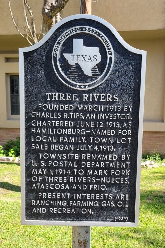
Three Rivers
Erected 1967 by State Historical Survey Committee. (Marker Number 5481.)
Topics. This historical marker is listed in these topic lists: Industry & Commerce • Settlements & Settlers. A significant historical month for this entry is March 1913.
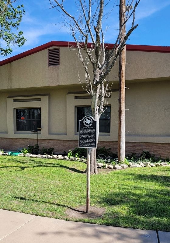
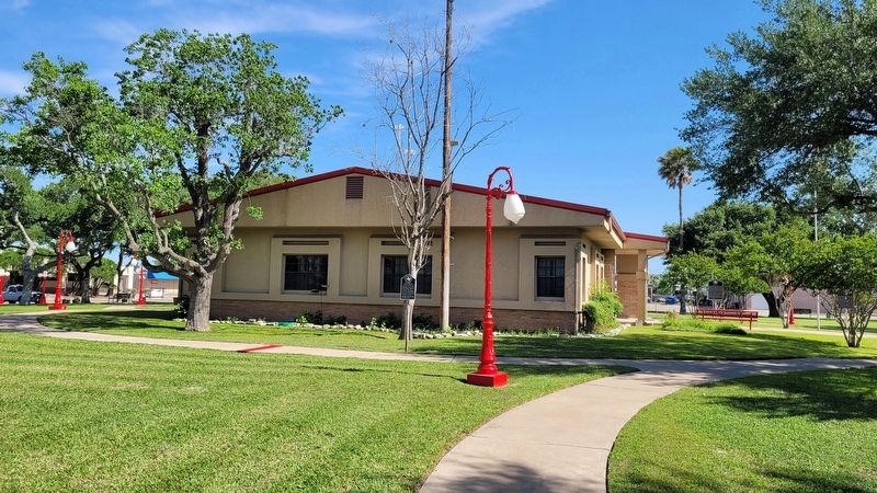
Location. 28° 27.668′ N, 98° 10.975′ W. Marker is in Three Rivers, Texas, in Live Oak County. Marker is at the intersection of West Thornton Street and South Harborth Avenue, on the right when traveling west on West Thornton Street. The marker is located on the south side of the Three Rivers City Hall Building. Touch for map. Marker is in this post office area: Three Rivers TX 78071, United States of America. Touch for directions.
Other nearby markers. At least 8 other markers are within 4 miles of this marker, measured as the crow flies. Felix Longoria (a few steps from this marker); Jessy Franklin Gray (within shouting distance of this marker); Rialto Theater (within shouting distance of this marker); First State Bank Building (within shouting distance of this marker); Site of Three Rivers Glass Factory (approx. 0.2 miles away); James and Sara Cunningham House (approx. 0.3 miles away); Early Schools in Live Oak County (approx. half a mile away); Loma Sandia Prehistoric Cemetery (approx. 3.9 miles away). Touch for a list and map of all markers in Three Rivers.
Also see . . . Three Rivers, TX. Texas State Historical Association (TSHA) (Submitted on April 18, 2023, by James Hulse of Medina, Texas.)
Credits. This page was last revised on April 18, 2023. It was originally submitted on April 17, 2023, by James Hulse of Medina, Texas. This page has been viewed 79 times since then and 22 times this year. Photos: 1, 2, 3. submitted on April 18, 2023, by James Hulse of Medina, Texas.


