
Gibson in Hamilton, Ontario — Central Canada (North America)
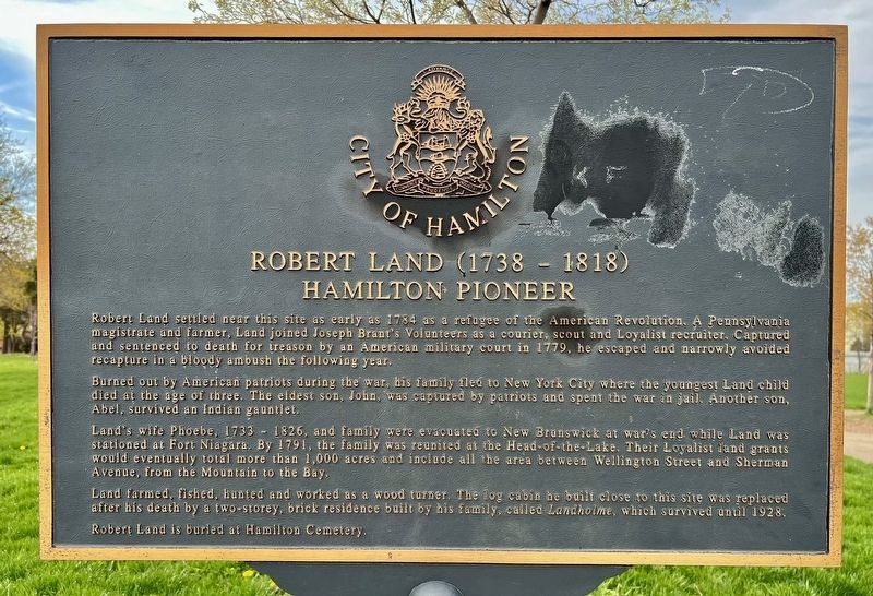
Robert Land (1738-1818)
Hamilton Pioneer
Photographed by Tim Boyd
1. Robert Land (1738-1818) Marker
Robert Land settled near this site as early as 1784 as a refugee of the American Revolution. A Pennsylvania magistrate and farmer, Land joined Joseph Brant's Volunteers as a courier, scout and Loyalist recruiter. Captured and sentenced to death for treason by an American military court in 1779, he escaped and narrowly avoided recapture in a bloody ambush the following year.
Burned out by American patriots during the war, his family fled to New York City where the youngest Land child died at the age of three. The eldest son, John, was captured by patriots and spent the war in jail. Another son, Abel, survived an Indian gauntlet.
Land's wife Phoebe, 1733-1826, and family were evacuated to New Brunswick at war's end while Land was stationed at Fort Niagara. By 1791, the family was reunited at the Head-of-the-Lake. Their Loyalist land grants would eventually total more than 1,000 acres and include all the area between Wellington Street and Sherman Avenue, from the Mountain to the Bay.
Land farmed, fished, hunted and worked as a wood turner. The log cabin he built close to this site was replaced after his death by a
this page online
Robert Land is buried at Hamilton Cemetery.
Erected by City of Hamilton.
Topics. This historical marker is listed in these topic lists: Settlements & Settlers • War, US Revolutionary. A significant historical year for this entry is 1784.
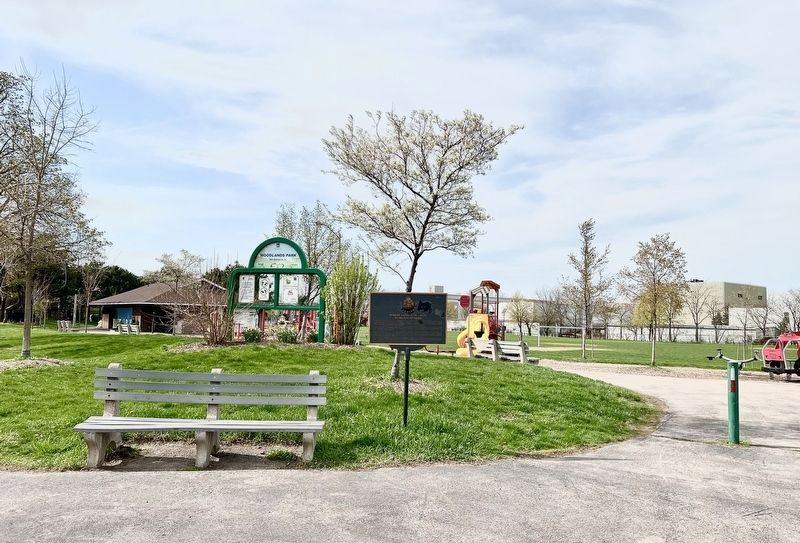
Location. 43° 15.521′ N, 79° 50.617′ W. Marker is in Hamilton, Ontario. It is in Gibson. It is at the intersection of Barton Street East and Sanford Ave. North, on the right when traveling west on Barton Street East. The marker is in Woodland Park. Touch for map. Marker is in this post office area: Hamilton ON L8L 2Y8, Canada. Touch for directions.

Regionally, this marker is on Ontario’s Golden Horseshoe, in the Hamilton-Halton-Brant Area, and specifically in the Toronto Metropolitan Area. It is also in Central Canada. Globally, it is in North America, on the Great Lakes, in the Western Hemisphere, in the Western World, and in the Anglosphere. Historically, it finds itself in what was once a British colony, the Viceroyalty of New France, the Haudenosaunee (Iroquois) Confederacy,
Photographed by Tim Boyd, April 20, 2023
2. Robert Land (1738-1818) Marker
Other nearby markers. At least 8 other markers are within walking distance of this marker: Woodlands Park (a few steps from this marker); 281 Barton Street East (approx. 0.8 kilometers away); West Avenue School (approx. one kilometer away); The Place of Firsts (approx. 1.4 kilometers away); The St. Clair Avenue and St. Clair Boulevard Heritage Conservation District (approx. 1.4 kilometers away); 320 King Street East (approx. 1.4 kilometers away); James Gilmour “Jimmy” Thompson (approx. 1.5 kilometers away); Canada’s First Birth Control Clinic (approx. 1.6 kilometers away). Touch for a list and map of all markers in Hamilton.
Also see . . . The Story of the Land Family. A 1958 article on the Land family from the Journal ”Wentworth Bygones”
The enquirer into the beginnings of settlement at the Head of Lake Ontario(Submitted on April 20, 2023, by Tim Boyd of Hamilton, Ontario.)
quickly finds that the first four Britishers to settle on the south shore
of the Bay, now Hamilton Harbour, on land now part of the City of Hamilton,
were: Richard Beasley, Robert Land, Charles Depew and George Stuart. That
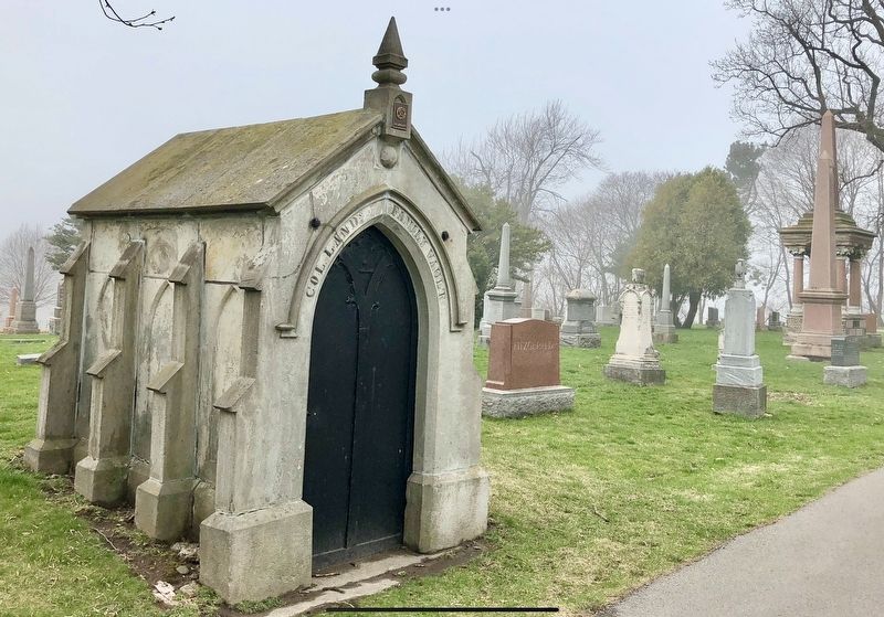
was within a few years, more or less, of 1782. In point ofinterest thePhotographed by Tim Boyd, April 11, 20213. The Land Family vault in the Hamilton Cemetery.
romantic story of Robert Land and his family is outstanding, and the purpose
of this review is to relate briefly some of the main traditions and
associations that concern them.
Credits. This page was last revised on April 22, 2023. It was originally submitted on April 20, 2023, by Tim Boyd of Hamilton, Ontario. This page has been viewed 719 times since then and 91 times this year. Photos: 1, 2, 3. submitted on April 20, 2023, by Tim Boyd of Hamilton, Ontario. • Andrew Ruppenstein was the editor who published this page.
