Brownsville in Cameron County, Texas — The American South (West South Central)
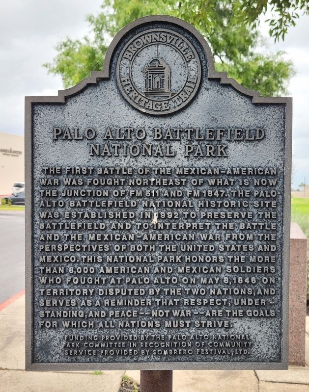
Palo Alto Battlefield National Park
Erected by Brownsville Heritage Trail.
Topics. This historical marker is listed in this topic list: War, Mexican-American. A significant historical date for this entry is May 8, 1846.
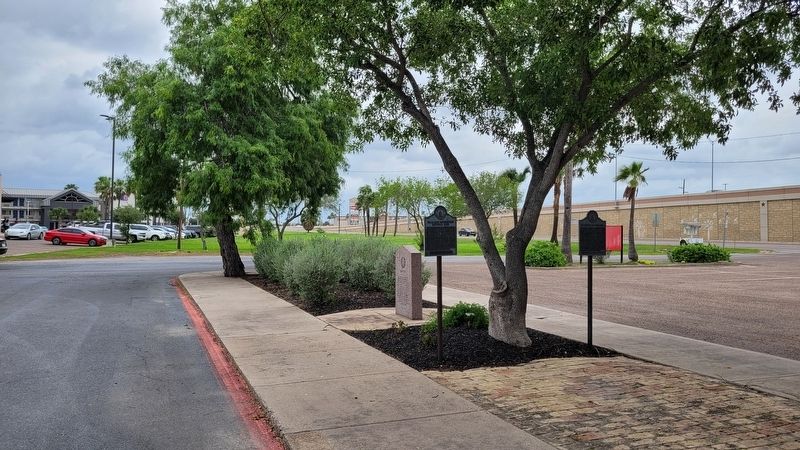
Location. 25° 57.008′ N, 97° 30.353′ W. Marker is in Brownsville, Texas, in Cameron County. Marker is at the intersection of East Ruben M Torres Boulevard and Frontage Street, on the right when traveling west on East Ruben M Torres Boulevard. The marker is located on the north side of the Brownsville Convention & Visitors Bureau. Touch for map. Marker is at or near this postal address: 650 E Ruben M Torres Blvd, Brownsville TX 78520, United States of America. Touch for directions.
Other nearby markers. At least 8 other markers are within 2 miles of this marker, measured as the crow flies. The Battle of Palo Alto (here, next to this marker); Brownsville C.S.A. (here, next to this marker); Cameron County (a few steps from this marker); Monumental History (approx. 1.4 miles away); The Resaca de la Palma Battlesite (approx. 1.4 miles away); Border War (approx. 1.4 miles away); Resaca de la Palma (approx. 1.4 miles away); The Battle of Resaca de la Palma (approx. 1.4 miles away). Touch for a list and map of all markers in Brownsville.
Also see . . . The First Clash. National Park Service - U.S. Department of the Interior
On May 8, 1846, United States and Mexican troops clashed on the prairie of Palo Alto. The battle was the first in a two-year long war that changed the map of North America. Palo Alto Battlefield National Historical Park preserves the site of this notable battle and provides an understanding of the causes, events, and consequences of the U.S.-Mexican War.(Submitted on April 23, 2023, by James Hulse of Medina, Texas.)
Credits. This page was last revised on April 23, 2023. It was originally submitted on April 22, 2023, by James Hulse of Medina, Texas. This page has been viewed 92 times since then and 22 times this year. Photos: 1, 2. submitted on April 23, 2023, by James Hulse of Medina, Texas.

