Brownsville in Cameron County, Texas — The American South (West South Central)
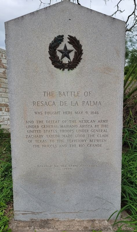
The Battle of Resaca de la Palma
And the defeat of the Mexican Army
under General Mariano Arista by the
United States troops under General
Zachary Taylor. Made good the claim
of Texas to the territory between
the Nueces and the Rio Grande
Erected 1936 by State of Texas. (Marker Number 328.)
Topics and series. This historical marker is listed in this topic list: War, Mexican-American. In addition, it is included in the Texas 1936 Centennial Markers and Monuments series list. A significant historical date for this entry is May 9, 1846.
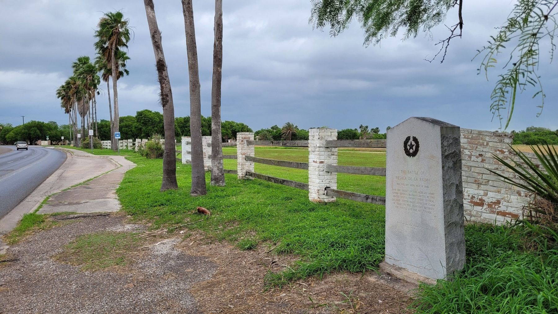
Location. 25° 56.267′ N, 97° 29.278′ W. Marker is in Brownsville, Texas, in Cameron County. Marker is on Paredes Line Road, 0.1 miles south of Palo Verde Drive. The marker is located along the outside fence to the battleground near the road. Touch for map. Marker is at or near this postal address: 1024 Paredes Line Road, Brownsville TX 78521, United States of America. Touch for directions.
Other nearby markers. At least 8 other markers are within walking distance of this marker. Take the Cannon! (within shouting distance of this marker); Into the Mexican Camp (about 300 feet away, measured in a direct line); Hand-to-Hand (about 400 feet away); Border War (about 500 feet away); Resaca de la Palma (about 500 feet away); The Resaca de la Palma Battlesite (about 700 feet away); These Brave Men (about 700 feet away); Monumental History (about 700 feet away). Touch for a list and map of all markers in Brownsville.
Also see . . . Resaca de la Palma Battlefield. National Park Service - U.S. Department of the Interior
The Clash Continues - Resaca de la Palma, also known as Resaca de Guerrero, is an old, dry river channel of the Rio Grande. It is one of many long, water-filled ravines left behind by the shifting course of the winding river. The old pathway was lined with dense brush and its bed was dotted with pools of water. The Mexican Army hoped these natural features would limit any attack against troops positioned there.(Submitted on April 23, 2023, by James Hulse of Medina, Texas.)
Following his retreat from Palo Alto on May 9th, General Mariano Arista occupied this site in force. He blocked the Point Isabel-Matamoros road crossing with artillery and placed infantry troops along banks of the resaca. The heavy brush offered his troops abundant protective cover. Cavalry troops were kept in the rear as a reserve force. Mexican troops hoped to force an infantry battle in the dense chaparral instead of the open-field artillery duel that had devastated them at Palo Alto.
Credits. This page was last revised on April 23, 2023. It was originally submitted on April 23, 2023, by James Hulse of Medina, Texas. This page has been viewed 71 times since then and 17 times this year. Photos: 1, 2. submitted on April 23, 2023, by James Hulse of Medina, Texas.

