Batesville in Independence County, Arkansas — The American South (West South Central)
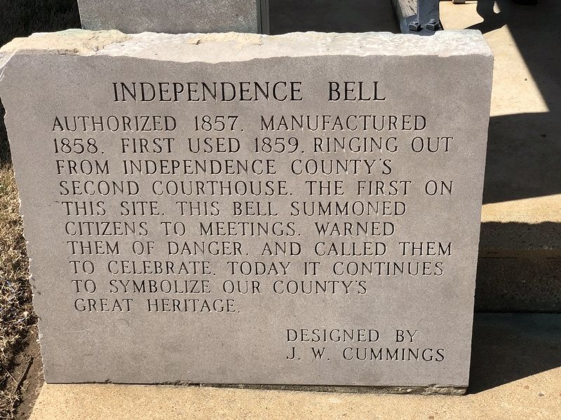
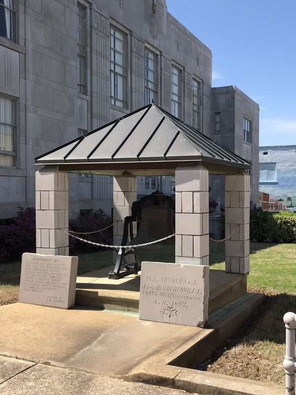
Independence Bell
Designed by J. W. Cummings
Topics and series. This historical marker is listed in this topic list: Communications. In addition, it is included in the Historic Bells series list. A significant historical year for this entry is 1858.
Location. 35° 46.227′ N, 91° 39.19′ W. Marker is in Batesville, Arkansas, in Independence County. Marker is at the intersection of Broad Street and East Main Street, on the right when traveling south on Broad Street. Touch for map. Marker is at or near this postal address: 110 Broad St, Batesville AR 72501, United States of America. Touch for directions.
Other nearby markers. At least 8 other markers are within walking distance of this marker. Batesville Confederate Monument (here, next to this marker); Independence County Courthouse (a few steps from this marker); Independence County First County Court House (within shouting distance of this marker); First Arkansas Methodist Conference (within shouting distance of this marker); Wade Building (within shouting distance of this marker); Hail Building (within shouting distance of this marker); Barnett Building (about 300 feet away, measured in a direct line); Case Building (about 300 feet away). Touch for a list and map of all markers in Batesville.
Credits. This page was last revised on April 25, 2023. It was originally submitted on April 25, 2023, by Duane and Tracy Marsteller of Murfreesboro, Tennessee. This page has been viewed 91 times since then and 21 times this year. Photos: 1, 2, 3. submitted on April 25, 2023, by Duane and Tracy Marsteller of Murfreesboro, Tennessee.


