Brownsville in Cameron County, Texas — The American South (West South Central)
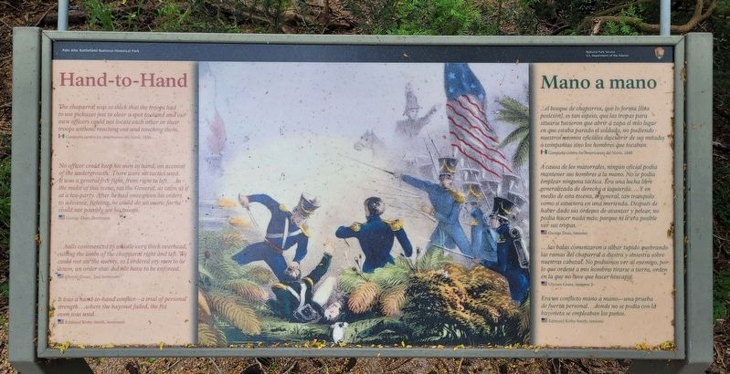
Hand-to-Hand
Resaca de la Palma Battlefield
Mexico - Campaña contra los Americanos del Norte, 1846.
No officer could keep his men in hand, on account of the undergrowth. There were no tactics used. It was a general free fight, from right to left....In the midst of this scene, sat the General, as calm as if at a tea-party. After he had once given his orders to advance, fighting, he could do no more; for he could not possibly see his troops.
USA - George Deas, lieutenant
...balls commenced to whistle very thick overhead, cuting the limbs of the chapparal right and left. We could not see the enemy, so I ordered my men to lie down, an order that did not have to be enforced.
USA - Ulysses Grant,. 2nd lieutenant
It was a hand-to-hand conflict - a trial of personal strength...where the bayonet failed, the fist even was used.
USA - Edmund Kirby Smith, lieutenant
Spanish:
...el bosque de chaparros, que lo forma [esta posición], es tan espeso, que las tropas para situarse tuvieron que abrir á zapa el solo lugar en que estaba parado el soldado, no pudiendo nuestros mismos oficiales descubrir de sus mitades ó compañías sino los hombres que tocaban.
Mexico - Campaña contra los Americanos del Norte, 1846
A causa de los matorrales, ningún oficial podia mantener sus hombres a la mano. No se podía emplear ninguna táctica. Era una lucha libre generalizada de derecha a izquierda....Y en medio de esta escena, el general, tan tranquilo como si estuviera en una merienda. Después de haber dado sus órdenes de avanzar y pelear, no podía hacer nada más; porque ni le era posible ver sus tropas.
USA - George Deas, teniente
.. las balas comenzaron a silbar tupido quebrando las ramas del chaparral a diestra y striestra sobre nuestras cabezas. No podíamos ver al enemigo, por lo que ordené a mis hombres tirarse a tierra, orden en la que no tuve que hacer hincapié.
USA - Ulysses Grant, teniente 2
Era un conflicto mano a mano - una prueba de fuerza personal...donde no se podía con là bayoneta se empleaban los puños.
USA - Edmund Kirby-Smith, teniente
Erected by National Park Service - U.S. Department of the Interior.
Topics. This historical marker is listed in this topic list: War, Mexican-American. A significant historical year for this entry is 1846.
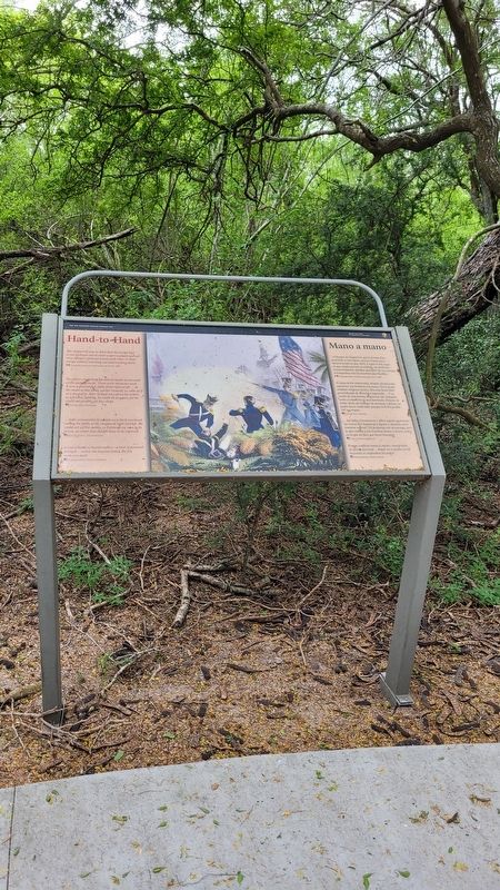
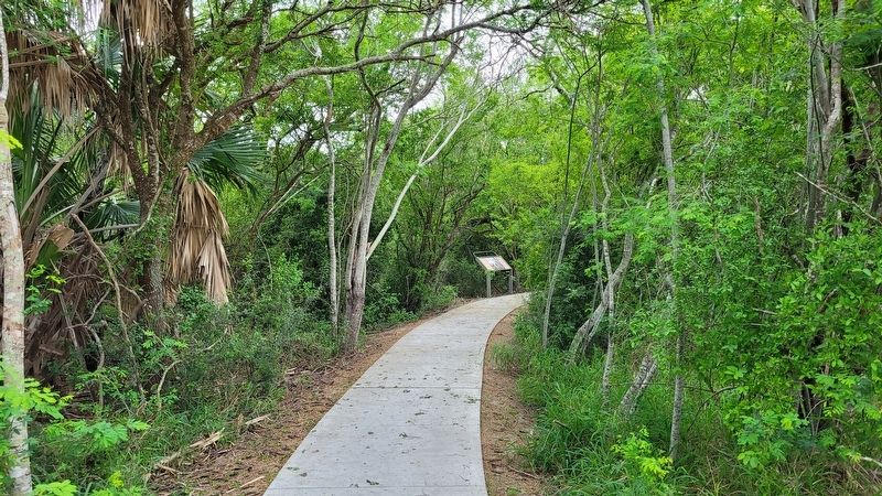
Location. 25° 56.22′ N, 97° 29.219′ W. Marker is in Brownsville, Texas, in Cameron County. Marker can be reached from the intersection of Paredes Line Road and Palo Verde Drive. The marker is located along the southern section of the Resaca de la Palma trail. Touch for map. Marker is at or near this postal address: 1024 Paredes Line Road, Brownsville TX 78521, United States of America. Touch for directions.
Other nearby markers. At least 8 other markers are within walking distance of this marker. Into the Mexican Camp (within shouting distance of this marker); These Brave Men (about 300 feet away, measured in a direct line); Take the Cannon! (about 400 feet away); The Battle of Resaca de la Palma (about 400 feet away); Fallen Side by Side (about 500 feet away); A Daunting Defense (about 700 feet away); Border War (about 800 feet away); Resaca de la Palma (about 800 feet away). Touch for a list and map of all markers in Brownsville.
More about this marker. The battlefield and the markers are located on the grounds of the Resaca de la Palma National Historical Park which is free to access.
Also see . . . Resaca de la Palma Battlefield. National Park Service - Department of the Interior
Resaca de la Palma, also known as Resaca de Guerrero, is an old, dry river channel of the Rio Grande. It is one of many long, water-filled ravines left behind by the shifting course of the winding river. The old pathway was lined with dense brush and its bed was dotted with pools of water. The Mexican Army hoped these natural features would limit any attack against troops positioned there.(Submitted on April 26, 2023, by James Hulse of Medina, Texas.)
Credits. This page was last revised on April 26, 2023. It was originally submitted on April 26, 2023, by James Hulse of Medina, Texas. This page has been viewed 61 times since then and 14 times this year. Photos: 1, 2, 3. submitted on April 26, 2023, by James Hulse of Medina, Texas.


