Near Shelbyville in Shelby County, Texas — The American South (West South Central)
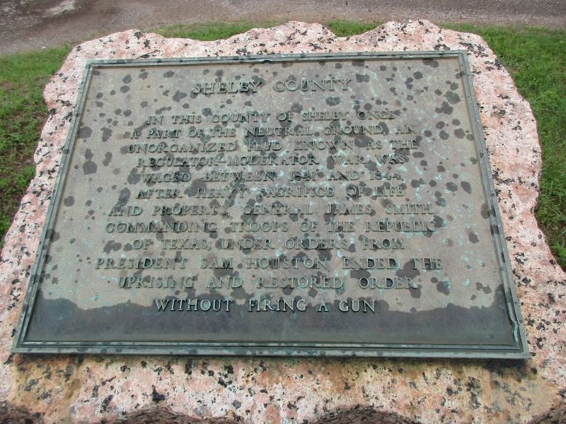
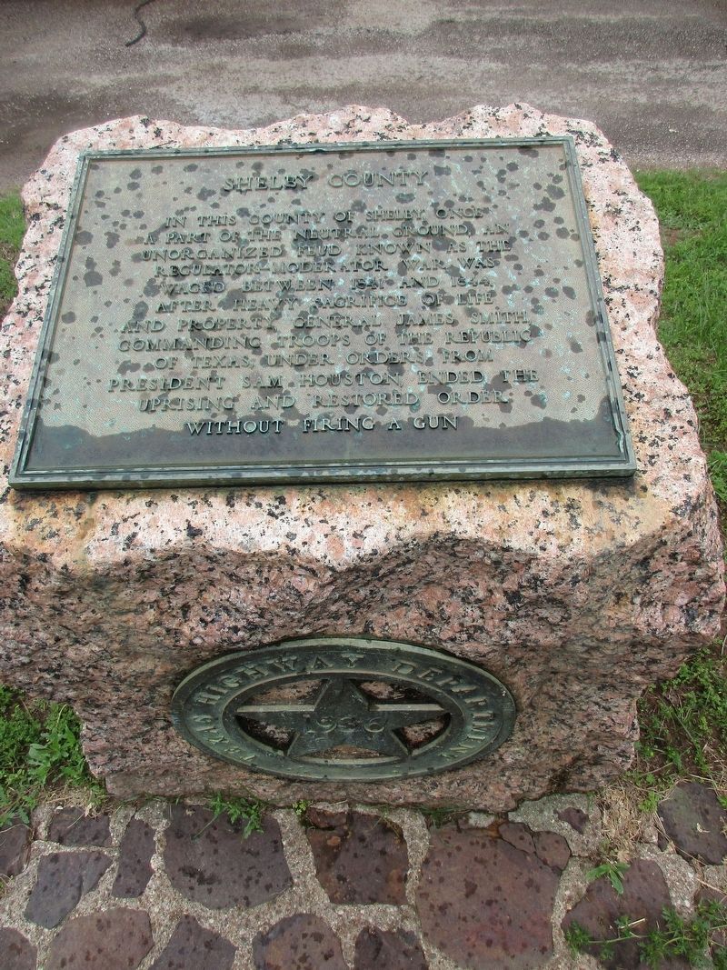
Shelby County
Erected 1936 by State of Texas.
Topics and series. This historical marker is listed in this topic list: Settlements & Settlers. In addition, it is included in the Texas 1936 Centennial Markers and Monuments series list.
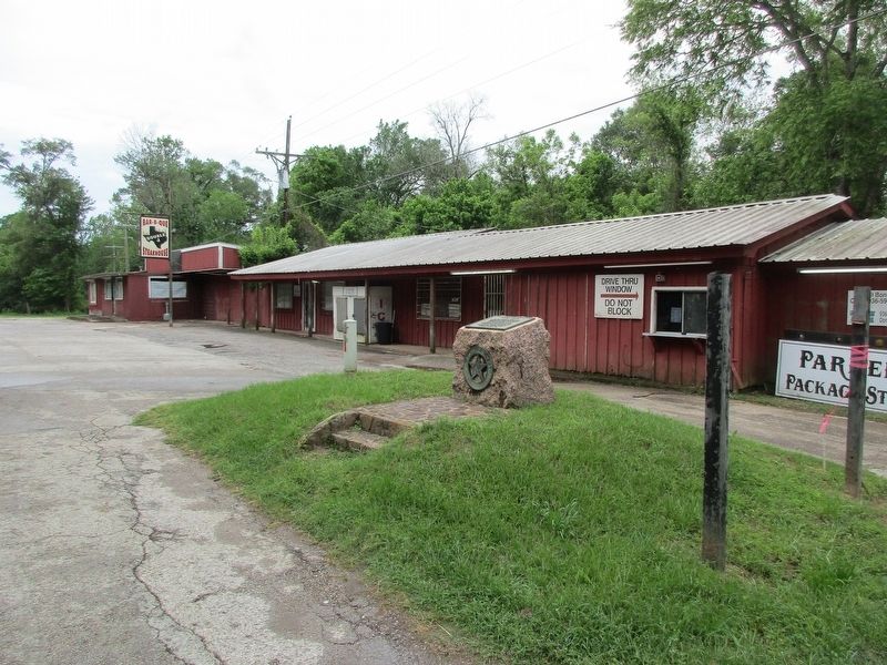
Location. 31° 46.107′ N, 94° 5.296′ W. Marker is near Shelbyville, Texas, in Shelby County. Marker is on State Highway 87, 0.7 miles north of Farm to Market Road 417, on the right when traveling south. In the parkinglot of Double J Bar-B-Que. Touch for map. Marker is at or near this postal address: 4280 State Highway 87 S, Shelbyville TX 75973, United States of America. Touch for directions.
Other nearby markers. At least 8 other markers are within 6 miles of this marker, measured as the crow flies. Site of the Last Battle (approx. 1.6 miles away); The First Battle (approx. 2.1 miles away); Racial Terror Lynchings / The Lynching of Lige Daniels (approx. 4.8 miles away); Fairview Cemetery (approx. 4.9 miles away); First Christian Church of Center (approx. 5.7 miles away); C.S.A. Texas Muster (approx. 5.8 miles away); Shelby County Courthouse (approx. 5.8 miles away); a different marker also named Shelby County (approx. 5.8 miles away).
Credits. This page was last revised on April 26, 2023. It was originally submitted on April 26, 2023, by Jeff Leichsenring of Garland, Texas. This page has been viewed 76 times since then and 23 times this year. Photos: 1, 2, 3. submitted on April 26, 2023, by Jeff Leichsenring of Garland, Texas. • James Hulse was the editor who published this page.


