Burlington in Halton Region, Ontario — Central Canada (North America)
The Founding of Burlington
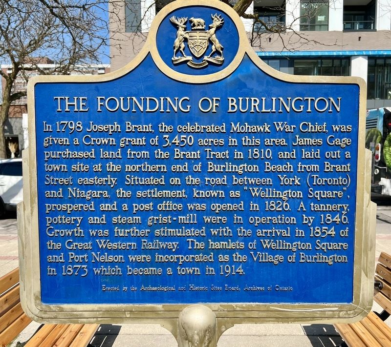
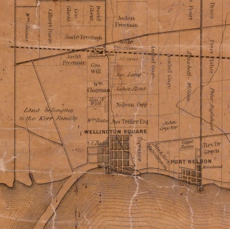
In 1798 Joseph Brant, the celebrated Mohawk War Chief, was given a Crown grant of 3,450 acres in this area. James Gage purchased land from the Brant Tract in 1810, and laid out a town site at the northern end of Burlington Beach from Brant Street easterly. Situated on the road between York (Toronto) and Niagara, the settlement, known as "Wellington Square", prospered and a post office was opened in 1826. A tannery, pottery and steam grist-mill were in operation by 1846. Growth was further stimulated with the arrival in 1854 of the Great Western Railway. The hamlets of Wellington Square and Port Nelson were incorporated as the Village of Burlington in 1873 which became a town in 1914.
Erected by the Archaeological and Historic Sites Board, Archives of Ontario
Erected by Archaeological and Historic Sites Board, Archives of Ontario.
Topics and series. This historical marker is listed in this topic list: Settlements & Settlers. In addition, it is included in the Canada, Ontario Heritage Foundation series list. A significant historical year for this entry is 1810.
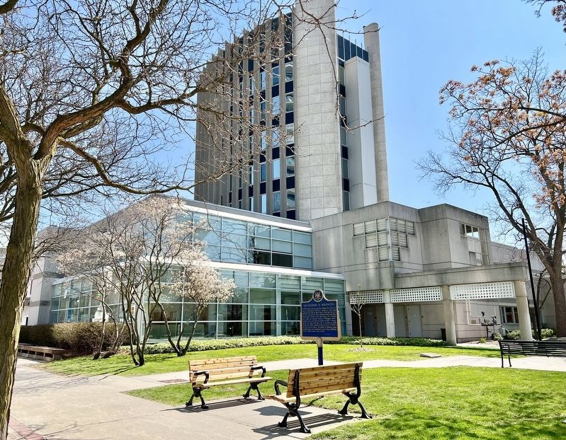
Location. 43° 19.575′ N, 79° 47.934′ W. Marker is in Burlington, Ontario, in Halton Region. Marker is at the intersection of Brant Street and Ontario Street, on the right when traveling south on Brant Street. Touch for map. Marker is in this post office area: Burlington ON L7R 1H1, Canada. Touch for directions.
Other nearby markers. At least 8 other markers are within 3 kilometers of this marker, measured as the crow flies. The Hamilton Radial Electric Railway (about 120 meters away, measured in a direct line); Spencer Smith (approx. 0.4 kilometers away); Reverend Thomas Greene at St. Luke’s, Wellington Square (approx. half a kilometer away); The Brant Inn (approx. 0.8 kilometers away); Terry Fox Marathon of Hope (approx. 0.8 kilometers away); The Brant House (approx. 0.9 kilometers away); Freeman Station Signal Mast Dedication (approx. 1.6 kilometers away); Burlington Bay Canal/ Le Canal de la Baie de Burlington (approx. 3.1 kilometers away). Touch for a list and map of all markers in Burlington.
Regarding The Founding of Burlington. The Brant Tract, commonly referred to as Brant’s Block, was patented to Joseph Brant in February of 1798. At that time, the Block was bounded by the Township of Flamborough to the west and Lake Ontario to the south. The northern extent of Brant’s Block was just south of the northern boundary of the First Concession South of Dundas Street and the eastern boundary extended easterly into Lot 18. Of Brant’s original Patent, 50 acres each was set aside for his wife and eight children.
Also see . . .
1. Burlington. The Canadian Encyclopedia website entry:
Indigenous peoples have lived in the Burlington area for thousands of years. The Neutral lived along the western end of Lake Ontario until the Iroquois Wars of the middle and late 17th century. During these wars, fought in part over control of the fur trade, the Haudenosaunee depopulated and dispersed the Neutral. In the early 1700s, the Anishinaabeg, including the Mississauga, began migrating to southwestern Ontario. In particular, they settled along the shores of Lake Ontario.(Submitted on April 28, 2023, by Tim Boyd of Hamilton, Ontario.)
2. Brant's Block. Nitrogenealogy website entry (Submitted on December 23, 2023, by Larry Gertner of New York, New York.)
Credits. This page was last revised on December 23, 2023. It was originally submitted on April 28, 2023, by Tim Boyd of Hamilton, Ontario. This page has been viewed 96 times since then and 38 times this year. Photos: 1, 2, 3. submitted on April 28, 2023, by Tim Boyd of Hamilton, Ontario. • Andrew Ruppenstein was the editor who published this page.


