Ranger in Eastland County, Texas — The American South (West South Central)
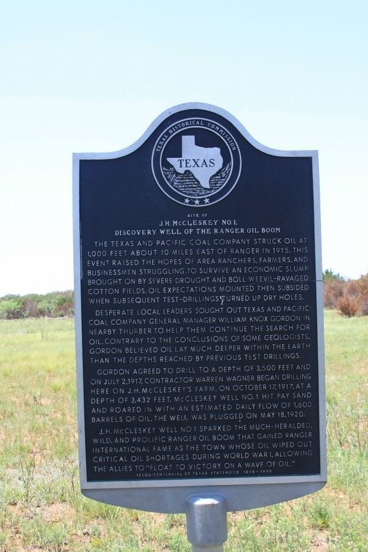
Site of J.H. McCleskey No. 1
Discovery Well of the Ranger Oil Boom
The Texas and Pacific Coal Company struck oil at 1,000 feet about 10 miles east of Ranger in 1915. This event raised the hopes of area ranchers, farmers, and businessmen struggling to survive an economic slump brought on by severe drought and boll weevil-ravaged cotton fields. Oil expectations mounted then subsided when subsequent test-drillings turned up dry holes.
Desperate local leaders sought out Texas and Pacific Coal Company general manager William Knox Gordon in nearby Thurber to help them continue the search for oil. Contrary to the conclusions of some geologists, Gordon believed oil lay much deeper within the earth than the depths reached by previous test drillings.
Gordon agreed to drill to a depth of 3,500 feet and on July 2,1917, contractor Warren Wagner began drilling here on J. H. McCleskey’s farm. On October 17, 1917, at a depth of 3.432 feet, McCleskey Well No.1 hit pay sand and roared in with an estimated daily flow of 1,600 barrels of oil. The well was plugged on May 18, 1920.
J. H. McCleskey Well No. 1 sparked the much-heralded, wild, and prolific Ranger oil boom that gained Ranger international fame as the town whose oil wiped out critical oil shortages during World War I, allowing the allies to "float to victory on a wave of oil."
Sesquicentennial of Texas Statehood 1845-1995
Erected 1994 by Texas Historical Commission. (Marker Number 4817.)
Topics. This historical marker is listed in these topic lists: Industry & Commerce • War, World I. A significant historical year for this entry is 1917.
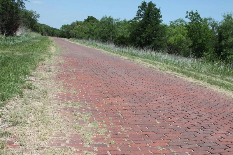
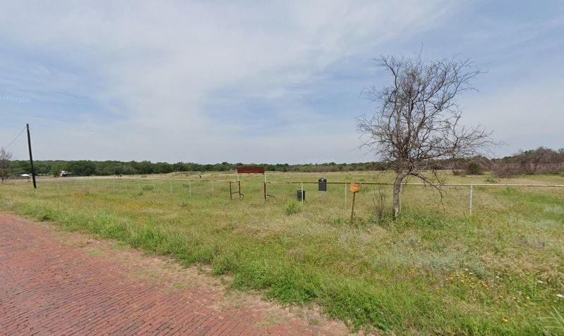
Location. 32° 27.028′ N, 98° 41.569′ W. Marker is in Ranger, Texas, in Eastland County. Marker is on South Commerce Street, 0.2 miles east of Old U.S. Highway 80, on the right when traveling west. Commerce Street, formerly part of U.S. Highway 80, parallels the railroad tracks through Ranger. This section of roadway is still paved with the original bricks of U.S. 80. Touch for map. Marker is in this post office area: Ranger TX 76470, United States of America. Touch for directions.
Other nearby markers. At least 8 other markers are within 2 miles of this marker, measured as the crow flies. Ranger Municipal Airport (approx. 0.8 miles away); The Bankhead Highway (approx. 1½ miles away); Well Number 19 (approx. 1½ miles away); Roaring Ranger (approx. 1½ miles away); Site of First Oil Well Drilled in Eastland County (approx. 1½ miles away); Merriman Cemetery (approx. 1.9 miles away); Merriman Baptist Church (approx. 1.9 miles away); Ranger Vietnam Veterans Memorial (approx. 1.9 miles away). Touch for a list and map of all markers in Ranger.
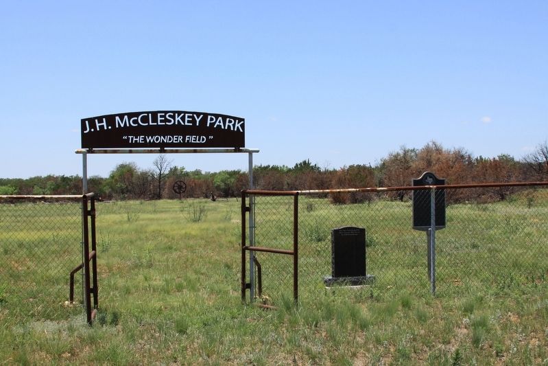
More about this marker. The marker's location is designated a city park and contains some discarded oil field equipment.
Credits. This page was last revised on April 23, 2024. It was originally submitted on April 28, 2023, by Wesley Harris of Ruston, Louisiana. This page has been viewed 157 times since then and 67 times this year. Photos: 1, 2, 3. submitted on April 28, 2023, by Wesley Harris of Ruston, Louisiana. 4. submitted on April 22, 2024, by Wesley Harris of Ruston, Louisiana. • J. Makali Bruton was the editor who published this page.


