Milam in Sabine County, Texas — The American South (West South Central)
Bethany Baptist Church
Photographed by Jeff Leichsenring, April 23, 2023
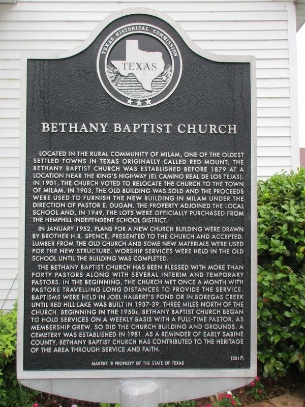
1. Bethany Baptist Church Marker
In January 1952, plans for a new church building were drawn by Brother H.R. Spence, presented to the church and accepted. Lumber from the old church and some new materials were used for the new structure. Worship services were held in the old school until the building was completed.
The Bethany Baptist Church has been blessed with more than forty pastors along with several interim and temporary pastors. In the beginning, the church met once a month with pastors travelling long distances to provide the service. Baptisms were held in Joel
this page online
Erected 2017 by Texas Historical Commission. (Marker Number 18648.)
Topics. This historical marker is listed in this topic list: Religion & Religious Structures. A significant historical month for this entry is January 1952.
Location. 31° 26.055′ N, 93° 50.739′ W. Marker is in Milam, Texas, in Sabine County. It is on Texas Route 87 0.1 miles north of Route 21, on the right when traveling north. Touch for map. Marker is at or near this postal address: 7078 Hwy 87, Milam TX 75959, United States of America. Touch for directions.

Regionally, this marker is in the American South, specifically in the Deep South, and in the Piney Woods. Globally, it is in North America, a Gulf of Mexico state,
Photographed by Jeff Leichsenring, April 23, 2023
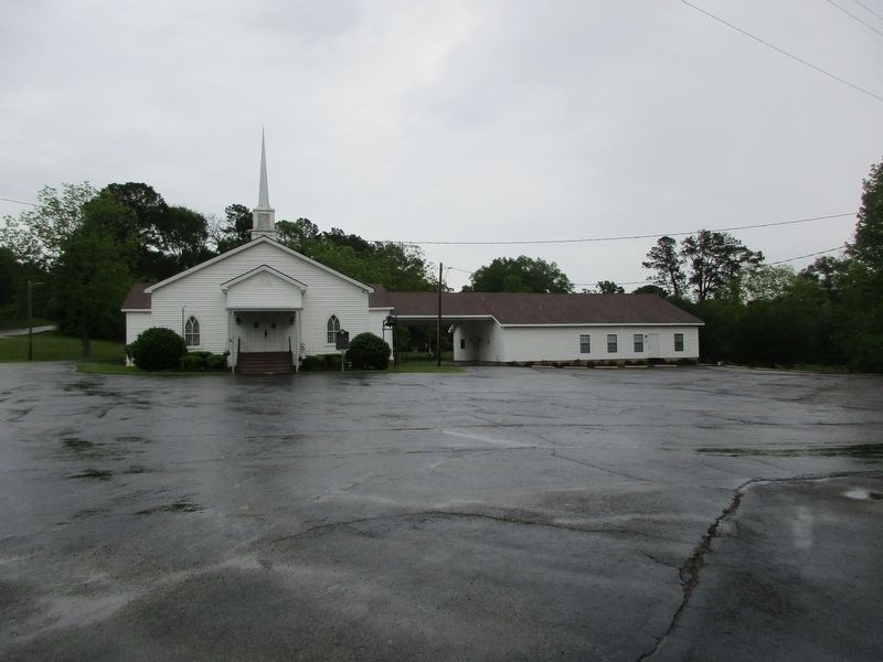
2. Bethany Baptist Church and Marker
Other nearby markers. At least 8 other markers are within walking distance of this marker: John C. Hale (about 600 feet away, measured in a direct line); Milam Masonic Institute (about 600 feet away); Milam (about 800 feet away); The Old San Antonio Road (about 800 feet away); Kings Highway (about 800 feet away); a different marker also named Milam (about 800 feet away); Meador Cemetery (approx. 0.2 miles away); C.A. Nethery & Sons General Merchandise (approx. ¼ mile away). Touch for a list and map of all markers in Milam.
Credits. This page was last revised on December 2, 2024. It was originally submitted on April 28, 2023, by Jeff Leichsenring of Garland, Texas. This page has been viewed 504 times since then and 53 times this year. Photos: 1, 2. submitted on April 28, 2023, by Jeff Leichsenring of Garland, Texas. • James Hulse was the editor who published this page.
