
Henderson in Rusk County, Texas — The American South (West South Central)
The 1860 Henderson Fire
Photographed by Jeff Leichsenring, April 23, 2023
1. The 1860 Henderson Fire Marker
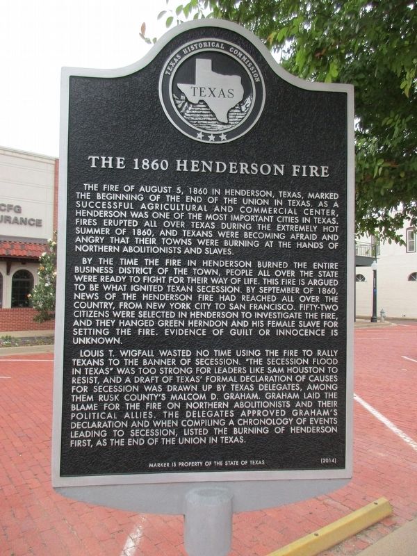
The fire of August 5, 1860 in Henderson, Texas, marked the beginning of the end of the Union in Texas. As a successful agricultural and commercial center, Henderson was one of the most important cities in Texas. Fires erupted all over Texas during the extremely hot summer of 1860, and Texans were becoming afraid and angry that their towns were burning at the hands of northern abolitionists and slaves.
By the time the fire in Henderson burned the entire business district of the town, people all over the state were ready to fight for their way of life. This fire is argued to be what ignited Texan secession. By September of 1860, news of the Henderson fire had reached all over the country, from New York City to San Francisco. Fifty-two citizens were selected in Henderson to investigate the fire, and they hanged Green Herndon and his female slave for setting the fire. Evidence of guilt or innocence is unknown.
Louis T. Wigfall wasted no time using the fire to rally Texans to the banner of secession. “The secession flood in Texas” was too strong for leaders like Sam Houston to resist, and a draft of Texas’ formal Declaration
this page online
Erected 2014 by Texas Historical Commission. (Marker Number 17979.)
Topics. This historical marker is listed in this topic list: Disasters. A significant historical date for this entry is August 5, 1860.
Location. 32° 9.203′ N, 94° 47.958′ W. Marker is in Henderson, Texas, in Rusk County. It is at the intersection of East Main Street and North Main Street on East Main Street. Heritage Square, at the intersection of North and South Main Streets with East and West Main Streets in the center of Henderson. Touch for map. Marker is at or near this postal address: 100 East Main St, Henderson TX 75652, United States of America. Touch for directions.

Regionally, this marker is in the American South, specifically in the Deep South, and in the Piney Woods. Globally, it is in North
Photographed by Jeff Leichsenring, April 23, 2023
2. The 1860 Henderson Fire Marker
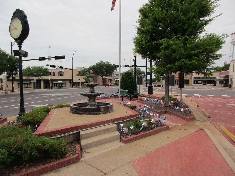
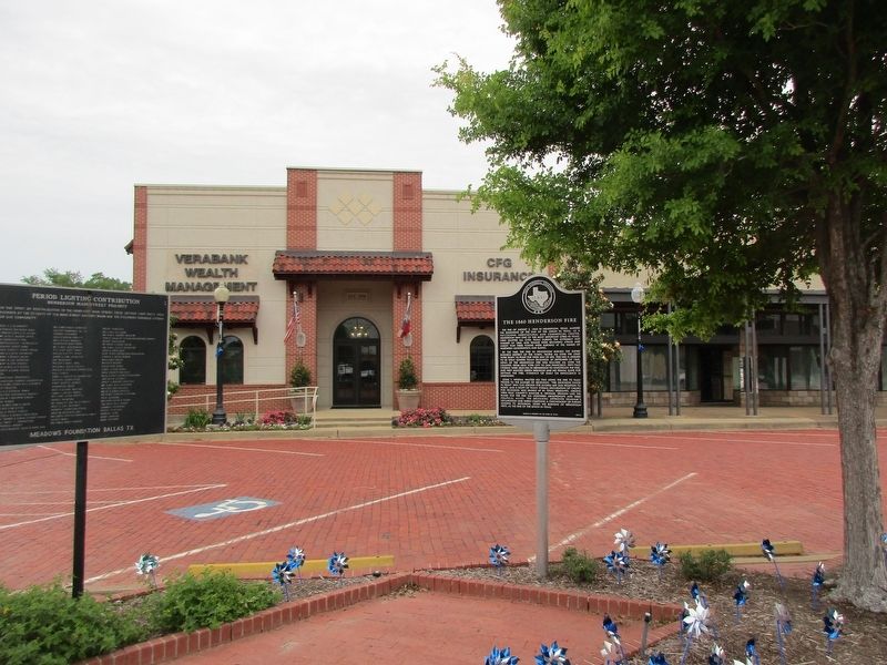
The marker is on the right (facing the opposite way) and the Henderson Marker is on the left.
Other nearby markers. At least 8 other markers are within walking distance of this marker: Henderson (a few steps from this marker); Masonic Lodge Building (within shouting distance of this marker); Merritt Building (within shouting distance of this marker); Thomas Jefferson Rusk (about 400 feet away, measured in a direct line); First Baptist Church of Henderson (about 500 feet away); The Rev. William Craig (about 700 feet away); Henderson City Cemetery (about 700 feet away); First United Methodist Church of Henderson (approx. 0.2 miles away). Touch for a list and map of all markers in Henderson.
Photographed by Jeff Leichsenring, April 23, 2023
3. The 1860 Henderson Fire Marker
Credits. This page was last revised on December 2, 2024. It was originally submitted on April 28, 2023, by Jeff Leichsenring of Garland, Texas. This page has been viewed 1,236 times since then and 129 times this year. Photos: 1, 2, 3. submitted on April 28, 2023, by Jeff Leichsenring of Garland, Texas. • James Hulse was the editor who published this page.
