Vermillion in Clay County, South Dakota — The American Midwest (Upper Plains)
Downtown Vermillion
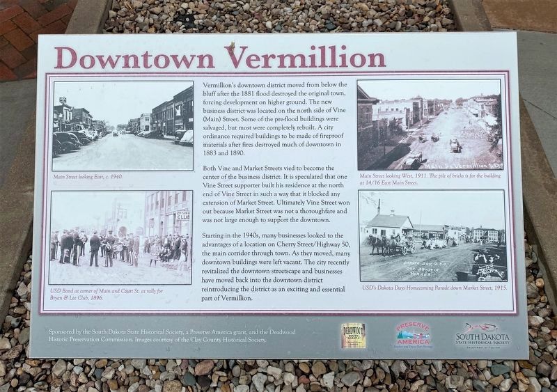
Both Vine and Market Streets vied to become the center of the business district. It is speculated that one Vine Street supporter built his residence at the north end of Vine Street in such a way that it blocked any extension of Market Street. Ultimately Vine Street won out because Market Street was not a thoroughfare and was not large enough to support the downtown.
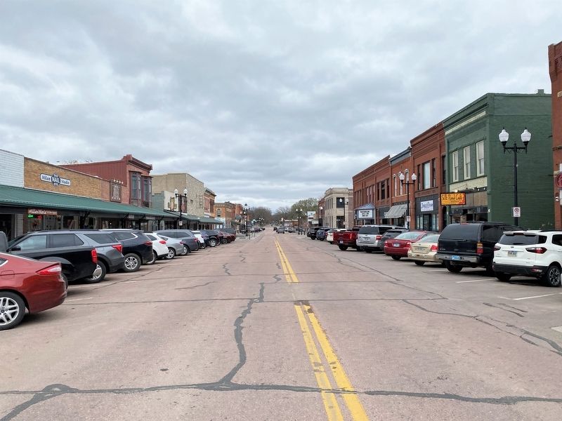
Starting in the 1940s, many businesses looked to the advantages of a location on Cherry Street/Highway 50, the main corridor through town. As they moved, many downtown buildings were left vacant. The city recently revitalized the downtown streetscape and businesses have moved back into the downtown district reintroducing the district as an exciting and essential part of Vermillion.
Captions:
Main Street looking East, c. 1940.
USD Band at corner of Main and Court St. at rally for Bryan & Lee Club, 1896.
Main Street looking West, 1911. The pile of bricks is for the building at 14/16 East Main Street.
USD's Dakota Days Homecoming Parade down Market Street, 1915.
Topics. This historical marker is listed in this topic list: Notable Places. A significant historical year for this entry is 1881.
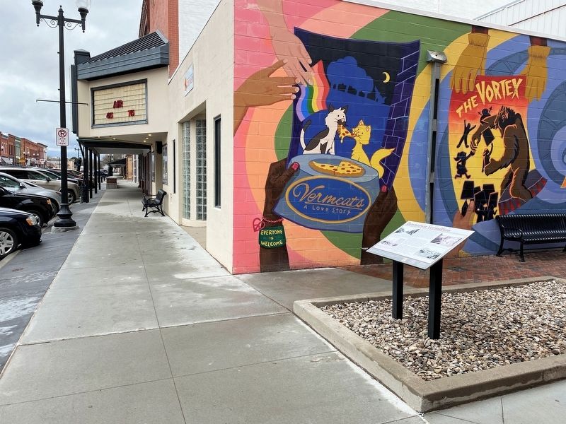
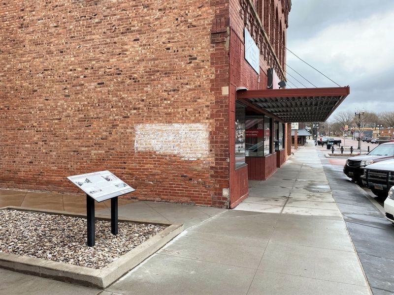
Location. 42° 46.772′ N, 96° 55.879′ W. Marker is in Vermillion, South Dakota, in Clay County. Marker is on East Main Street west of Church Street, on the right when traveling west. Touch for map. Marker is at or near this postal address: 12 E Main St, Vermillion SD 57069, United States of America. Touch for directions.
Other nearby markers. At least 8 other markers are within walking distance of this marker. The First Baptist Church, Vermillion, South Dakota (within shouting distance of this marker); Governor Andrew E. Lee (approx. 0.2 miles away); Clay County Veterans Memorial (approx. 0.2 miles away); Site of the First Permanent School House in Dakota Territory (approx. ¼ mile away); Grand Lodge Constitution Site (approx. ¼ mile away); University of South Dakota (approx. 0.4 miles away); Old Vermillion (approx. 0.4 miles away); Lewis and Clark / Vermillion (approx. 0.4 miles away). Touch for a list and map of all markers in Vermillion.
Credits. This page was last revised on April 30, 2023. It was originally submitted on April 29, 2023. This page has been viewed 75 times since then and 20 times this year. Photos: 1, 2, 3, 4. submitted on April 29, 2023.


