Near Georgetown in Scott County, Kentucky — The American South (East South Central)
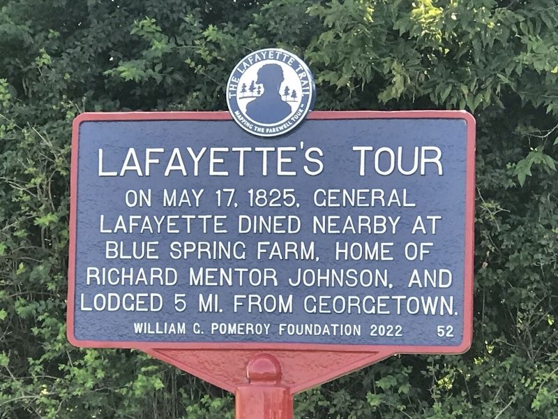
LaFayette's Tour
Mapping the Farewell Tour™
— The LaFayette Trail —
Erected 2022 by William G. Pomeroy Foundation. (Marker Number 52.)
Topics and series. This historical marker is listed in this topic list: Patriots & Patriotism. In addition, it is included in the William G. Pomeroy Foundation series list. A significant historical date for this entry is May 17, 1825.
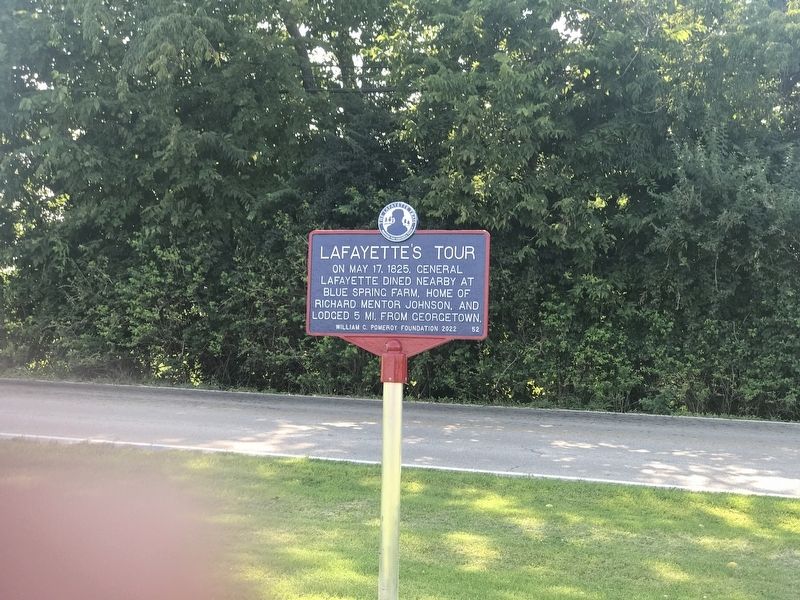
Location. 38° 12.801′ N, 84° 36.358′ W. Marker is near Georgetown, Kentucky, in Scott County. Marker is on Stamping Ground Road (Kentucky Route 227) 0.2 miles north of Frankfort Pike (U.S. 460), on the right when traveling north. Marker is on grounds of Great Crossing Baptist Church. Touch for map. Marker is at or near this postal address: 1061 Stamping Ground Rd, Georgetown KY 40324, United States of America. Touch for directions.
Other nearby markers. At least 8 other markers are within 3 miles of this marker, measured as the crow flies. Robert Johnson / Jemima Suggett Johnson (a few steps from this marker); Johnson Family Cemetery (about 300 feet away, measured in a direct line); Choctaw Indian Academy (approx. 0.2 miles away); U.S. Vice President (approx. 0.2 miles away); Ward Hall (approx. one mile away); Cardome (approx. 2.2 miles away); Hemp in Scott County / Hemp in Kentucky (approx. 2.2 miles away); Payne-Desha House / Joseph Desha (1768-1842) (approx. 2.3 miles away). Touch for a list and map of all markers in Georgetown.
Credits. This page was last revised on January 27, 2024. It was originally submitted on July 31, 2022, by Duane and Tracy Marsteller of Murfreesboro, Tennessee. This page has been viewed 272 times since then and 50 times this year. Last updated on May 3, 2023, by Bradley Owen of Morgantown, West Virginia. Photos: 1, 2. submitted on July 31, 2022, by Duane and Tracy Marsteller of Murfreesboro, Tennessee. • J. Makali Bruton was the editor who published this page.

