Bay Street Viaduct Area in Savannah in Chatham County, Georgia — The American South (South Atlantic)
Central of Georgia Railroad
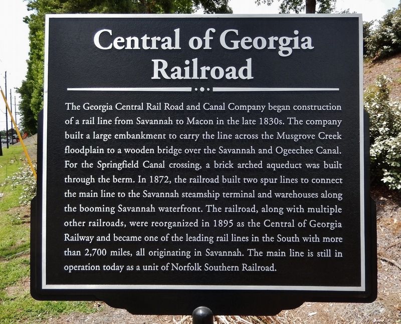
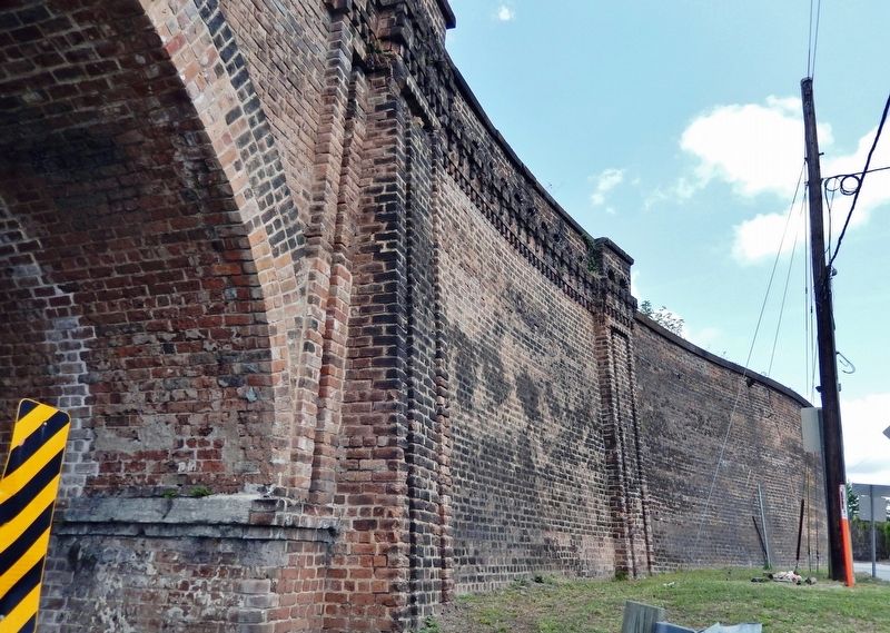
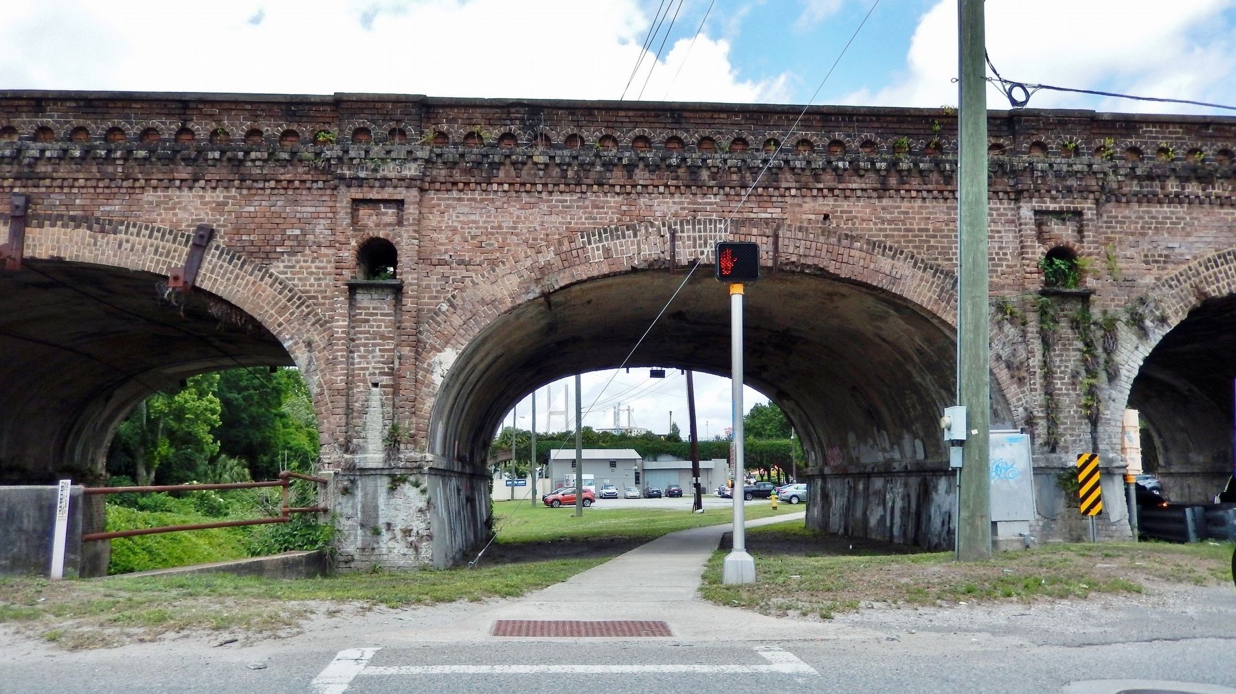
The Georgia Central Rail Road and Canal Company began construction of a rail line from Savannah to Macon in the late 1830s. The company built a large embankment to carry the line across the Musgrove Creek floodplain to a wooden bridge over the Savannah and Ogeechee Canal. For the Springfield Canal crossing, a brick arched aqueduct was built through the berm. In 1872, the railroad built two spur lines to connect the main line to the Savannah steamship terminal and warehouses along the booming Savannah waterfront. The railroad, along with multiple other railroads, were reorganized in 1895 as the Central of Georgia Railway and became one of the leading rail lines in the South with more than 2,700 miles, all originating in Savannah. The main line is still in operation today as a unit of Norfolk Southern Railroad.
Topics. This historical marker is listed in these topic lists: Architecture • Bridges & Viaducts • Industry & Commerce • Railroads & Streetcars. A significant historical year for this entry is 1872.
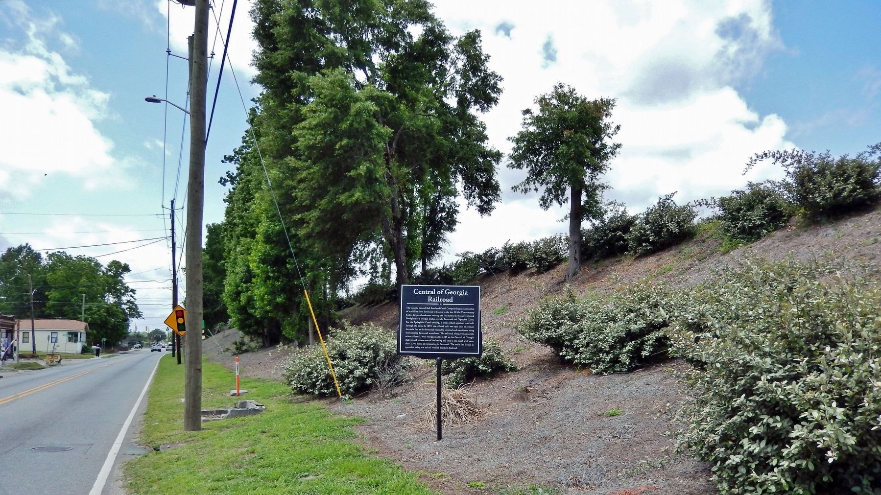
Location. 32° 4.712′ N, 81° 6.524′ W. Marker is in Savannah, Georgia, in Chatham County. It is in the Bay Street Viaduct Area. Marker is at the intersection of Louisville Road and Rothwell Street, on the right when traveling west on Louisville Road. Touch for map. Marker is in this post office area: Savannah GA 31415, United States of America. Touch for directions.
Other nearby markers. At least 8 other markers are within walking distance of this marker. Storehouse (approx. 0.4 miles away); Central of Georgia (approx. 0.4 miles away); Central Of Georgia Railroad (approx. half a mile away); Boiler Room (approx. half a mile away); Planing Shed & Lumber Shed (approx. half a mile away); Drop Table (approx. half a mile away); Colored Shopmen's Locker & Lavatory (approx. half a mile away); Smokestack (approx. half a mile away). Touch for a list and map of all markers in Savannah.
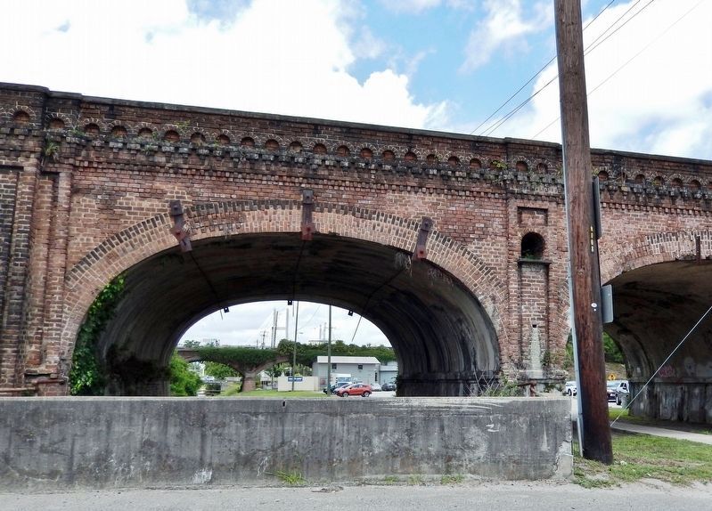
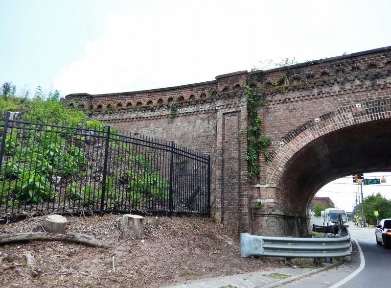
Regarding Central of Georgia Railroad. The brick aqueduct archways still cross the Springfield Canal and West Boundary Street — about 500 yards east of the marker where Louisville Road intersects West Boundary Street.
Also see . . .
1. Central of Georgia Railway. New Georgia Encyclopedia website entry:
The Central of Georgia Railway was one of the most significant railroads in the American South and a vital part of Georgia’s transportation infrastructure for more than 100 years. Georgians officially organized the Central in 1833. Originally known as the Central Railroad and Canal Company of Georgia, it was reorganized as the Central Rail Road and Banking Company in 1835. Through state charters, a steady increase in local investments, and the labor of Irish immigrants and enslaved African American, the line reached from Savannah to the outskirts of Macon by 1843.(Submitted on May 13, 2023, by Cosmos Mariner of Cape Canaveral, Florida.)
2. Central of Georgia 1853 Viaduct. Historic Bridges website entry:
Brick arch bridges are extremely rare nationwide. This bridge is particularly significant as pre-dating the Civil War. The bridge is handsomely designed with a number of architectural embellishments that enhance its appearance. Although the bridge is abandoned, it appears to retain good historic and structural integrity.(Submitted on May 13, 2023, by Cosmos Mariner of Cape Canaveral, Florida.)
3. Central of Georgia Railway, 1860 Brick Arch Viaduct, Spanning West Boundary Street & Canal. (Library of Congress photographs) (Submitted on May 13, 2023, by Cosmos Mariner of Cape Canaveral, Florida.)
Credits. This page was last revised on May 14, 2023. It was originally submitted on May 6, 2023, by Cosmos Mariner of Cape Canaveral, Florida. This page has been viewed 111 times since then and 27 times this year. Photos: 1, 2, 3, 4, 5, 6. submitted on May 13, 2023, by Cosmos Mariner of Cape Canaveral, Florida.
