Jesup in Wayne County, Georgia — The American South (South Atlantic)
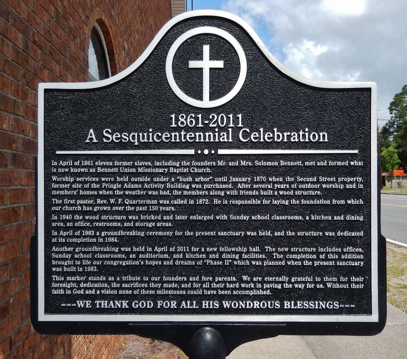
A Sesquicentennial Celebration
1861-2011
In April of 1861 eleven former slaves, including the founders Mr. and Mrs. Solomon Bennett, met and formed what is now known as Bennett Union Missionary Baptist Church.
Worship services were held outside under a “bush arbor” until January 1870 when the Second Street property, former site of the Pringle Adams Activity Building was purchased. After several years of outdoor worship and in members’ homes when the weather was bad, the members along with friends built a wood structure.
The first pastor, Rev. W. F. Quarterman was called in 1872. He is responsible for laying the foundation from which our church has grown over the past 150 years.
In 1940 the wood structure was bricked and later enlarged with Sunday school classrooms, a kitchen and dining area, an office, restrooms, and storage areas.
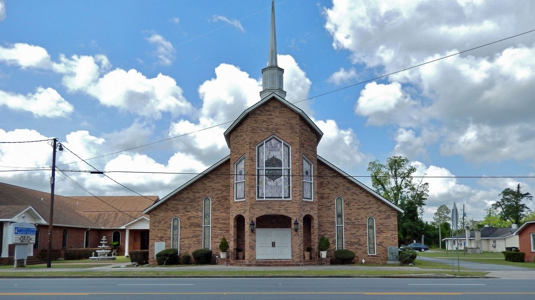
In April of 1983 a groundbreaking ceremony for the present sanctuary was held, and the structure was dedicated at its completion in 1984.
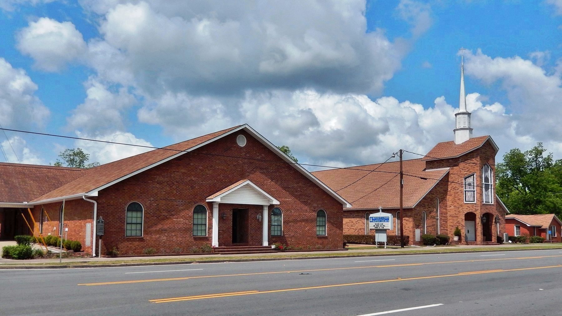
Another groundbreaking was held in April of 2011 for a new fellowship hall. The new structure includes offices, Sunday school classrooms, an auditorium, and kitchen and dining facilities. The completion of this addition brought to life our congregation’s hopes and dreams of "Phase II" which was planned when the present sanctuary was built in 1983.
This marker stands as a tribute to our founders and fore parents. We are eternally grateful to them for their foresight, dedication, the sacrifices they made, and for all their hard work in paving the way for us. Without their faith in God and a vision none of these milestones could have been accomplished.
Topics. This historical marker is listed in these topic lists: African Americans • Architecture • Churches & Religion. A significant historical month for this entry is April 1861.
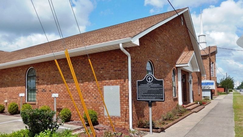
Location. 31° 36.607′ N, 81° 53.06′ W. Marker is in Jesup, Georgia, in Wayne County. Marker is on West Pine Street (Golden Isles Parkway) (U.S. 341) just west of North 2nd Street, on the left when traveling west. Marker is located along the sidewalk, at the southeast corner of the subject church. Touch for map. Marker is at or near this postal address: 401 West Pine Street, Jesup GA 31545, United States of America. Touch for directions.
Other nearby markers. At least 8 other markers are within 11 miles of this marker, measured as the crow flies. Alexander Jackson Gordon (approx. 0.4 miles away); Wayne County (approx. half a mile away); Wayne County Revolutionary War Memorial (approx. half a mile away); Doctortown (approx. 4.1 miles away); The Defense of the Altamaha Bridge (approx. 6.2 miles away); Franklinia Altamaha
(approx. 6.2 miles away); Long County Timeline Mural (approx. 10.7 miles away); Long County (approx. 10.8 miles away). Touch for a list and map of all markers in Jesup.
More about this marker. Both sides of marker have the same inscription.
Credits. This page was last revised on May 13, 2023. It was originally submitted on May 7, 2023, by Cosmos Mariner of Cape Canaveral, Florida. This page has been viewed 80 times since then and 27 times this year. Photos: 1, 2, 3, 4. submitted on May 13, 2023, by Cosmos Mariner of Cape Canaveral, Florida.


