Watchemoket Square His. Dist. in East Providence in Providence County, Rhode Island — The American Northeast (New England)
Washington Bridge
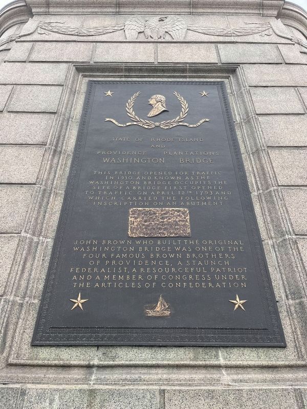
This bridge opened for traffic in 1930 and known as the Washington Bridge first opened to traffic on April 12th 1793 and which carried the following inscription on an abutment
Washington Bridge.
Built by John Brown Esq. 1793
This monument is erected
By the Founder & Proprietor of India Point
as a Testimony of High Respect
For the Great & Illustrious
Washington
John Brown who built the original Washington Bridge was one of the four famous Brown brothers of Providence, a staunch Federalist, a resourceful patriot and a member of Congress under the Articles of Confederation
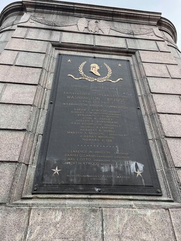
Erected 1930 by Washington Bridge Commission, State of Rhode Island and Providence Plantations.
Topics. This historical marker is listed in these topic lists: Bridges & Viaducts • Government & Politics • Patriots & Patriotism. A significant historical date for this entry is April 12, 1793.
Location. 41° 49.112′ N, 71° 22.991′ W. Marker is in East Providence, Rhode Island, in Providence County. It is in Watchemoket Square His. Dist.. Marker is on East Bay Bike Path north of Warren Avenue, on the right when traveling east. Touch for map. Marker is at or near this postal address: 29 Warren Ave, East Providence RI 02914, United States of America. Touch for directions.
Other nearby markers. At least 8 other markers are within walking distance of this marker. McDowell-Slade Memorial Bridge (about 400 feet away, measured in a direct line); Jocelyn-Silva Memorial Bridge (about 600 feet away); McLynch-Gilbert Memorial Bridge (about 800 feet away); Head of Narragansett Bay / Crossing the Seekonk River (approx. 0.2 miles away); West Bank / East Bank / Washington Bridges (approx. 0.2 miles away); Roger Williams Landing 1636 (approx. ¼ mile away); Bridging the Seekonk (approx. ¼ mile away); Roster of Bucklin Post No. 20 G.A.R. (approx. 0.3 miles away). Touch for a list and map of all markers in East Providence.

Photographed By Devry Becker Jones (CC0), May 4, 2023
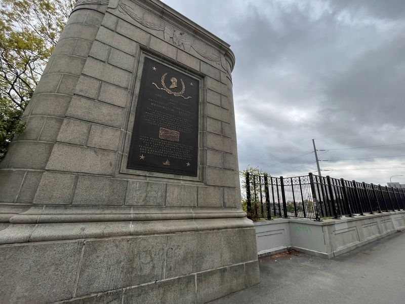
3. Dedication plaque on the west (Providence) end of the bridge
Credits. This page was last revised on May 7, 2023. It was originally submitted on May 7, 2023, by Devry Becker Jones of Washington, District of Columbia. This page has been viewed 134 times since then and 66 times this year. Photos: 1, 2, 3. submitted on May 7, 2023, by Devry Becker Jones of Washington, District of Columbia.

