BART Station in Orinda in Contra Costa County, California — The American West (Pacific Coastal)
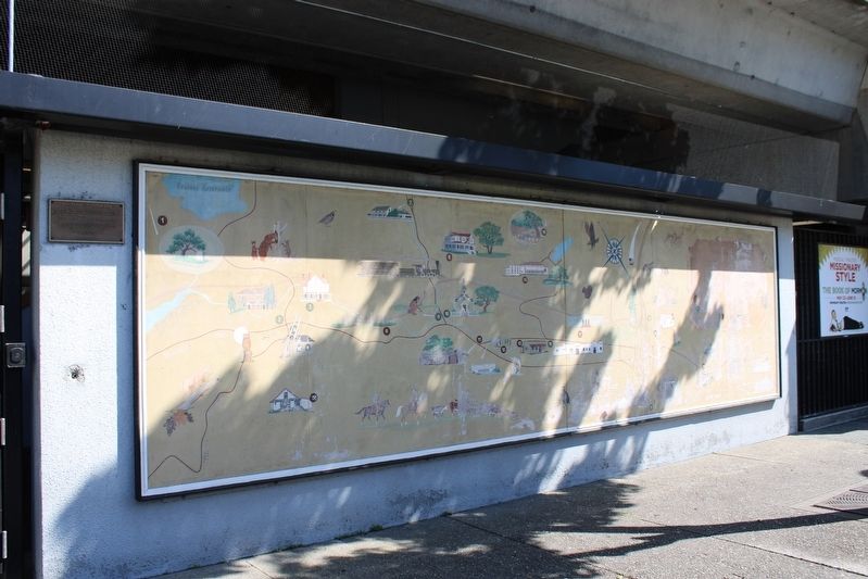
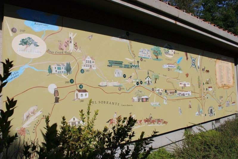
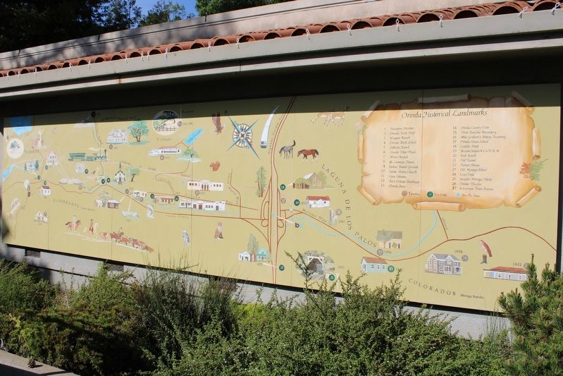
Orinda Mural
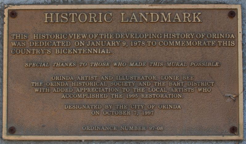
Historic Landmark
Special thanks to those who made this mural possible:
Orinda artist and illustrator, Lonie Bee
The Orinda Historical Society and the BART District
with added appreciation to the local artists who accomplished the 1995 restoration.
Designated by the City of Orinda
on October 7, 1997
Ordinance Number 97-08
Erected 1997 by City of Orinda.
Topics. This historical marker is listed in this topic list: Arts, Letters, Music. A significant historical year for this entry is 1978.
Location. 37° 52.696′ N, 122° 11.036′ W. Marker is in Orinda, California, in Contra Costa County. It is in BART Station. Marker can be reached from California Route 24 south of Camino Pablo, on the left when traveling south. The marker and mural are left of the BART station entrance. Touch for map. Marker is at or near this postal address: 11 Camino Pablo, Orinda CA 94563, United States of America. Touch for directions.
Other nearby markers. At least 8 other markers are within walking distance of this marker. The Crossroads (within shouting distance of this marker); Pony Express (within shouting distance of this marker); Bryant Station Site (about 500 feet away, measured in a direct line); a different marker also named The Pony Express (about 500 feet away); The Orinda Theatre, 1941 (about 500 feet away); The First Downtown (about 600 feet away); The deLaveaga Station (approx. 0.2 miles away); The Conklin Hotel (approx. 0.2 miles away). Touch for a list and map of all markers in Orinda.
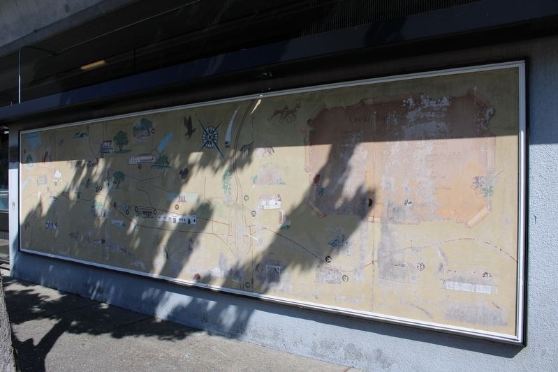
Regarding Orinda Mural. The mural is weathered, with faded images and illegible writing. In 2012 the Lamorinda Arts Council spearheaded the funding effort and oversaw the Orinda Historical Mural Replication and Relocation to Orinda Community Park with partners, Orinda Historical Landmarks Committee and Orinda Historical Society, and funders, the City of Orinda and the Orinda Community Foundation. The replica mural is located on a building behind the community center and adjacent to Orinda Community Park.
Credits. This page was last revised on May 8, 2023. It was originally submitted on May 8, 2023, by Joseph Alvarado of Livermore, California. This page has been viewed 65 times since then and 22 times this year. Photos: 1, 2, 3, 4, 5. submitted on May 8, 2023, by Joseph Alvarado of Livermore, California.
