Dundas in Hamilton, Ontario — Central Canada (North America)
Upper Canada’s First Paper Mill 1826
Photographed by Tim Boyd, May 10, 2023
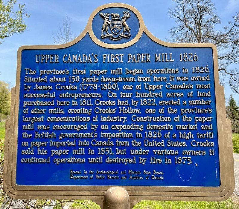
1. Upper Canada’s First Paper Mill 1826 Marker
The province's first paper mill began operations in 1826. Situated about 150 yards downstream from here, it was owned by James Crooks (1778-1860), one of Upper Canada's most successful entrepreneurs. On four hundred acres of land purchased here in 1811, Crooks had, by 1822, erected a number of other mills, creating Crooks' Hollow, one of the province's largest concentrations of industry. Construction of the paper mill was encouraged by an expanding domestic market and the British government's imposition in 1826 of a high tariff on paper imported into Canada from the United States. Crooks sold his paper mill in 1851, but under various owners it continued operations until destroyed by fire in 1875.
Erected by the Archaeological and Historic Sites Board,
Department of Public Records and Archives of Ontario
Erected by Archaeological and Historic Sites Board, Department of Public Records and Archives of Ontario.
Topics and series. This historical marker is listed in this topic list: Industry & Commerce. In addition, it is included in the Canada, Ontario Heritage Trust series list. A significant historical year for this entry is 1826.
Location. 43° 16.599′ N,
this page online

Regionally, this marker is on Ontario’s Golden Horseshoe, in the Hamilton-Halton-Brant Area, and specifically in the Toronto Metropolitan Area. It is also in Central Canada. Globally, it is in North America, on the Great Lakes, in the Western Hemisphere, in the Western World, and in the Anglosphere. Historically, it finds itself in what was once a British colony, the Viceroyalty of New France, the Haudenosaunee (Iroquois) Confederacy, and Rupert’s Land.
Other nearby markers. At least 8 other markers are within 5 kilometers of this marker, measured as the crow flies: Remnants of an 1840s Mercantile Block (approx. 1.5 kilometers away); West Flamboro, Christie’s Corners (approx. 2.3 kilometers away); Dundas Street / La Rue Dundas (approx. 3.1 kilometers
Photographed by Tim Boyd, May 10, 2023
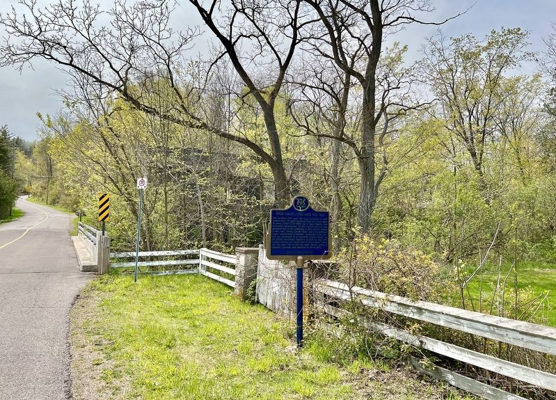
2. Upper Canada’s First Paper Mill 1826 Marker (looking west)
Also see . . . Dictionary of Canadian Biography- James Crooks. (the owner of the paper mill) As an industrialist Crooks was woefully aware of the shortage of working capital in Upper Canada and he opposed any impediments thrown in the way of private enterprise. For development to occur, he believed, private and public interests must dovetail. Probably because of his strong commercial background and conservative inclinations, he was named in 1822 to the first board of directors for the Bank of Upper Canada. (Submitted on May 10, 2023, by Tim Boyd of Hamilton, Ontario.)
Photographed by Tim Boyd, May 10, 2023
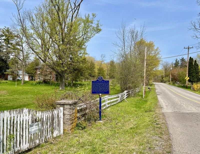
3. Upper Canada’s First Paper Mill 1826 Marker (looking east)
Photographed by Tim Boyd, May 10, 2023
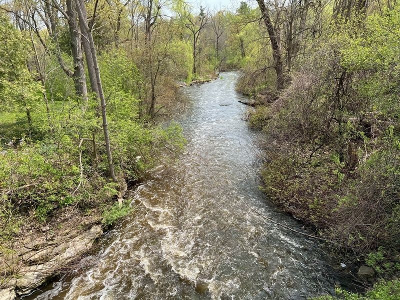
4. Spencer Creek, looking downstream from the marker location.
Towards the location of James Crooks’ paper mill.
Credits. This page was last revised on May 11, 2023. It was originally submitted on May 10, 2023, by Tim Boyd of Hamilton, Ontario. This page has been viewed 410 times since then and 48 times this year. Photos: 1, 2, 3, 4. submitted on May 10, 2023, by Tim Boyd of Hamilton, Ontario. • Andrew Ruppenstein was the editor who published this page.
