Amersfoort, Utrecht, Netherlands — Northwestern Europe
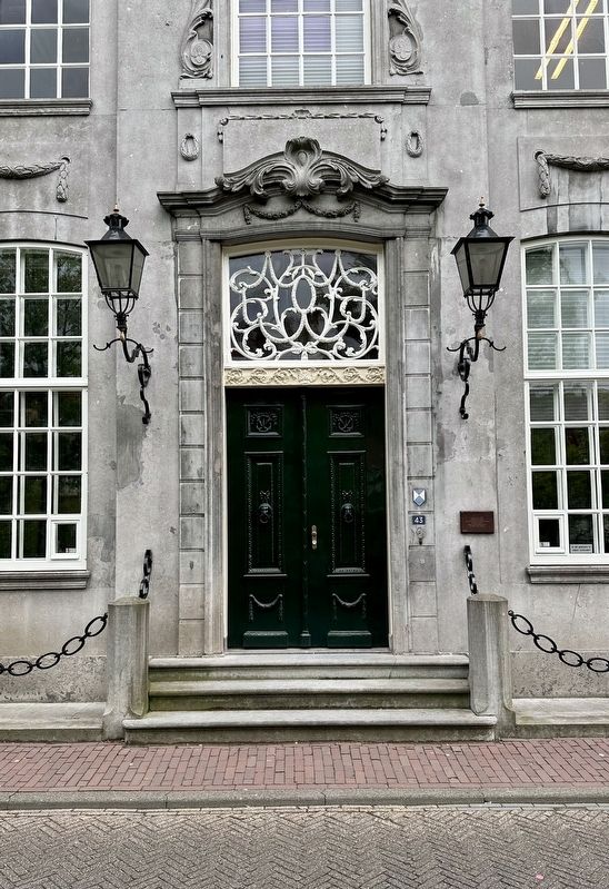
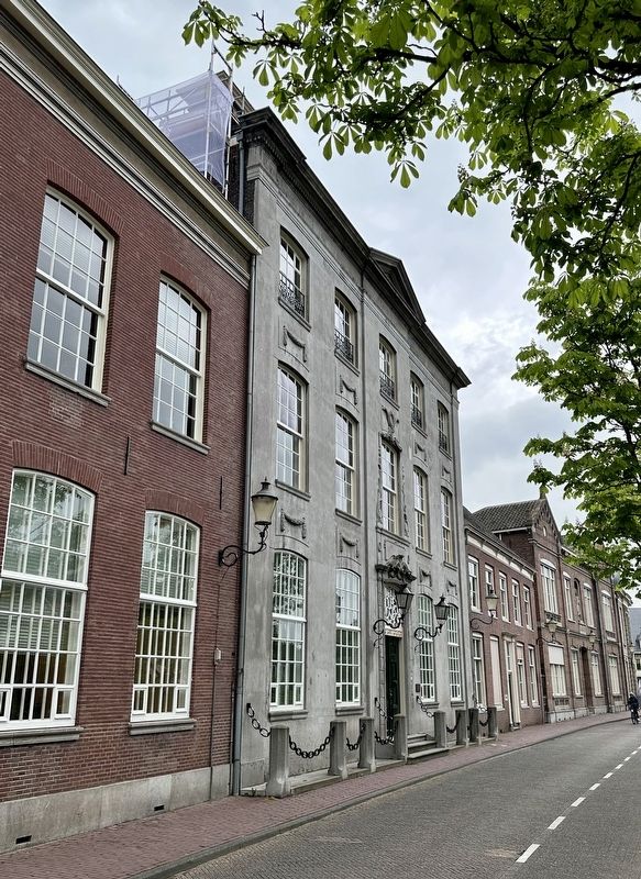
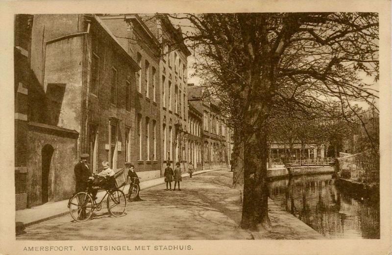
Oude Stadhuis / Former City Hall
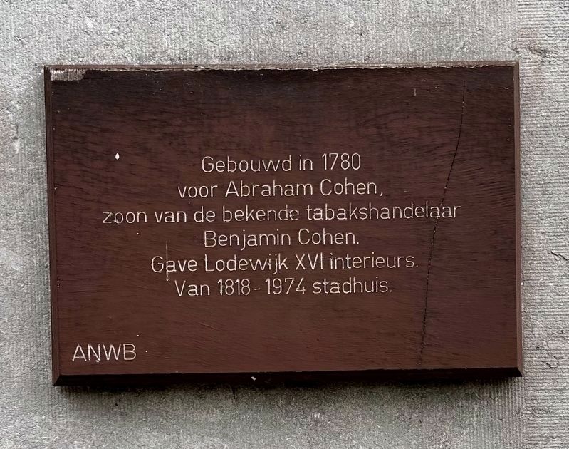
voor Abraham Cohen,
zoon van de bekende tabakshandelaar
Benjamin Cohen.
Gave Lodewijk XVI interieurs.
Van 1818-1974 stadhuis.
Built in 1780 for Abraham Cohen, son of noted tobacco merchant Benjamin Cohen. Pristine Louis XVI interiors. City hall from 1818 to 1974.
Erected by The ANWB.
Topics. This historical marker is listed in this topic list: Government & Politics. A significant historical year for this entry is 1780.
Location. 52° 9.399′ N, 5° 23.142′ E. Marker is in Amersfoort, Utrecht. Marker is on Westsingel, on the right when traveling south. Touch for map. Marker is at or near this postal address: Westsingel 43, Amersfoort, Utrecht 3813 MB, Netherlands. Touch for directions.
Other nearby markers. At least 8 other markers are within walking distance of this marker. Former City Hall Location (about 150 meters away, measured in a direct line); Abraham van Bemmel (about 180 meters away); Kapelhuis / Chapel House (about 210 meters away); Dubbel Stadshuis / Double Townhouse (approx. 0.3 kilometers away); Piet Mondriaan (approx. 0.4 kilometers away); Johan van Oldenbarnevelt (approx. 0.4 kilometers away); Voor Vrijheid is Moed Nodig / Freedom Needs Courage (approx. 0.4 kilometers away); Het Koetshuys / The Coach House (approx. 0.4 kilometers away). Touch for a list and map of all markers in Amersfoort.
Also see . . . Oude Stadhuis (Amersfoort op de Kaart, in Dutch).
Excerpt (in translation): Old town hall, now mainly for weddings. In 1780-1782, the Westsingel 43 building was built as a monumental residence, commissioned by Abraham Cohen (1751-1824), son of the famous Jewish tobacco merchant and banker Benjamin Cohen (1725-1800).(Submitted on May 11, 2023.)
In 1818 it was used as a town hall. It retained this function until 1974, then expanded to include neighboring buildings and various outbuildings. In 1974 the town hall moved to the much larger Stadhuisplein 1. The old town hall remained until 1982 for the municipal archives, which then moved to the restored Observantenklooster. The other office spaces were used by, among others, the Education Guidance Service Eemland. The building was completely restored in 1993, after which two wedding halls and a number of meeting and office spaces were established.
Credits. This page was last revised on December 31, 2023. It was originally submitted on May 11, 2023, by Andrew Ruppenstein of Lamorinda, California. This page has been viewed 39 times since then and 4 times this year. Photos: 1, 2, 3, 4. submitted on May 11, 2023, by Andrew Ruppenstein of Lamorinda, California.


