
Crawford in Dawes County, Nebraska — The American Midwest (Upper Plains)
Flagstaff, 1890
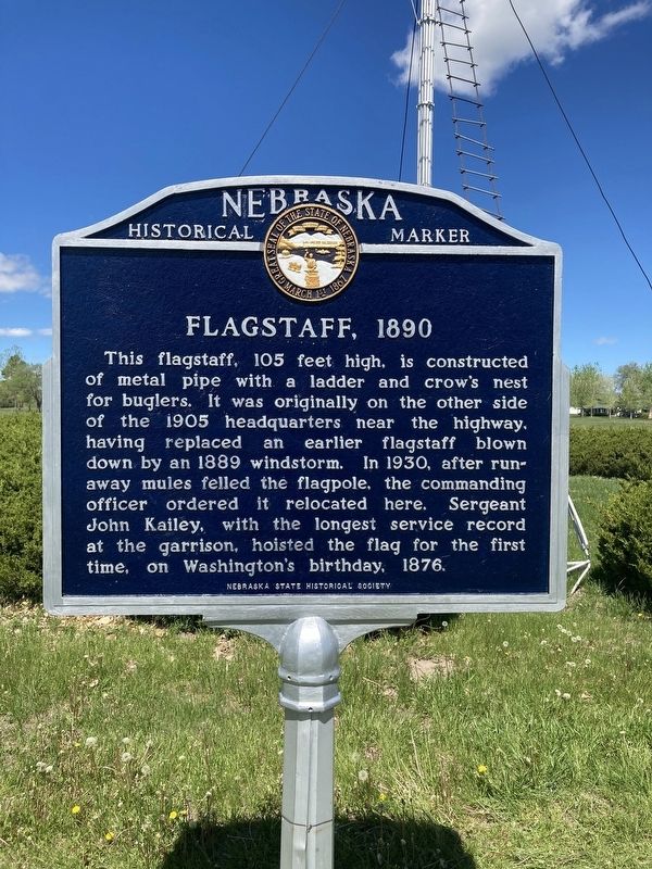
Photographed by Connor Olson, May 25, 2021
1. Flagstaff, 1890 Marker
Erected by Nebraska State Historical Society. (Marker Number 275.)
Topics and series. This historical marker is listed in these topic lists: Communications • Forts and Castles • Patriots & Patriotism. In addition, it is included in the Nebraska State Historical Society series list.
Location. 42° 40.108′ N, 103° 28.012′ W. Marker is in Crawford, Nebraska, in Dawes County. It can be reached from Bridges to Buttes Byway (U.S. 20) 0.1 miles south of Soldier Creek Road, on the right when traveling south. The marker stands at Fort Robinson State Park. Touch for map. Marker is
this page online

Regionally, this marker is in the Nebraska Panhandle. It is also in the American Midwest, in the Corn Belt, on the prairies, on the Great Plains, on the Northern Plains, and specifically on the High Plains. Globally, it is in North America, the Western Hemisphere, the Western World, and the Anglosphere. Historically, it finds itself in what was once the Louisiana Purchase.
Other nearby markers. At least 8 other markers are within walking distance of this marker: Ft. Robinson (here, next to this marker); Post Headquarters, 1905 (within shouting distance of this marker); Adobe Officers’ Quarters (about 300 feet away, measured in a direct line); 1887 Barracks Row (about 300 feet away); a different marker also named Ft. Robinson (about 300 feet away); Chief Crazy Horse (about 400 feet away); 1909 Brick Barracks (about 400 feet away); Officers’ Row, 1874-1875 (approx. 0.2 miles away). Touch for a list and map of all markers in Crawford.
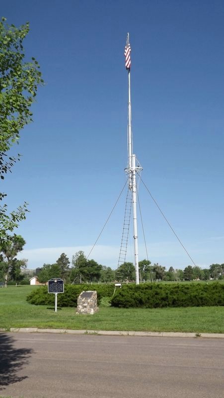
Photographed by Jeff Leichsenring, June 30, 2023
2. Flagstaff, 1890 Marker
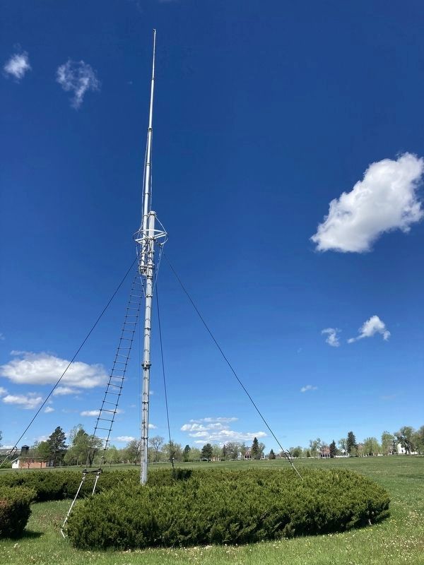
Photographed by Connor Olson, May 25, 2021
3. New Flagstaff
Credits. This page was last revised on July 14, 2023. It was originally submitted on May 26, 2021, by Connor Olson of Menomonee Falls, Wisconsin. This page has been viewed 303 times since then and 26 times this year. Last updated on May 14, 2023, by Jeff Leichsenring of Garland, Texas. Photos: 1. submitted on May 26, 2021, by Connor Olson of Menomonee Falls, Wisconsin. 2. submitted on July 12, 2023, by Jeff Leichsenring of Garland, Texas. 3. submitted on May 26, 2021, by Connor Olson of Menomonee Falls, Wisconsin. • J. Makali Bruton was the editor who published this page.
