Near Crawford in Dawes County, Nebraska — The American Midwest (Upper Plains)
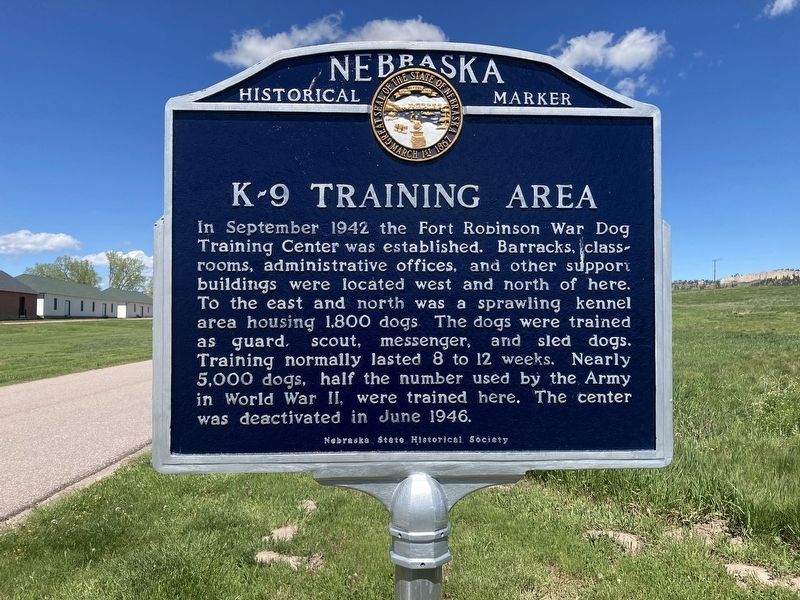
K-9 Training Area
Erected by Nebraska State Historical Society. (Marker Number 333.)
Topics and series. This historical marker is listed in these topic lists: Animals • Forts and Castles • War, World II. In addition, it is included in the Nebraska State Historical Society series list.
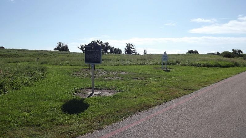
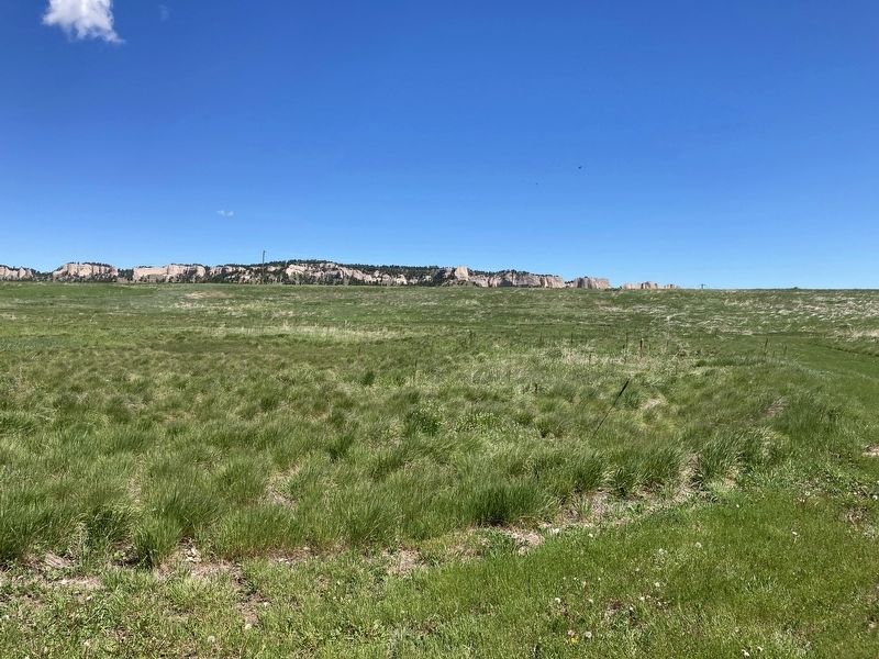
Location. 42° 40.028′ N, 103° 27.699′ W. Marker is near Crawford, Nebraska, in Dawes County. Marker can be reached from Bridges to Buttes Byway (U.S. 20) 0.1 miles south of Soldier Creek Road, on the right when traveling north. Touch for map. Marker is in this post office area: Harrison NE 69346, United States of America. Touch for directions.
Other nearby markers. At least 8 other markers are within walking distance of this marker. Officers’ Row, 1874-1875 (approx. 0.2 miles away); Chief Crazy Horse (approx. 0.2 miles away); Fort Robinson and the Railroad (approx. 0.2 miles away); Ft. Robinson (approx. ¼ mile away); Cavalry Barracks/Cheyenne Outbreak (approx. ¼ mile away); Adjuncts Office/Guardhouse (approx. ¼ mile away); Crazy Horse (approx. ¼ mile away); 1909 Brick Barracks (approx. ¼ mile away). Touch for a list and map of all markers in Crawford.
Credits. This page was last revised on July 14, 2023. It was originally submitted on May 26, 2021, by Connor Olson of Kewaskum, Wisconsin. This page has been viewed 167 times since then and 17 times this year. Last updated on May 14, 2023, by Jeff Leichsenring of Garland, Texas. Photos: 1. submitted on May 26, 2021, by Connor Olson of Kewaskum, Wisconsin. 2. submitted on July 12, 2023, by Jeff Leichsenring of Garland, Texas. 3. submitted on May 26, 2021, by Connor Olson of Kewaskum, Wisconsin. • J. Makali Bruton was the editor who published this page.


