Brownsville in Cameron County, Texas — The American South (West South Central)
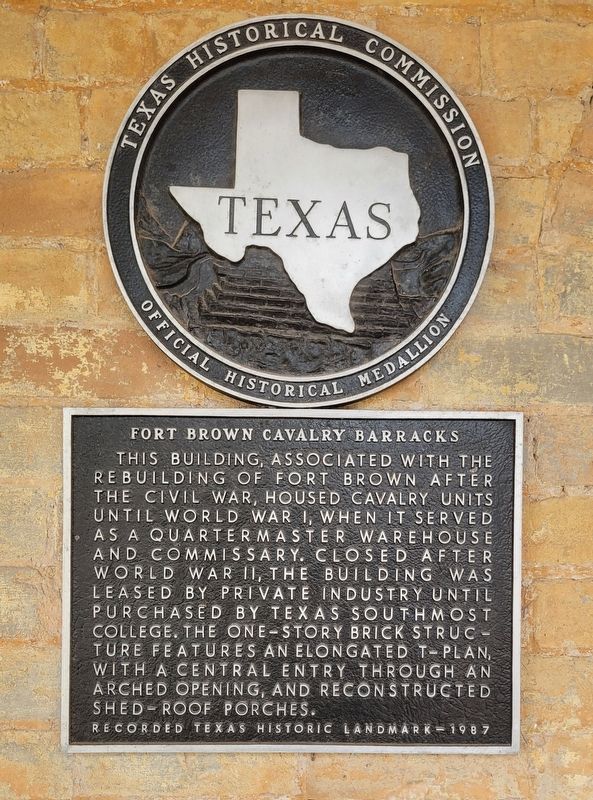
Fort Brown Cavalry Barracks
Erected 1987 by Texas Historical Commission. (Marker Number 1965.)
Topics. This historical marker is listed in these topic lists: Education • Forts and Castles • War, World I. A significant historical year for this entry is 1987.
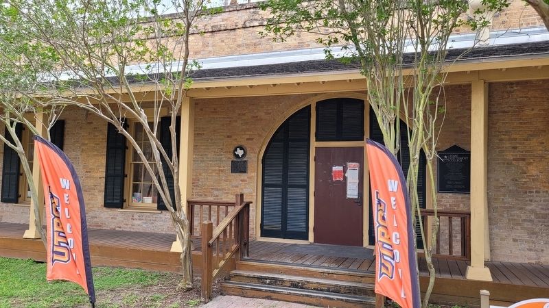
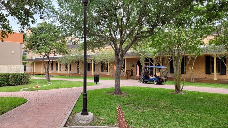
Location. 25° 53.795′ N, 97° 29.319′ W. Marker is in Brownsville, Texas, in Cameron County. Marker is at the intersection of Gorgas Drive and Ringgold Road, on the left when traveling east on Gorgas Drive. The marker is located at the northwest entrance of the Cavalry building on the campus of Texas Southmost College. Touch for map. Marker is at or near this postal address: 89 Gorgas Drive, Brownsville TX 78520, United States of America. Touch for directions.
Other nearby markers. At least 8 other markers are within walking distance of this marker. Cavalry Building (within shouting distance of this marker); Commissary (approx. 0.2 miles away); Fort Brown Commissary / Guardhouse Comisaria y Casa de la Guardia del Fuerte Brown (approx. 0.2 miles away); Fort Brown Commissary/Guardhouse (approx. 0.2 miles away); African American Troops at Fort Brown (approx. 0.2 miles away); Post Morgue (approx. ¼ mile away); Fort Brown Buildings 85 and 86 (approx. ¼ mile away); Post Hospital Annex (approx. ¼ mile away). Touch for a list and map of all markers in Brownsville.
More about this marker. The historic Fort Brown buildings are located around the campus of the Texas Southmost College.
Also see . . . Fort Brown. Texas State Historical Association (TSHA)
Fort Brown, originally called Fort Texas, was established when Zachary Taylor and the United States forces of occupation arrived on the Rio Grande on March 26, 1846, to establish the river as the southern boundary of Texas. In April 1846 Taylor built an earthen fort of 800 yards perimeter, with six bastions, walls more than nine feet high, a parapet of fifteen feet, and the whole surrounded by a ditch fifteen feet deep and twenty feet wide. Armament was four eighteen-pound guns. The Seventh Infantry, with Company I of the Second Artillery and Company E, Third Artillery, commanded by Maj. Jacob Brown, garrisoned the fort. Mexican troops led by Mariano Arista intercepted United States troops as they brought supplies from Fort Polk at Point Isabel to Fort Brown, leading to the opening battles of the war, Palo Alto and Resaca de la Palma, fought on May 8 and 9, 1846. On May 9 Major Brown died from injuries received during the bombardment of the fort by Mexican forces in Matamoros. Shortly after his death he was buried within the fortifications, and the post was named in his honor.(Submitted on May 14, 2023, by James Hulse of Medina, Texas.)
Credits. This page was last revised on May 14, 2023. It was originally submitted on May 14, 2023, by James Hulse of Medina, Texas. This page has been viewed 71 times since then and 19 times this year. Photos: 1, 2, 3. submitted on May 14, 2023, by James Hulse of Medina, Texas.


