Sherman in Grayson County, Texas — The American South (West South Central)
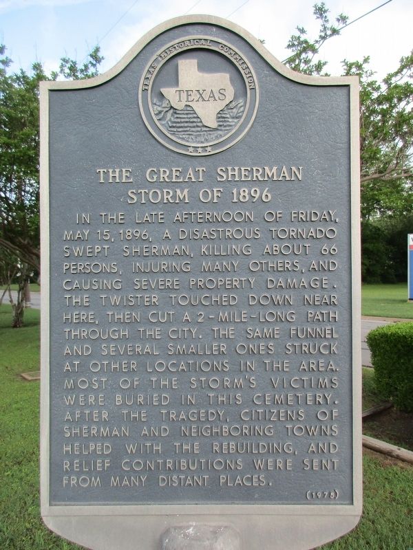
The Great Sherman Storm of 1896
Erected 1975 by Texas Historical Commission. (Marker Number 11539.)
Topics. This historical marker is listed in this topic list: Disasters.
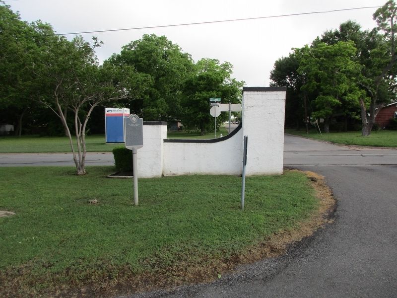
Location. 33° 37.971′ N, 96° 37.322′ W. Marker is in Sherman, Texas, in Grayson County. Marker is at the intersection of West Lamar Street and South Highland Avenue, on the left when traveling west on West Lamar Street. The marker is located at the West Hill Cemetery Main Gate. Touch for map. Marker is in this post office area: Sherman TX 75092, United States of America. Touch for directions.
Other nearby markers. At least 8 other markers are within walking distance of this marker. Kidd-Key College and Music Conservatory (approx. 0.7 miles away); Sherman Little Theater (approx. 0.7 miles away); First United Methodist Church of Sherman, Texas (approx. 0.7 miles away); War Memorial (approx. 0.7 miles away); World War I Memorial (approx. 0.7 miles away); Grayson County C.S.A. (approx. ¾ mile away); Metz House (approx. ¾ mile away); Hall Furniture Building (approx. ¾ mile away). Touch for a list and map of all markers in Sherman.
Credits. This page was last revised on May 17, 2023. It was originally submitted on May 16, 2023, by Jeff Leichsenring of Garland, Texas. This page has been viewed 114 times since then and 47 times this year. Photos: 1, 2. submitted on May 16, 2023, by Jeff Leichsenring of Garland, Texas. • James Hulse was the editor who published this page.

