Sherman in Grayson County, Texas — The American South (West South Central)
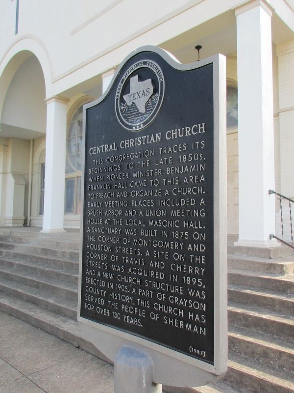
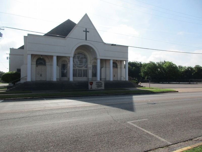
Central Christian Church
Erected 1987 by Texas Historical Commission. (Marker Number 7347.)
Topics. This historical marker is listed in this topic list: Churches & Religion.
Location. 33° 38.018′ N, 96° 36.495′ W. Marker is in Sherman, Texas, in Grayson County. Marker is at the intersection of South Travis Street and East Cherry Street, on the right when traveling north on South Travis Street. Touch for map. Marker is at or near this postal address: 401 S Travis Street, Sherman TX 75090, United States of America. Touch for directions.
Other nearby markers. At least 8 other markers are within walking distance of this marker. Walnut Street Church of Christ (about 400 feet away, measured in a direct line); Dannel Funeral Home (about 400 feet away); Old Sherman Public Library (about 400 feet away); Metz House (about 600 feet away); Hall Furniture Building (about 700 feet away); Courthouses of Grayson County (approx. 0.2 miles away); Butterfield Overland Mail Route Through Grayson County (approx. 0.2 miles away); Stone from Old Ox Mill (approx. 0.2 miles away). Touch for a list and map of all markers in Sherman.
Credits. This page was last revised on May 17, 2023. It was originally submitted on May 16, 2023, by Jeff Leichsenring of Garland, Texas. This page has been viewed 90 times since then and 35 times this year. Photos: 1, 2. submitted on May 16, 2023, by Jeff Leichsenring of Garland, Texas. • James Hulse was the editor who published this page.
Editor’s want-list for this marker. Clear straight closeup photo of the marker • Can you help?

